world.wikisort.org - Netherlands
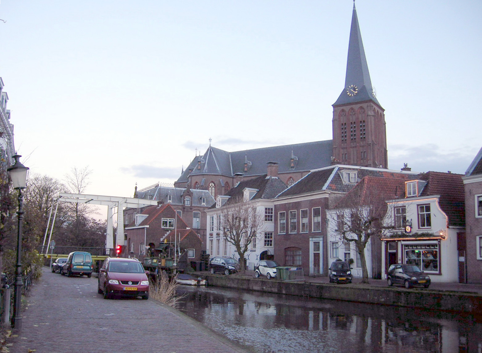
Maarssen (Dutch pronunciation: [ˈmaːrsə(n)] (![]() listen)) is a town in the middle of the Netherlands, in the province of Utrecht, along the river Vecht and the Amsterdam–Rhine Canal. The west of Maarssen is called Maarssen-Broek[1] whereas the east is called Maarssen-Dorp. Both put together and joined by other small towns around provide the area of Maarssen.
listen)) is a town in the middle of the Netherlands, in the province of Utrecht, along the river Vecht and the Amsterdam–Rhine Canal. The west of Maarssen is called Maarssen-Broek[1] whereas the east is called Maarssen-Dorp. Both put together and joined by other small towns around provide the area of Maarssen.
Maarssen | |
|---|---|
Town and former municipality | |
 | |
 Flag  Coat of arms | |
 | |
| Coordinates: 52.135144°N 5.041297°E | |
| Country | Netherlands |
| Province | Utrecht |
| Municipality | Stichtse Vecht |
| Area (2006) | |
| • Total | 30.86 km2 (11.92 sq mi) |
| • Land | 27.20 km2 (10.50 sq mi) |
| • Water | 3.66 km2 (1.41 sq mi) |
| Population (1 January 2007) | |
| • Total | 39,363 |
| • Density | 1,447/km2 (3,750/sq mi) |
| Source: CBS, Statline. | |
| Time zone | UTC+1 (CET) |
| • Summer (DST) | UTC+2 (CEST) |
| Website | www.stichtsevecht.nl |
On 1 January 2011 Maarssen merged with the councils of Breukelen and Loenen to become Stichtse Vecht.
Population centres
The former municipality of Maarssen consisted of the following cities, towns, villages and/or districts:
- Maarssen (colloquially "Maarssen-dorp") and Maarssen-Broek
- Maarssenbroek
- Maarsseveen
- Molenpolder
- Oud-Maarsseveen
- Oud-Zuilen
- Tienhoven
Transportation
- Maarssen railway station
References
- Statistics are taken from the SDU Staatscourant Archived 2006-02-19 at the Wayback Machine
External links
 Media related to Maarssen at Wikimedia Commons
- Official website
- Historische Kring Maarssen
- Maarssen 2000
Authority control | |
|---|---|
| General | |
| National libraries | |
| Other |
|
This Utrecht location article is a stub. You can help Wikipedia by expanding it. |
На других языках
- [en] Maarssen
[ru] Маарсен
Маарсен (нидерл. Maarssen) — город в Нидерландах, в провинции Утрехт. До 2011 года - отдельная община (коммуна). С 1 января 2011 года входит в состав новообразованной общины Стихтсе-Вехт. В Маарсене расположена администрация этой общины.Текст в блоке "Читать" взят с сайта "Википедия" и доступен по лицензии Creative Commons Attribution-ShareAlike; в отдельных случаях могут действовать дополнительные условия.
Другой контент может иметь иную лицензию. Перед использованием материалов сайта WikiSort.org внимательно изучите правила лицензирования конкретных элементов наполнения сайта.
Другой контент может иметь иную лицензию. Перед использованием материалов сайта WikiSort.org внимательно изучите правила лицензирования конкретных элементов наполнения сайта.
2019-2026
WikiSort.org - проект по пересортировке и дополнению контента Википедии
WikiSort.org - проект по пересортировке и дополнению контента Википедии