world.wikisort.org - Netherlands
Krimpenerwaard (Dutch pronunciation: [ˈkrɪmpənərˌʋaːrt]) is a municipality, a region and a former water board of the Netherlands. It is a rural area located in the east of the province of South Holland, just south of Gouda and east of the Rotterdam conurbation. It is bordered on the north by the river Hollandse IJssel, on the south by the river Lek and on the east by the stream Vlist.[1]
Krimpenerwaard | |
|---|---|
Municipality | |
 Krimpenerwaard landscape on an October morning in 2009 | |
 Flag Coat of arms | |
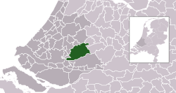 Location in South Holland | |
| Coordinates: 51°59′N 4°47′E | |
| Country | Netherlands |
| Province | South Holland |
| Government | |
| • Body | Municipal council |
| • Mayor | Pieter Paans (VVD) |
| Time zone | UTC+1 (CET) |
| • Summer (DST) | UTC+2 (CEST) |
| Area code | 0180/0182 |
| Website | www |


Krimpenerwaard obtains its name from the fact that "Krimp" used to mean a bend in a river and "Waard" is the Dutch word for an interfluvial area between the winter dikes of different river channels (in this case, the Lek and the Hollandse IJssel).[2] There are other such waarden in this area. The Lopikerwaard lies to the east; the Zuidplaspolder to the west. The name Krimpenerwaard first appeared in the historical records in 944.
The municipality is named after the region Krimpenerwaard and was formed by a merger of the municipalities of Nederlek, Ouderkerk, Vlist, Bergambacht and Schoonhoven on 1 January 2015.[3]
Geography
The towns and villages in the Krimpenerwaard are:
- Schoonhoven
- Bergambacht
- Stolwijk
- Ammerstol
- Haastrecht
- Berkenwoude
- Lekkerkerk
- Krimpen aan de Lek
- Vlist
- Gouderak
- Ouderkerk aan den IJssel
Topography

Dutch topographic map of the municipality of Krimpenerwaard, June 2015
Notable people
- John of Schoonhoven (1356/7 in Schoonhoven – 1432) a Flemish theologian and writer
- Herman Naiwincx (1623 in Schoonhoven – 1670) a Dutch Golden Age landscape painter and printmaker
- Arnoldus Montanus (ca.1625 – 1683 in Schoonhoven) a teacher and author on theology, history and geography.
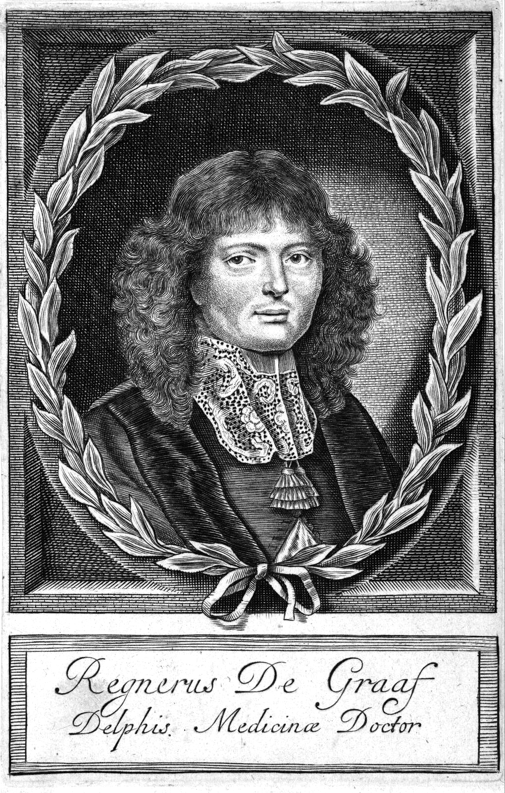
- Regnier de Graaf (1641 in Schoonhoven – 1673) a Dutch physician and anatomist who made key discoveries in reproductive biology
- Justine Constance Wirix-van Mansvelt (1876 in Schoonhoven – 1937) an expert on Dante Alighieri (1265–1321)
- Andreas Rinkel (1889 in Ouderkerk aan de Amstel – 1979) a Dutch priest and the 19th Archbishop of Utrecht from 1937 to 1970.
- Reijer Hooykaas (1906 in Schoonhoven – 1994) a Dutch historian of science
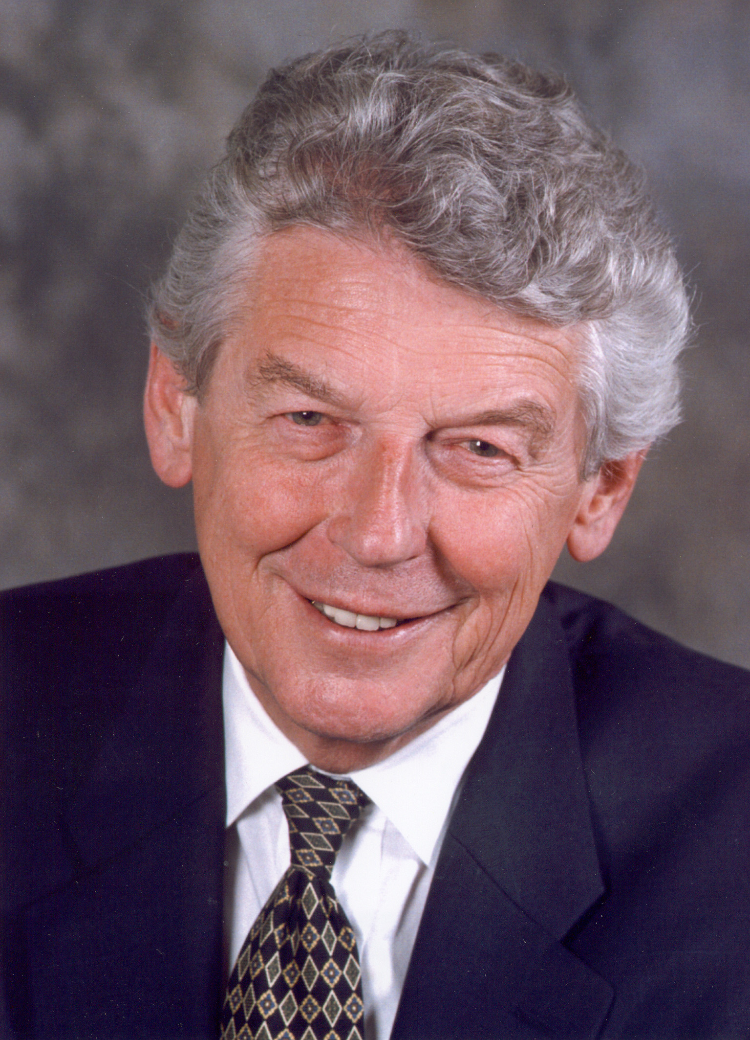
- Wim Kok (1938 in Bergambacht – 2018) a Dutch politician, Prime Minister of the Netherlands 1994 to 2002
- Marrie Bot (born 1946 in Bergambacht) a Dutch photographer and graphic designer
- Martin van Bruinessen (born 1946 in Schoonhoven) a Dutch academic, anthropologist and author
- Max van den Berg (born 1946 in Ammerstol) a Dutch politician
- Jamai Loman (born 1986) a Dutch singer, brought up in Schoonhoven[4]
Sport
- Jacob van der Kop (1868 in Schoonhoven – 1945) a sports shooter, competed at the 1908 Summer Olympics
- Gijs Lamoree (1903 in Schoonhoven – 1966) a Dutch athlete, competed in the men's long jump and the men's triple jump at the 1928 Summer Olympics
- Hein Vergeer (born 1961 in Haastrecht) a former speed skater, competed at the 1988 Winter Olympics
- Leo Visser (born 1966 in Haastrecht) is a Dutch former speed skater, four time medallist at the 1988 and the 1992 Summer Olympics
- Edith van Dijk (born 1973 in Haastrecht) a Dutch swimmer and 6-fold world champion
- Yvonne van Vlerken (born 1978 in Krimpen aan de Lek) a Dutch triathlete and duathlete
- Patrick Roest (born 1995 in Lekkerkerk) a Dutch speed skater
Gallery
 Schoonhoven - Haven
 Bergambacht, Hervormde Kerk, campanile
 Vlist, de Stokjesbrug
 Baarhuisje Sint-Barnabaskerk, Haastrecht


Notes
- This is a translation of the article by the same name on the Dutch version of Wikipedia.
- Wang, Y.; Koopmans, B. N.; Pohl, C. "The 1995 Flood in the Netherlands Monitored from Space - a Multisensor Approach". adsabs.harvard.edu.
- "Herindeling vijf gemeenten Krimpenerwaard". Binnenlands Bestuur (in Dutch). Retrieved 3 January 2015.
- IMDb Database retrieved 26 August 2019
External links
- Nieko Jongerius's website on the Krimpenerwaard
- Map of Krimpenerwaard on Google Maps
- English page on the website for the Schieland en de Krimpenerwaard District Water Board
Places adjacent to Krimpenerwaard | ||||||||||||||||
|---|---|---|---|---|---|---|---|---|---|---|---|---|---|---|---|---|
| ||||||||||||||||
Municipalities of South Holland | ||
|---|---|---|
|  | |
| ||
Authority control | |
|---|---|
| General | |
| National libraries | |
| Other |
|
This South Holland location article is a stub. You can help Wikipedia by expanding it. |
На других языках
- [en] Krimpenerwaard
[ru] Кримпенервард
Кримпенервард (нидерл. Krimpenerwaard) — город и община в провинции Южная Голландия (Нидерланды). Располагается чуть южнее Гауда и восточнее агломерации Роттердама. Границы общины очерчены на севере по реке Эйссел, на юге по реке Лек и на востоке по ручью Влист.Другой контент может иметь иную лицензию. Перед использованием материалов сайта WikiSort.org внимательно изучите правила лицензирования конкретных элементов наполнения сайта.
WikiSort.org - проект по пересортировке и дополнению контента Википедии