world.wikisort.org - Netherlands
Denekamp (Dutch pronunciation: [ˈdeːnəkɑmp] (![]() listen)) is a town in the Dutch province of Overijssel. It is a part of the region of Twente and the municipality of Dinkelland, and lies about 9 km northeast of Oldenzaal.
listen)) is a town in the Dutch province of Overijssel. It is a part of the region of Twente and the municipality of Dinkelland, and lies about 9 km northeast of Oldenzaal.
Denekamp | |
|---|---|
Town | |
 Former town hall | |
 Coat of arms | |
| Nickname(s): Köttelpeern | |
 The town centre (dark green) and the statistical district (light green) of Denekamp in the municipality of Dinkelland. | |
 Denekamp Location in the Netherlands  Denekamp Denekamp (Netherlands) | |
| Coordinates: 52°22′46″N 7°0′32″E | |
| Country | Netherlands |
| Province | Overijssel |
| Municipality | Dinkelland |
| Area | |
| • Total | 18.29 km2 (7.06 sq mi) |
| Elevation | 26 m (85 ft) |
| Population (2021)[1] | |
| • Total | 9,125 |
| • Density | 500/km2 (1,300/sq mi) |
| Demonym(s) | Denekampers |
| Time zone | UTC+1 (CET) |
| • Summer (DST) | UTC+2 (CEST) |
| Postal code | 7591[1] |
| Dialing code | 0541 |
The town was first noted as early as the 10th century when it was referred to as Daginghem, and means "settlement of the people of Dago or Dano".[3] The village started around the church which was built in 1275. It remained isolated and small until 1829 when the road from Deventer to Hamburg was built.[4]
The location became a municipality in 1818 incorporating the settlements of Noord Deurningen, Lattrop, Breklenkamp, Tilligte, Nutter and Agelo. The municipality merged with Ootmarsum and Weerselo in 2001; the new municipality was first called "Denekamp", but was renamed in 2002 to Dinkelland.[5]
The Town is known in the hardstyle scene, to be home of various Hardstyle DJ's.
Notable people from Denekamp
- Roméo Dallaire (1946-), Canadian senator and retired general.
- Hennie Kuiper (1949-), world champion cyclist.
- Tanja Nijmeijer, FARC member.
- Radical Redemption, Hardstyle producer and DJ.
Gallery
 Windmill: de Sint Nicolaasmolen
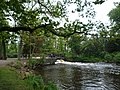 Brook
Brook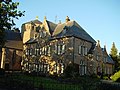 Clergy house
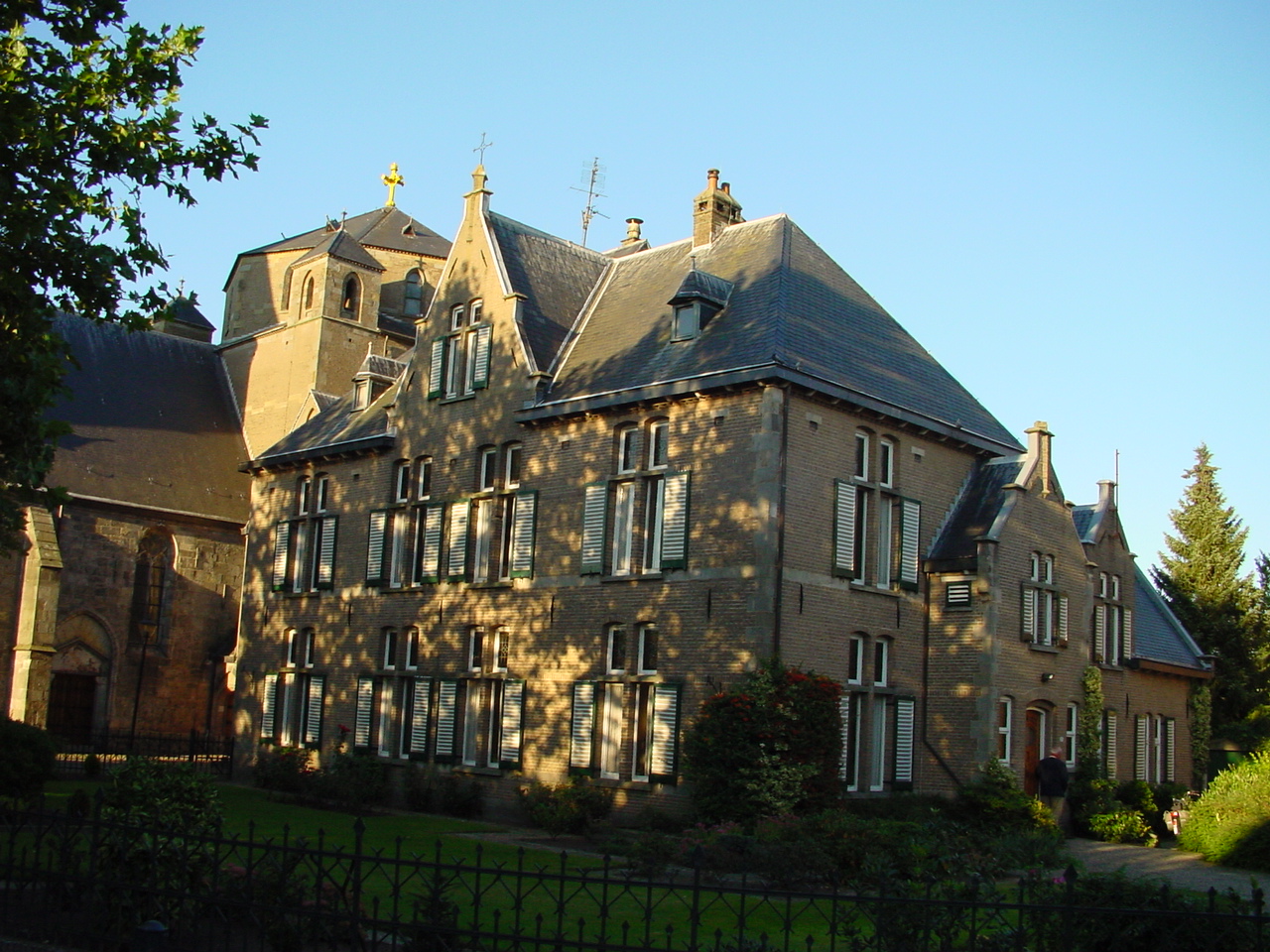
 St. Nicholas Church in Denekamp


References
- "Kerncijfers wijken en buurten 2021". Central Bureau of Statistics. Retrieved 15 March 2022.
- "Postcodetool for 7591AA". Actueel Hoogtebestand Nederland (in Dutch). Het Waterschapshuis. Retrieved 15 March 2022.
- "Denekamp - (geografische naam)". Etymologiebank (in Dutch). Retrieved 15 March 2022.
- Ronald Stenvert & Jan ten Hove (1998). "Denekamp" (in Dutch). Zwolle: Waanders. p. 93. ISBN 90 400 9200 1. Retrieved 15 March 2022.
- Ad van der Meer and Onno Boonstra, Repertorium van Nederlandse gemeenten, KNAW, 2011.
| Wikimedia Commons has media related to Denekamp. |
Authority control | |
|---|---|
| General | |
| National libraries | |
| Other |
|
This Overijssel location article is a stub. You can help Wikipedia by expanding it. |
Другой контент может иметь иную лицензию. Перед использованием материалов сайта WikiSort.org внимательно изучите правила лицензирования конкретных элементов наполнения сайта.
WikiSort.org - проект по пересортировке и дополнению контента Википедии