world.wikisort.org - Netherlands
Ane (Dutch Low Saxon: Aone) is a village in the Dutch province of Overijssel. It is located in the municipality Hardenberg, about 5 km northeast of the centre of Hardenberg.
Ane
Aone | |
|---|---|
Hamlet | |
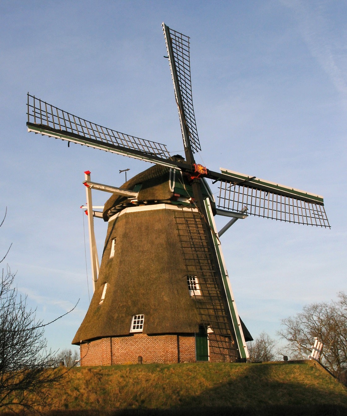 The Anermolen (windmill of Ane | |
 Ane Location in province of Overijssel in the Netherlands  Ane Ane (Netherlands) | |
| Coordinates: 52°36′48″N 6°39′3″E | |
| Country | Netherlands |
| Province | Overijssel |
| Municipality | Hardenberg |
| Area | |
| • Total | 8.54 km2 (3.30 sq mi) |
| Elevation | 10 m (30 ft) |
| Population (2021)[1] | |
| • Total | 560 |
| • Density | 66/km2 (170/sq mi) |
| Time zone | UTC+1 (CET) |
| • Summer (DST) | UTC+2 (CEST) |
| Postal code | 7784[1] |
| Dialing code | 0524 |
In 1227, the Battle of Ane was fought during which the bishop of Utrecht was defeated by the citizens of Drenthe.[3] In 1840, it was home to 358 people.[4] In 1864, the gristmill Anermolen was built. It was restored in 1981.[5]
References
- "Kerncijfers wijken en buurten 2021". Central Bureau of Statistics. Retrieved 14 March 2022.
- "Postcodetool for 7784CB". Actueel Hoogtebestand Nederland (in Dutch). Het Waterschapshuis. Retrieved 14 March 2022.
- Jan ten Hove (1998). "Gramsbergen" (in Dutch). Zwolle: Waanders. p. 154. ISBN 90 400 9200 1. Retrieved 14 March 2022.
- "Ane". Plaatsengids (in Dutch). Retrieved 14 March 2022.
- "Anermolen". Molendatabase (in Dutch). Retrieved 14 March 2022.
Wikimedia Commons has media related to Ane.
This Overijssel location article is a stub. You can help Wikipedia by expanding it. |
Текст в блоке "Читать" взят с сайта "Википедия" и доступен по лицензии Creative Commons Attribution-ShareAlike; в отдельных случаях могут действовать дополнительные условия.
Другой контент может иметь иную лицензию. Перед использованием материалов сайта WikiSort.org внимательно изучите правила лицензирования конкретных элементов наполнения сайта.
Другой контент может иметь иную лицензию. Перед использованием материалов сайта WikiSort.org внимательно изучите правила лицензирования конкретных элементов наполнения сайта.
2019-2026
WikiSort.org - проект по пересортировке и дополнению контента Википедии
WikiSort.org - проект по пересортировке и дополнению контента Википедии