world.wikisort.org - Morocco
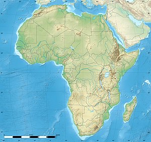
Ahfir (Arabic: احفير, romanized: Āḥfyr, Berber languages: ⴰⵃⴼⵉⵔ, romanized: Aḥfir) is a town in Berkane Province, Oriental, Morocco, adjacent the border with Algeria. According to the 2004 census, it has a population of 19,482.[1] The name Ahfir refers to the stone quarry which was exploited in this village founded by Hubert Lyautey at the time of the French protectorate. This village, which is inhabited by Beni Iznassen, was the gateway to the French invasion by Lyautey in 1907 leading to the imposition of the French protectorate from 1912 until 1956.
Ahfir
احفير ⴰⵃⴼⵉⵔ | |
|---|---|
Town | |
| Coordinates: 34°57′05″N 2°06′09″W | |
| Country | |
| Region | Oujda region |
| Province | Berkane Province |
| Population (2004) | |
| • Total | 19,482 |
| Time zone | UTC+0 (WET) |
| • Summer (DST) | UTC+1 (WEST) |
References
- "World Gazetteer". Retrieved 2010-02-04.[dead link]
На других языках
[de] Ahfir
Ahfir (arabisch أحفير, DMG Aḥfīr; ⴰⵃⴼⵉⵔ Afir) ist eine Stadt (commune urbaine) mit etwa 20.000 Einwohnern in der Provinz Berkane in der Region Oriental im Nordosten Marokkos.- [en] Ahfir
Текст в блоке "Читать" взят с сайта "Википедия" и доступен по лицензии Creative Commons Attribution-ShareAlike; в отдельных случаях могут действовать дополнительные условия.
Другой контент может иметь иную лицензию. Перед использованием материалов сайта WikiSort.org внимательно изучите правила лицензирования конкретных элементов наполнения сайта.
Другой контент может иметь иную лицензию. Перед использованием материалов сайта WikiSort.org внимательно изучите правила лицензирования конкретных элементов наполнения сайта.
2019-2025
WikiSort.org - проект по пересортировке и дополнению контента Википедии
WikiSort.org - проект по пересортировке и дополнению контента Википедии


