world.wikisort.org - Morocco
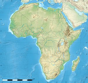
Bni Drar or Ait Idrār (Berber: ⴰⵢⵜ ⵉⴷⵔⴰⵔ, which means Children of the mountains) is a municipality in the Oujda-Angad prefecture in Bni Iznasen region in the Oriental Region of Morocco. In the country's 2004 census, Bni Drar's population was recorded as 8,919, making it the second largest settlement in the prefecture after the city of Oujda.[1] In 1994 its population was 6663 and it is estimated in 2012 that its population is 11,083.[2]
Bni Drar
ⴰⵢⵜ ⵉⴷⵔⴰⵔ Ait Idrār | |
|---|---|
Municipality | |
| Coordinates: 34°51′28″N 1°59′34″W | |
| Country | |
| Region | Oriental |
| Prefecture | Oujda-Angad |
| Elevation | 475 m (1,558 ft) |
| Population (2004) | |
| • Total | 8,919 |
| Time zone | UTC+0 (WET) |
| • Summer (DST) | UTC+1 (WEST) |
It lies on the N2 highway 20 km to the northwest of the regional capital, Oujda, and 17 km southeast of Ahfir. It is near the closed border with Algeria.
The town has a school and a lycée, a market, a hospital, a woman's club and a cemetery.[3]
References
- Maaroufi, Youssef. "Recensement général de la population et de l'habitat 2004".
- "gazetteer.de". gazetteer.de.
- "Google Maps". Google Maps.
External links
Текст в блоке "Читать" взят с сайта "Википедия" и доступен по лицензии Creative Commons Attribution-ShareAlike; в отдельных случаях могут действовать дополнительные условия.
Другой контент может иметь иную лицензию. Перед использованием материалов сайта WikiSort.org внимательно изучите правила лицензирования конкретных элементов наполнения сайта.
Другой контент может иметь иную лицензию. Перед использованием материалов сайта WikiSort.org внимательно изучите правила лицензирования конкретных элементов наполнения сайта.
2019-2025
WikiSort.org - проект по пересортировке и дополнению контента Википедии
WikiSort.org - проект по пересортировке и дополнению контента Википедии


