world.wikisort.org - Italy
Barbata (Bergamasque: Barbàda) is a comune (municipality) in the Province of Bergamo in the Italian region of Lombardy, located about 50 kilometres (31 mi) east of Milan and about 25 kilometres (16 mi) southeast of Bergamo.
Barbata | |
|---|---|
Comune | |
| Comune di Barbata | |
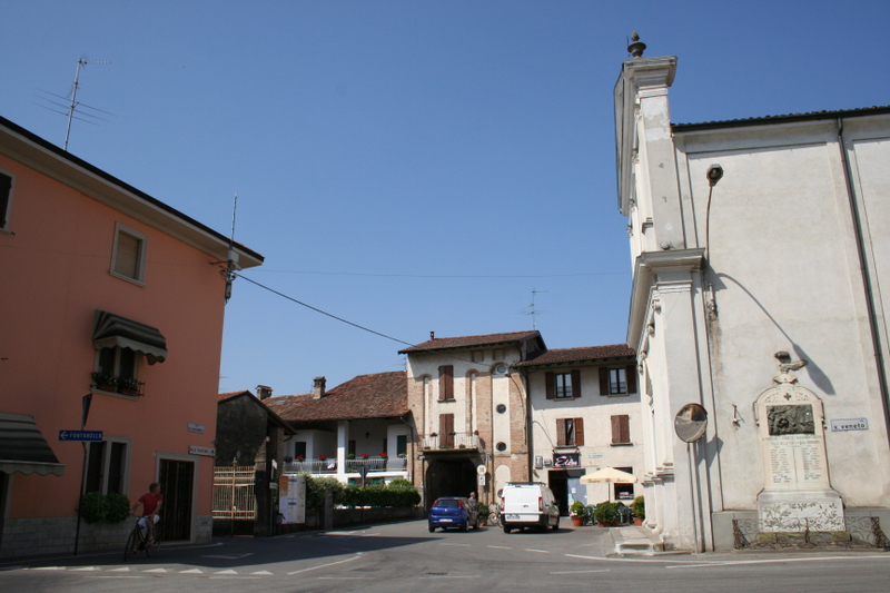 Municipal square | |
 Coat of arms | |
Location of Barbata  | |
 Barbata Location of Barbata in Italy  Barbata Barbata (Lombardy) | |
| Coordinates: 45°28′N 9°46′E | |
| Country | Italy |
| Region | Lombardy |
| Province | Bergamo (BG) |
| Government | |
| • Mayor | Vincenzo Trapattoni |
| Area | |
| • Total | 7.98 km2 (3.08 sq mi) |
| Elevation | 105 m (344 ft) |
| Population (30 April 2017)[2] | |
| • Total | 703 |
| • Density | 88/km2 (230/sq mi) |
| Demonym(s) | Barbatesi |
| Time zone | UTC+1 (CET) |
| • Summer (DST) | UTC+2 (CEST) |
| Postal code | 24040 |
| Dialing code | 0363 |
| Website | Official website |
Barbata borders the following municipalities: Antegnate, Camisano, Casaletto di Sopra, Covo, Fontanella, Isso.
References
- "Superficie di Comuni Province e Regioni italiane al 9 ottobre 2011". Italian National Institute of Statistics. Retrieved 16 March 2019.
- All demographics and other statistics: Italian statistical institute Istat.
This article on a location in the Province of Bergamo is a stub. You can help Wikipedia by expanding it. |
На других языках
- [en] Barbata
[es] Barbata
Barbata es una localidad y comune italiana de la provincia de Bérgamo, región de Lombardía, con 682 habitantes.[ru] Барбата
Барбата (итал. Barbata) — коммуна в провинции Бергамо в регионе Ломбардия в Италии. Расположена примерно в 50 км к востоку от Милана и примерно в 25 км к юго-востоку от Бергамо. По состоянию на 31 декабря 2004 года, проживало 628 человек, площадь 8,0 км². Барбата граничит с коммунами: Антегнате, Камизано, Ково, Иссо, Фонтанелла и Касалетто ди Сопра.Текст в блоке "Читать" взят с сайта "Википедия" и доступен по лицензии Creative Commons Attribution-ShareAlike; в отдельных случаях могут действовать дополнительные условия.
Другой контент может иметь иную лицензию. Перед использованием материалов сайта WikiSort.org внимательно изучите правила лицензирования конкретных элементов наполнения сайта.
Другой контент может иметь иную лицензию. Перед использованием материалов сайта WikiSort.org внимательно изучите правила лицензирования конкретных элементов наполнения сайта.
2019-2026
WikiSort.org - проект по пересортировке и дополнению контента Википедии
WikiSort.org - проект по пересортировке и дополнению контента Википедии