world.wikisort.org - Italy
Osio Sotto (Bergamasque: Öss de Sóta) is a comune (municipality) in the Province of Bergamo in the Italian region of Lombardy, located about 40 kilometres (25 mi) northeast of Milan and about 11 kilometres (7 mi) southwest of Bergamo. As of 31 December 2004, it had a population of 11,097 and an area of 7.5 square kilometres (2.9 sq mi).[3]
Osio Sotto | |
|---|---|
Comune | |
| Comune di Osio Sotto | |
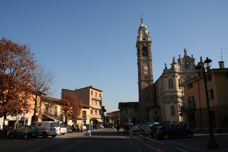 Pope John XXIII Square | |
Location of Osio Sotto  | |
 Osio Sotto Location of Osio Sotto in Italy  Osio Sotto Osio Sotto (Lombardy) | |
| Coordinates: 45°37′N 9°36′E | |
| Country | Italy |
| Region | Lombardy |
| Province | Province of Bergamo (BG) |
| Frazioni | Zingonia |
| Government | |
| • Mayor | Corrado Quarti (Lista civica) |
| Area | |
| • Total | 7.5 km2 (2.9 sq mi) |
| Elevation | 182 m (597 ft) |
| Population (Dec. 2019)[2] | |
| • Total | 12,600 |
| • Density | 1,700/km2 (4,400/sq mi) |
| Demonym(s) | Osiensi |
| Time zone | UTC+1 (CET) |
| • Summer (DST) | UTC+2 (CEST) |
| Postal code | 24046 |
| Dialing code | 035 |
| Patron saint | San Zenone, San Donato |
| Saint day | 7 August |
| Website | http://www.comune.osiosotto.bg.it/ |
Founded in Roman times,[4] the comune is currently the tenth municipality in the province of Bergamo by population, and the fourth of the southern Bergamo region.
Osio Sotto borders the following municipalities: Boltiere, Brembate, Filago, Levate, Osio Sopra, Verdellino.
Population history

References
- "Superficie di Comuni Province e Regioni italiane al 9 ottobre 2011". Italian National Institute of Statistics. Retrieved 16 March 2019.
- "Popolazione Residente al 1° Gennaio 2018". Italian National Institute of Statistics. Retrieved 16 March 2019.
- All demographics and other statistics: Italian statistical institute Istat.
- comune website
| Authority control |
|
|---|
This article on a location in the Province of Bergamo is a stub. You can help Wikipedia by expanding it. |
На других языках
[de] Osio Sotto
Osio Sotto ist eine italienische Gemeinde (comune) mit 12.655 Einwohnern (Stand 31. Dezember 2019) in der Provinz Bergamo, Region Lombardei.- [en] Osio Sotto
[ru] Озио-Сотто
Озио-Сотто (итал. Osio Sotto) — город в Италии, располагается в регионе Ломбардия, подчиняется административному центру Бергамо.Текст в блоке "Читать" взят с сайта "Википедия" и доступен по лицензии Creative Commons Attribution-ShareAlike; в отдельных случаях могут действовать дополнительные условия.
Другой контент может иметь иную лицензию. Перед использованием материалов сайта WikiSort.org внимательно изучите правила лицензирования конкретных элементов наполнения сайта.
Другой контент может иметь иную лицензию. Перед использованием материалов сайта WikiSort.org внимательно изучите правила лицензирования конкретных элементов наполнения сайта.
2019-2026
WikiSort.org - проект по пересортировке и дополнению контента Википедии
WikiSort.org - проект по пересортировке и дополнению контента Википедии