world.wikisort.org - Ireland
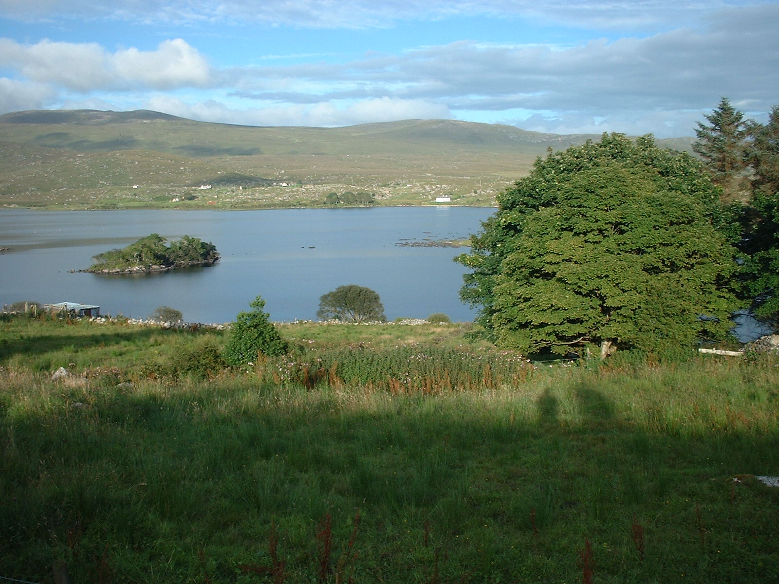
Loch an Iúir (pronounced [ˌl̪ˠɔx ənʲ ˈuːɾʲ]; Irish for 'lake of the yew'), anglicised as Loughanure,[2][3] is a village and townland in the north-west of County Donegal, Ireland. It is halfway between Gweedore and Dungloe, on the N56 road, in the Gaeltacht area of the Rosses. According to the 2016 census 37% of the population spoke Irish on a daily basis outside the education system.[4]
This article needs additional citations for verification. (June 2009) |
This article possibly contains original research. (December 2016) |
Loch an Iúir
Loughanure | |
|---|---|
Village | |
 | |
 Loch an Iúir Location in Ireland | |
| Coordinates: 55°00′04″N 8°16′12″W | |
| Country | Ireland |
| Province | Ulster |
| County | County Donegal |
| Population (2016)[1] | |
| • Urban | 313 |
| Time zone | UTC+0 (WET) |
| • Summer (DST) | UTC-1 (IST (WEST)) |
| Irish Grid Reference | B810169 |
Notable people
- Niall Ó Dónaill, (1908–1995) Irish-language lexicographer. His Dictionary 'Foclóir Gaeilge/Béarla' (1977) is consulted by language students worldwide as the bible of the native tongue. Other books by the same writer: 'Bruighean Feille' and 'Na Glúnta Rosannacha' (1952) a history of the Rosses from the Dark Ages. Ó Dónaill was born in 'Barr na hAilte' Loch an Iúir in 1908 and died in 1995. He is revered with pride in his native Donegal.[citation needed]
See also
- List of populated places in Ireland
References
- "Census 2016 Sapmap Area: Settlements Loch An Iúir". Central Statistics Office (Ireland). Retrieved 5 June 2018.
- Loch an Iuir, Irish Placenames Database. Retrieved: 2010-08-17.
- Ionstraimí Reachtúla Uimhir 872 de 2004, An Coimisinéir Teanga (commissioner.ie). Retrieved: 2010-08-17.
- "Irish Language and the Gaeltacht - CSO - Central Statistics Office". www.cso.ie. Retrieved 15 November 2020.
External links
Places in County Donegal | ||
|---|---|---|
County town: Lifford | ||
| Towns |  | |
| Villages |
| |
| Townlands | ||
| Islands | ||
| Other regions | ||
| ||
На других языках
- [en] Loch an Iúir
[ru] Лох-ань-Юр
Лох-ань-Юр[2] (англ. Loch an Iúir , также Loughanure; ирл. Loch an Iúir) — деревня в Ирландии, находится в графстве Донегол (провинция Ольстер).Текст в блоке "Читать" взят с сайта "Википедия" и доступен по лицензии Creative Commons Attribution-ShareAlike; в отдельных случаях могут действовать дополнительные условия.
Другой контент может иметь иную лицензию. Перед использованием материалов сайта WikiSort.org внимательно изучите правила лицензирования конкретных элементов наполнения сайта.
Другой контент может иметь иную лицензию. Перед использованием материалов сайта WikiSort.org внимательно изучите правила лицензирования конкретных элементов наполнения сайта.
2019-2026
WikiSort.org - проект по пересортировке и дополнению контента Википедии
WikiSort.org - проект по пересортировке и дополнению контента Википедии