world.wikisort.org - India
Namsai district is an administrative district in the state of Arunachal Pradesh in north-east India.It was carved out of Lohit district in November 2014.[2]
Namsai district | |
|---|---|
District of Arunachal Pradesh | |
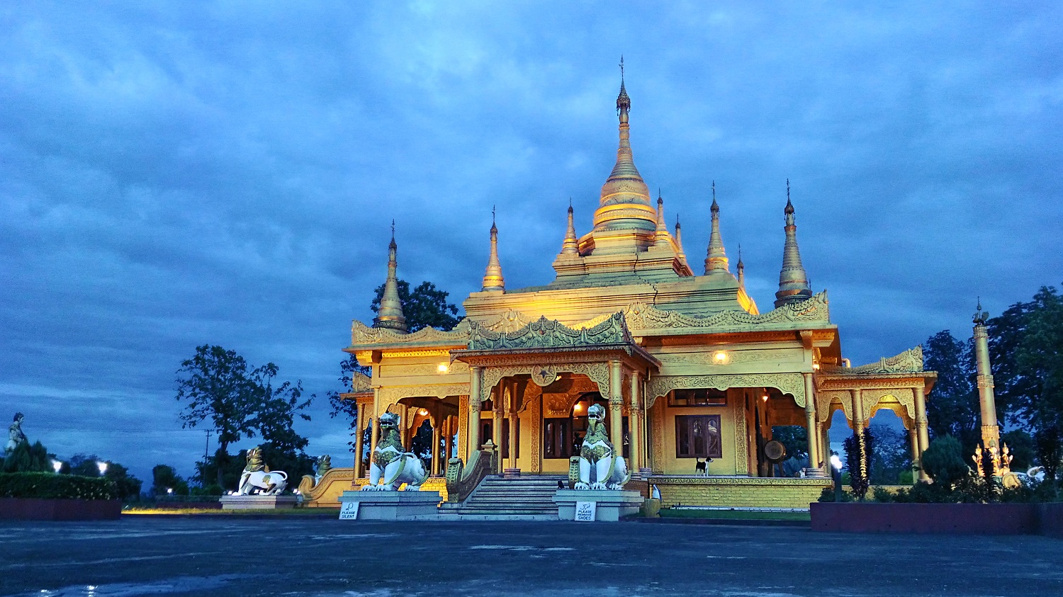 Golden pagoda in Namsai | |
 Namsai district Location in Arunachal Pradesh | |
| Coordinates (Namsai, India|Namsai): 27.6689°N 95.8714°E | |
| Country | India |
| State | Arunachal Pradesh |
| Established | 25 November 2014 |
| Headquarters | Namsai |
| Government | |
| • Lok Sabha constituencies | Arunachal East |
| • Vidhan Sabha constituencies |
|
| Area | |
| • Total | 1,587 km2 (613 sq mi) |
| Population (2011)[1] | |
| • Total | 95,950 |
| • Density | 60/km2 (160/sq mi) |
| Demographics | |
| • Literacy | 54.24%[1] |
| • Sex ratio | 984.49[1] |
| Time zone | UTC+05:30 (IST) |
| Average annual precipitation | 3500-4000[1] mm |
| Website | namsai |
History
The creation of Namsai district was approved by the Arunachal Pradesh government of Nabam Tuki on 21 March 2013.[3]
On 25 November 2014, the Namsai subdivision of Lohit district was declared to be a new district of Arunachal Pradesh, the 18th district of the state.[2]
Demographics
Religion
Religion in Namsai (2011)[4]
Hinduism (63.17%)
Buddhism (22.05%)
Christianity (7.06%)
Islam (1.91%)
Others (5.81%)
References
- "Namsai at a Glance". Retrieved 26 December 2018.
- "Namsai became the 18th district of Arunachal Pradesh in November 2014". India Today. 18 December 2014. Retrieved 26 October 2015.
- "Arunachal clears bill for four new districts". The Times of India. 22 March 2013.
- "Population by religion community – 2011". Census of India, 2011. The Registrar General & Census Commissioner, India. Archived from the original on 25 August 2015.
External links
Places adjacent to Namsai district | ||||||||||||||||
|---|---|---|---|---|---|---|---|---|---|---|---|---|---|---|---|---|
| ||||||||||||||||
Capital: Itanagar | |
| State symbols |
|
| Topics |
|
| Administration |
|
| Divisions |
|
| Districts |
|
| Major Towns |
|
| Historical Places |
|
Portal: India | |
Текст в блоке "Читать" взят с сайта "Википедия" и доступен по лицензии Creative Commons Attribution-ShareAlike; в отдельных случаях могут действовать дополнительные условия.
Другой контент может иметь иную лицензию. Перед использованием материалов сайта WikiSort.org внимательно изучите правила лицензирования конкретных элементов наполнения сайта.
Другой контент может иметь иную лицензию. Перед использованием материалов сайта WikiSort.org внимательно изучите правила лицензирования конкретных элементов наполнения сайта.
2019-2026
WikiSort.org - проект по пересортировке и дополнению контента Википедии
WikiSort.org - проект по пересортировке и дополнению контента Википедии