world.wikisort.org - India
Kishanganj is a city and district headquarters of Kishanganj district in Purnia division of Bihar state.
Kishanganj | |
|---|---|
Town | |
 Kishanganj Station | |
 Kishanganj Location in Bihar, India  Kishanganj Kishanganj (India) | |
| Coordinates: 26°04′46″N 87°56′14″E | |
| Country | |
| State | Bihar |
| Region | Mithila |
| District | Kishanganj |
| Population (2021) | |
| • Total | 105,782 |
| Time zone | UTC+5:30 (IST) |
| PIN | |
| Vehicle registration | BR-37 |
| Literacy | 74.71% |
| Website | https://kishanganj.nic.in/ |
History
Kishanganj, which was previously part of Purnia district, is part of the Mithila region.[4]
Mithila first gained prominence after being settled by Indo-Aryan peoples who established the Mithila Kingdom (also called Kingdom of the Videhas).[5] During the late Vedic period (c. 1100–500 BCE), the kingdom of the Videhas became one of the major political and cultural centres of South Asia, along with Kuru and Pañcāla. The rulers of Videhas were called Janakas.[5]
The Mithila Kingdom was later incorporated into the Vajjika League, which had its capital in the city of Vaishali, which is also in Mithila.[6]
Demographics
As of the 2011 Census of India,[7] Kishanganj has a population of 105,782 of which male and female are 55,143 and 50,639 respectively.[7][8] Literacy rate of Kishanganj city is 73.46% higher than the state average of 61.80%. In Kishanganj, Male literacy is around 78.37% while the female literacy rate is 68.08%.[7][9] In Kishanganj, Total children (0-6) in Kishanganj city are 16,884 as per figure from Census India report on 2011. There were 8,636 boys while 8,248 are girls. The children form 15.96% of the total population of Kishanganj City. It is one of the few districts where the population of Muslims are in majority.[7]
Despite being a Muslim majority district Kishanganj town is dominated by Hindus, Hindus constitute 55.48% of the total population in the town, while there is also a significant Muslim minority constituting 42.62% of the total population.
Agriculture
Agricultural produce from the district includes rice, wheat, arhar, masoor and jute. It is only one of the districts in Bihar to produce tea.[10]
Transport
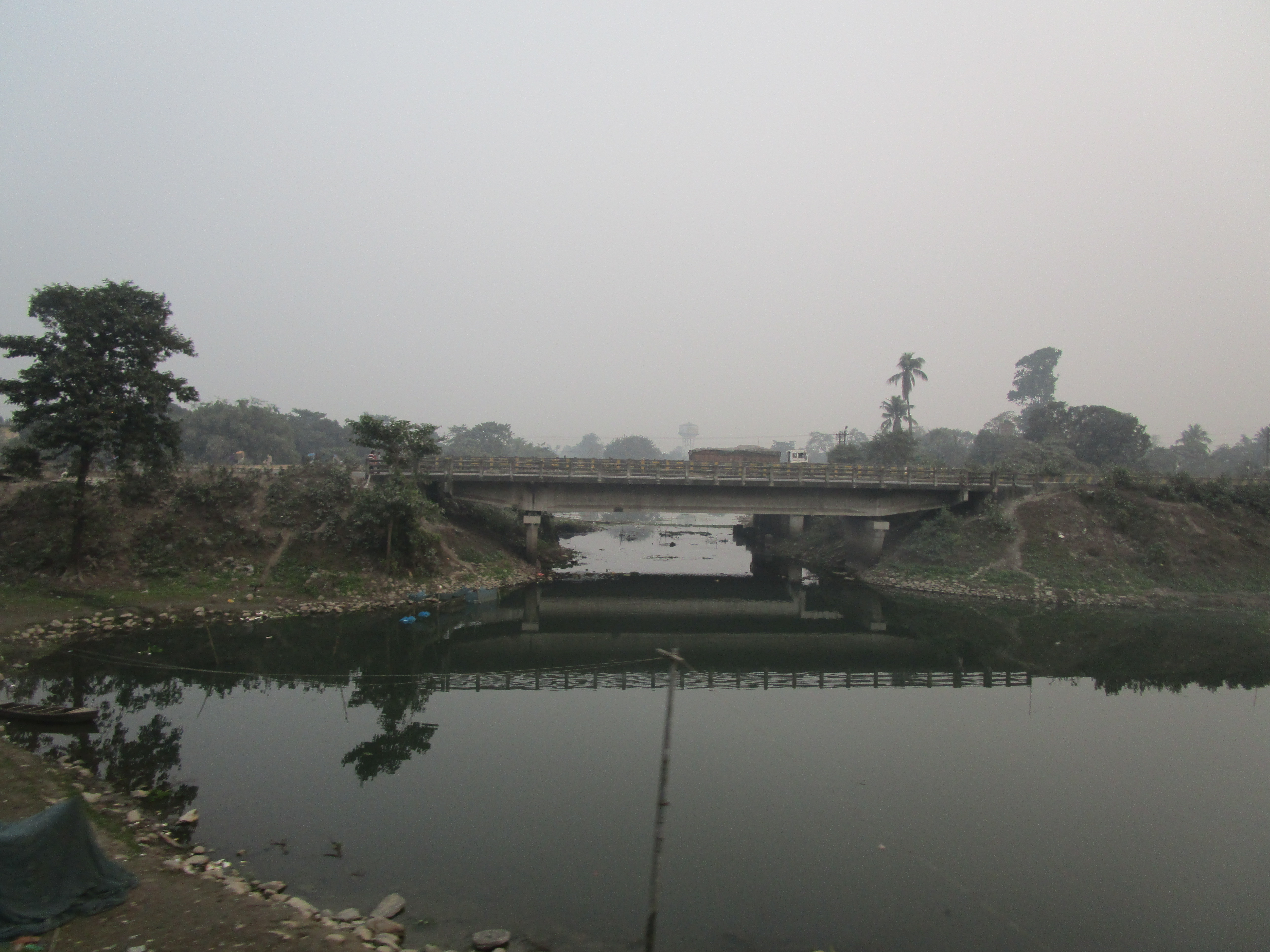
According to the statistics, Kishanganj has a major railhead which is connected to major cities and towns of India. Kishanganj railway station comes under Northeast Frontier Railway (NFR) and is 'A' category station of Indian Railways. The railway station and NH 27 connect northeastern regions of India to the rest of the country. It has direct train connections to major cities namely- New Delhi, Mumbai, Patna, Kolkata, Guwahati, Bangalore, Chennai, Thiruvananthapuram, etc. Garib Nawaz express starts from here for Ajmer. Rajdhani Express which runs between Delhi and Dibrugarh has its stoppage in Kishanganj. The NH 31 runs along with the railway line. [citation needed]
It is also connected with Bagdogra Airport in Bagdogra which is about 60 km (37 mi) from Kishanganj.
Business
- List of businesses in Kishanganj
Climate
| Climate data for Kishanganj, Bihar | |||||||||||||
|---|---|---|---|---|---|---|---|---|---|---|---|---|---|
| Month | Jan | Feb | Mar | Apr | May | Jun | Jul | Aug | Sep | Oct | Nov | Dec | Year |
| Average high °C (°F) | 24.0 (75.2) |
26.6 (79.9) |
31.9 (89.4) |
34.7 (94.5) |
33.7 (92.7) |
32.5 (90.5) |
31.9 (89.4) |
31.9 (89.4) |
31.8 (89.2) |
31.1 (88.0) |
29.0 (84.2) |
25.3 (77.5) |
30.4 (86.7) |
| Average low °C (°F) | 9.8 (49.6) |
11.6 (52.9) |
15.9 (60.6) |
20.6 (69.1) |
23.6 (74.5) |
25.2 (77.4) |
25.7 (78.3) |
25.4 (77.7) |
24.8 (76.6) |
21.8 (71.2) |
15.2 (59.4) |
10.7 (51.3) |
19.2 (66.6) |
| Average rainfall mm (inches) | 13 (0.5) |
15 (0.6) |
23 (0.9) |
69 (2.7) |
227 (8.9) |
393 (15.5) |
416 (16.4) |
371 (14.6) |
313 (12.3) |
109 (4.3) |
6 (0.2) |
6 (0.2) |
1,961 (77.1) |
| Average rainy days | 2 | 2 | 3 | 8 | 15 | 20 | 21 | 20 | 18 | 8 | 1 | 1 | 119 |
| Average relative humidity (%) | 67 | 59 | 45 | 55 | 75 | 85 | 87 | 86 | 86 | 80 | 66 | 65 | 71 |
| Source: en.climate-data.org | |||||||||||||
See also
- List of cities in Bihar
References
- "PIN Code of Kishanganj Post office Kishanganj in Bihar". CityPincode.in. IFSC Finder. Retrieved 10 April 2022.
- "PIN Code of Kishanganj Bazar Post office Kishanganj in Bihar". CityPincode.in. IFSC Finder. Retrieved 10 April 2022.
- Kishanganj
- Thakur, Minni (22 July 2018). Women Empowerment Through Panchayati Raj Institutions. Concept Publishing Company. ISBN 9788180696800 – via Google Books.
- Witzel, Michael (1989). Caillat, C. (ed.). Tracing the Vedic dialects in Dialectes Dans Les litteratures Indo-Aryennes. Paris: Fondation Hugot. pp. 13, 17 116–124, 141–143.
- Hemchandra, R. (1972). Political History of Ancient India. Calcutta: University of Calcutta.
- "Census of India: Search Details". censusindia.gov.in. Retrieved 9 June 2019.
- "District Informatics Center, Kishanganj, Bihar". Archived from the original on 30 March 2018. Retrieved 17 September 2014.
- "Welcome to Kishanganj District". Archived from the original on 9 March 2016. Retrieved 14 March 2016.
- "Unknown" (PDF). Retrieved 11 April 2022.
На других языках
[de] Kishanganj
Kishanganj ist eine Stadt im indischen Bundesstaat Bihar.- [en] Kishanganj
[ru] Кишангандж
Кишангандж (англ. Kishanganj, хинди किशनगंज) — город в северо-восточной части штата Бихар, Индия. Административный центр округа Кишангандж.Другой контент может иметь иную лицензию. Перед использованием материалов сайта WikiSort.org внимательно изучите правила лицензирования конкретных элементов наполнения сайта.
WikiSort.org - проект по пересортировке и дополнению контента Википедии