world.wikisort.org - India
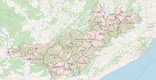
Alluri Sitharama Raju district, also known as Alluri district[3] and by its initials as ASR district,[4] is a district in the Indian state of Andhra Pradesh. The headquarters of the district is located at Paderu. Named after Alluri Sitarama Raju, a revolutionary in the Indian independence movement who hailed from the region, the district was effective since 4 April 2022 and became one of the twenty-six districts in the state.
Alluri Sitharama Raju district
Alluri district [1] | |
|---|---|
District of Andhra Pradesh | |
     Top: Eastern Ghats at Lambasingi, Borra Caves, Chintapalle Falls, Godavari at Papikonda National Park, Coffee plantations at Araku Valley | |
 | |
| Coordinates: 18.08°N 82.67°E | |
| Country | |
| State | |
| Region | Uttarandhra |
| Formed | 4 April 2022 |
| Founded by | Government of Andhra Pradesh |
| Named for | Alluri Sitarama Raju |
| Headquarters | Paderu |
| Government | |
| • District collector | Sri Sumit Kumar IAS Collector & District Magistrate |
| • Lok Sabha constituencies | Araku |
| • Assembly constituencies | 03 |
| Area | |
| • Total | 12,251 km2 (4,730 sq mi) |
| Population (2011)[2] | |
| • Total | 953,960 |
| • Density | 78/km2 (200/sq mi) |
| Time zone | UTC+05:30 (IST) |
| Website | allurisitharamaraju |
History
In July 2019, on the occasion of Alluri Sitarama Raju's 122nd birth anniversary, state Tourism Minister Avanthi Srinivasa Rao said a newly formed district would be named after Alluri Sitarama Raju.[5]
The district was proposed on 26 January 2022 by the Y. S. Jagan Mohan Reddy's government as part of a reorganisation of all the existing 13 districts in the state to form 26 districts in total. Final notification was issued by the Government of Andhra Pradesh on 3 April 2022 and the district was effective from 4 April 2022. The administrative headquarters of the district is located at Paderu. It would be formed from Paderu revenue division of Visakhapatnam district and Rampachodavaram revenue division of East Godavari district.[6][7]
Etymology
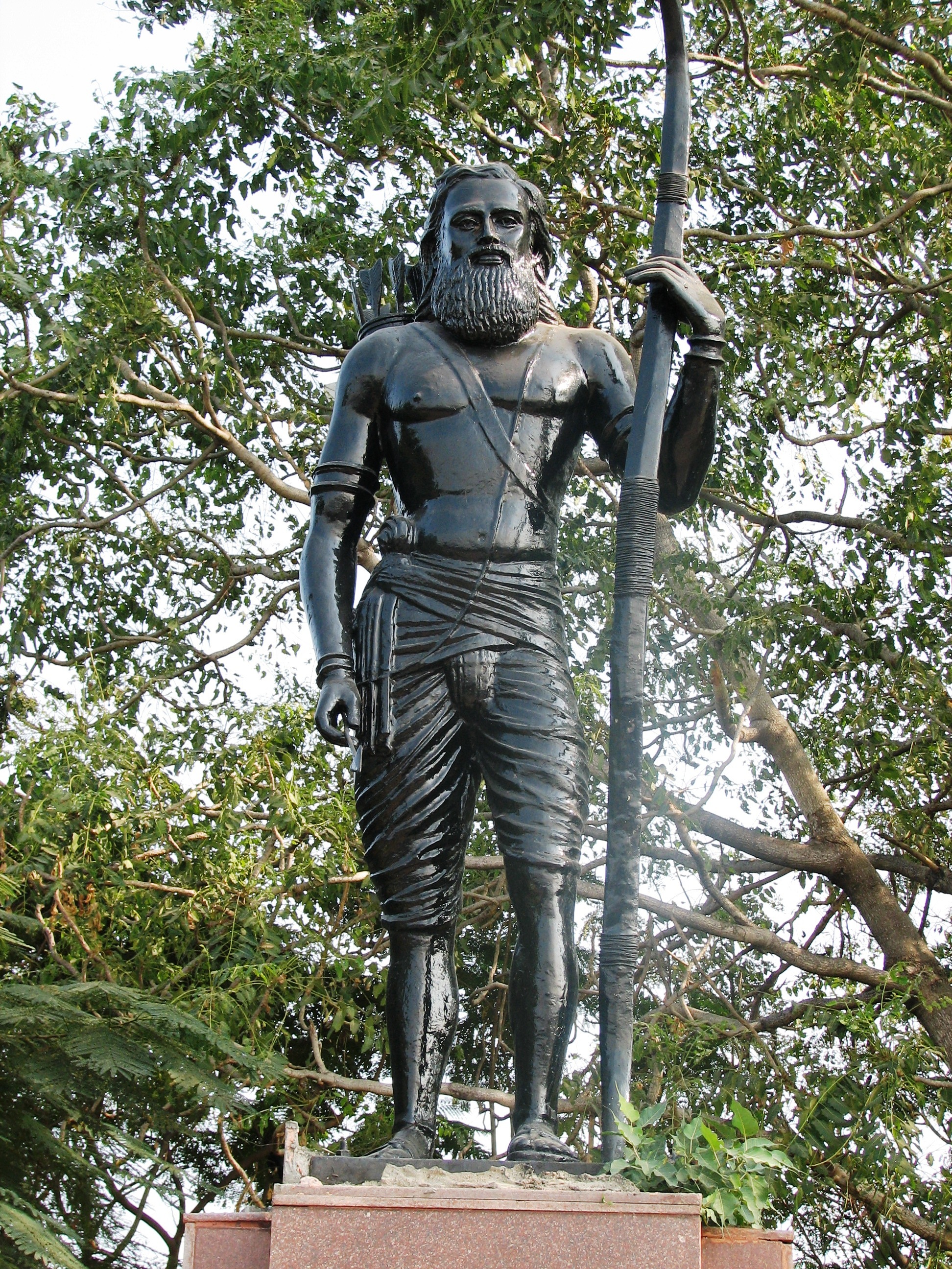
This district is named after Alluri Sitarama Raju, a revolutionary in the Indian independence movement who came from the region.[citation needed]
Geography
This district borders with North of Malkangiri district and Koraput district of Odisha state,North West of Sukma district of Chhattisgarh state & Bhadradri Kothagudem district of Telangana state. And this district is surrounded by South of Kakinada district, South East of Anakapalli district, South West of Eluru district & East Godavari district.[citation needed]
Administrative divisions
The district has three revenue divisions, namely Paderu, Rampachodavaram and Chinturu, each headed by a Sub-Collector. These revenue divisions are divided into 22 mandals.[8][9]
Mandals
There are 11 mandals in Paderu, 7 mandals in Rampachodavaram and 4 mandals in Chinturu revenue divisions. The 22 mandals under their revenue divisions are listed below:
| # | Paderu Division | Rampachodavaram Division | Chinturu Division |
|---|---|---|---|
| 1 | Araku Valley | Rampachodavaram | Yetapaka |
| 2 | Peda Bayalu | Devipatnam | Chinturu |
| 3 | Dumbriguda | Y. Ramavaram | Kunavaram |
| 4 | Munchingi Puttu | Addateegala | Vararamachandrapuram |
| 5 | Hukumpeta | Gangavaram | |
| 6 | Ananthagiri | Maredumilli | |
| 7 | Paderu | Rajavommangi | |
| 8 | Gangaraju Madugula | ||
| 9 | Chinthapalli | ||
| 10 | Gudem Kotha Veedhi | ||
| 11 | Koyyuru |
Politics
There are one parliamentary and 3 assembly constituencies in Alluri Sitharama Raju district. The parliamentary constituencies are
- Araku (ST) (Lok Sabha constituency)
The assembly constituencies are[10]
| Constituency number | Name | Reserved for (SC/ST/None) |
Parliament |
|---|---|---|---|
| 28 | Araku Valley | ST | Araku (ST) (Lok Sabha constituency) |
| 29 | Paderu | ST | Araku (ST) (Lok Sabha constituency) |
| 53 | Rampachodavaram | ST | Araku (ST) (Lok Sabha constituency) |
Cities and towns
Largest cities or towns in Alluri Sitharama Raju District As per the 2011 Census | |||||||||
|---|---|---|---|---|---|---|---|---|---|
| Rank | Division | Pop. | |||||||
| 1 | Araku | Paderu Division | 56,674 | ||||||
| 2 | Paderu | Paderu Division | 20,760 | ||||||
| 3 | Rampachodavaram | Rampachodavaram Division | 9,900 | ||||||
| 4 | [[{{{city_4}}}]] | [[{{{div_4}}}]] | {{{pop_4}}} | ||||||
| 5 | [[{{{city_5}}}]] | [[{{{div_5}}}]] | {{{pop_5}}} | ||||||
| 6 | [[{{{city_6}}}]] | [[{{{div_6}}}]] | {{{pop_6}}} | ||||||
| 7 | [[{{{city_7}}}]] | [[{{{div_7}}}]] | {{{pop_7}}} | ||||||
| 8 | [[{{{city_8}}}]] | [[{{{div_8}}}]] | {{{pop_8}}} | ||||||
| 9 | [[{{{city_9}}}]] | [[{{{div_9}}}]] | {{{pop_9}}} | ||||||
| 10 | [[{{{city_10}}}]] | [[{{{div_10}}}]] | {{{pop_10}}} | ||||||
Demographics
At the time of the 2011 census, the district had a population of 953,960. Scheduled Castes and Scheduled Tribes made up 2.49% and 82.67% of the population respectively. The tribals are a mix of peoples: Konda Dora, Khond, Konda Reddy, Konda Kapu, Koya, Parang Proja, Valmiki. Most of the population, over 80%, speaks distinct dialects of Telugu or Odia as their first language, with large minorities speaking Konda Dora, Kuvi and Koya.[2] The vast majority of people are Hindu.[11]
At the time of the 2011 census, 70.27% of the population spoke Telugu, 11.43% Odia, 7.63% Koya, 7.09% Kuvi and 2.02% Konda as their first language.[12]
References
- "Andhra Pradesh government may bifurcate newly-formed Alluri Sitarama Raju district".
- "Demography Sri Alluri Sitharamaraju District".
- "Andhra Pradesh government may bifurcate newly-formed Alluri Sitarama Raju district". The New Indian Express. Retrieved 9 July 2022.
- "Coastal Andhra Pradesh to witness intense heatwave during next three days; mercury may touch 47°C". The Hindu. 2 June 2022. ISSN 0971-751X. Retrieved 3 June 2022.
- "New district will be named after Alluri: Minister". The New Indian Express. 5 July 2019. Archived from the original on 28 October 2019. Retrieved 26 January 2022.
- Raghavendra, V. (26 January 2022). "With creation of 13 new districts, AP now has 26 districts". The Hindu. ISSN 0971-751X. Archived from the original on 26 January 2022. Retrieved 26 January 2022.
- "New districts to come into force on April 4". The Hindu. 30 March 2022. Retrieved 31 March 2022.
{{cite web}}: CS1 maint: url-status (link) - "కొత్త జిల్లా తాజా స్వరూపం". Eenadu.net (in Telugu). 31 March 2022. Retrieved 31 March 2022.
{{cite web}}: CS1 maint: url-status (link) - Jonathan, P. Samuel (7 September 2022). "Andhra Pradesh: Cabinet clears investment proposals worth ₹1.25 lakh crore". The Hindu. ISSN 0971-751X. Retrieved 13 September 2022.
- "District-wise Assembly-Constituencies". ceoandhra.nic.in.
- "Table C-01 Population by Religion: Andhra Pradesh". censusindia.gov.in. Registrar General and Census Commissioner of India. 2011.
- "Table C-16 Population by Mother Tongue: Andhra Pradesh". Census of India 2011. Registrar General and Census Commissioner of India.
Другой контент может иметь иную лицензию. Перед использованием материалов сайта WikiSort.org внимательно изучите правила лицензирования конкретных элементов наполнения сайта.
WikiSort.org - проект по пересортировке и дополнению контента Википедии