world.wikisort.org - India
Rampachodavaram is a census town in Alluri Sitharama Raju district of the Indian state of Andhra Pradesh. It is located in Rampachodavaram mandal of Rampachodavaram revenue division.[1] Rampachodavaram is known for its dense jungle and waterfalls which can be accessed by road transport only.
Rampachodavaram | |
|---|---|
Census Town | |
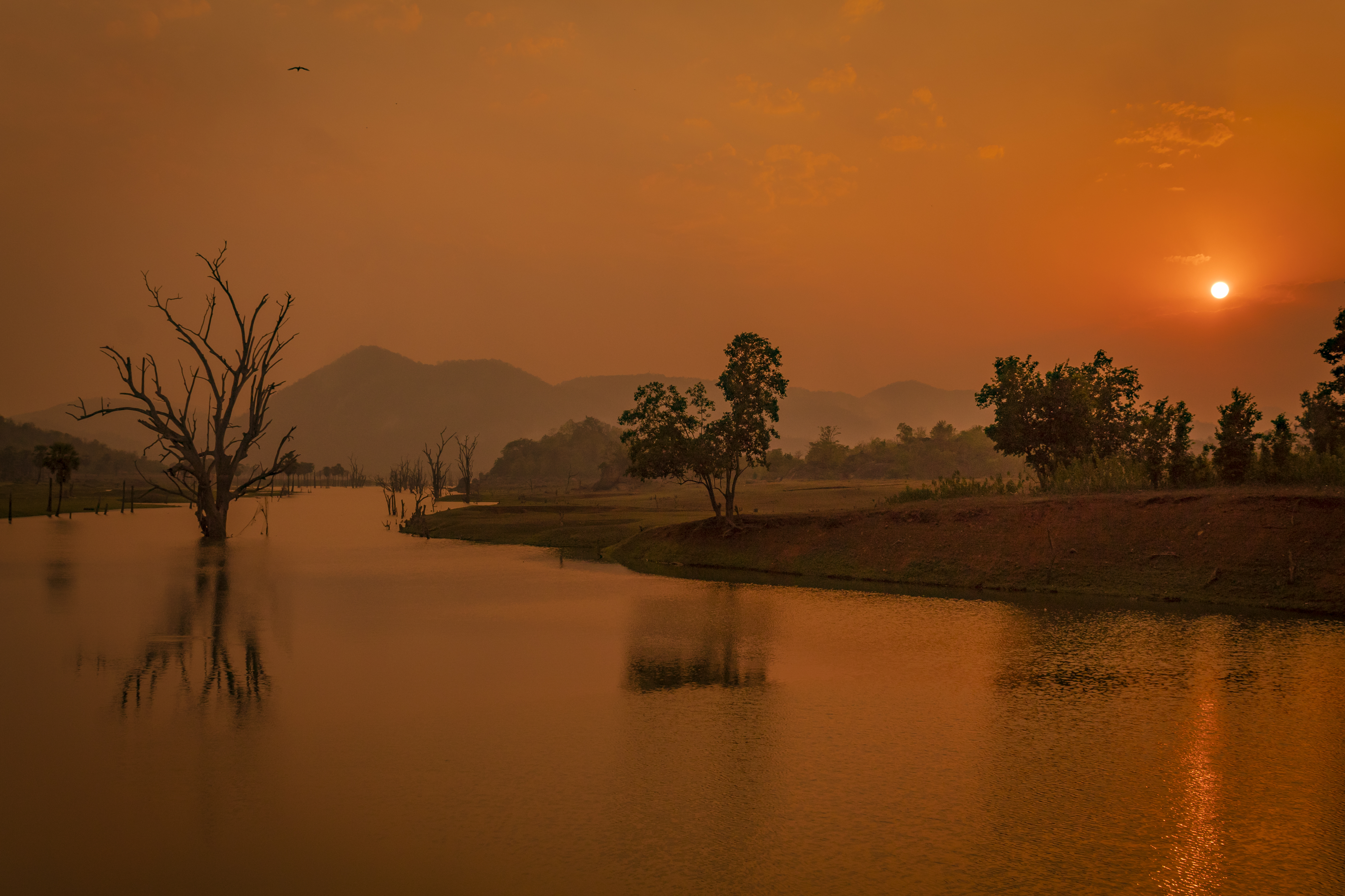 Bhupathipalem Reservoir, Rampachodavaram | |
 Rampachodavaram Location in Andhra Pradesh, India | |
| Coordinates: 17.4500°N 81.7667°E | |
| Country | India |
| State | Andhra Pradesh |
| District | Alluri Sitharama Raju |
| Government | |
| • MLA | Nagulapalli Dhanalakshmi |
| Area | |
| • Total | 4.99 km2 (1.93 sq mi) |
| Elevation | 162 m (531 ft) |
| Population (2011)[1] | |
| • Total | 9,952 |
| • Density | 2,000/km2 (5,200/sq mi) |
| Languages | |
| • Official | Telugu |
| Time zone | UTC+5:30 (IST) |
| Vehicle Registration | AP05 (Former) AP39 (from 30 January 2019)[2] |
Geography
Chodavaram is located at 17.4500°N 81.7667°E.[3] It has an average elevation of 162 metres (534 ft).
Demographics
As of 2011[update] Census of India, Rampachodavaram had a population of 9,952 with 2,485 households. The total population constitute, 5,242 males and 4,710 females —a sex ratio of 899 females per 1000 males. 943 children are in the age group of 0–6 years, of which 458 are boys and 485 are girls, —a ratio of 1059 per 1000. The average literacy rate stands at 84.50% with 7,613 literates, significantly higher than the state average of 67.41%.[1][4]
Transport
State run APSRTC runs bus services from Rajahmundry to Rampachodavarm.[5] It is 40km from Rajahmundry Airport
See also
- List of census towns in Andhra Pradesh
References
- "District Census Handbook - East Godavari" (PDF). Census of India. pp. 16–18, 54–55. Retrieved 18 January 2015.
- "New 'AP 39' code to register vehicles in Andhra Pradesh launched". The New Indian Express. Vijayawada. 31 January 2019. Retrieved 9 June 2019.
- Chodavaram at Fallingrain.com
- "Literacy of AP (Census 2011)" (PDF). Official Portal of Andhra Pradesh Government. p. 43. Retrieved 5 September 2014.
- "Tourist Services in East Godavari Region". Retrieved 20 May 2017.
This article about a location in Andhra Pradesh is a stub. You can help Wikipedia by expanding it. |
Другой контент может иметь иную лицензию. Перед использованием материалов сайта WikiSort.org внимательно изучите правила лицензирования конкретных элементов наполнения сайта.
WikiSort.org - проект по пересортировке и дополнению контента Википедии