world.wikisort.org - Germany
Todtnau is a town in the district of Lörrach in Baden-Württemberg, Germany. As of 2009 its population was of 4,932.
This article may be expanded with text translated from the corresponding article in German. (February 2009) Click [show] for important translation instructions.
|
Todtnau | |
|---|---|
Town | |
 2005 panoramic view | |
 Coat of arms | |
Location of Todtnau in Lörrach District 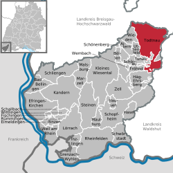 | |
 Todtnau  Todtnau | |
| Coordinates: 47°50′N 07°57′E | |
| Country | Germany |
| State | Baden-Württemberg |
| Admin. region | Freiburg |
| District | Lörrach |
| Government | |
| • Mayor (2015–23) | Andreas Wießner[1] |
| Area | |
| • Total | 69.60 km2 (26.87 sq mi) |
| Elevation | 659 m (2,162 ft) |
| Population (2020-12-31)[2] | |
| • Total | 4,823 |
| • Density | 69/km2 (180/sq mi) |
| Time zone | UTC+01:00 (CET) |
| • Summer (DST) | UTC+02:00 (CEST) |
| Postal codes | 79674 |
| Dialling codes | 07671 |
| Vehicle registration | LÖ |
| Website | Official website |
Geography
It is situated in the Black Forest, on the river Wiese, 20 km southeast of Freiburg.
The municipality counts 8 civil parishes (Ortsteil):
 Aftersteg
 Brandenberg
 Geschwend
 Herrenschwand
 Muggenbrunn
 Präg
Präg Schlechtnau
 Todtnauberg
Personalities
- Karl Nessler, inventor of the permanent wave was born here.
- Martin Heidegger had a chalet in Todtnauberg
Photogallery
 Todtnau waterfall
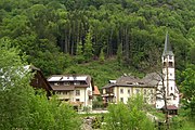 The church of Geschwend
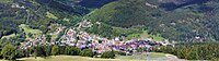 Panoramic view of Todtnau


 Todtnau, church: die Sankt Johannes der Täuferkirche
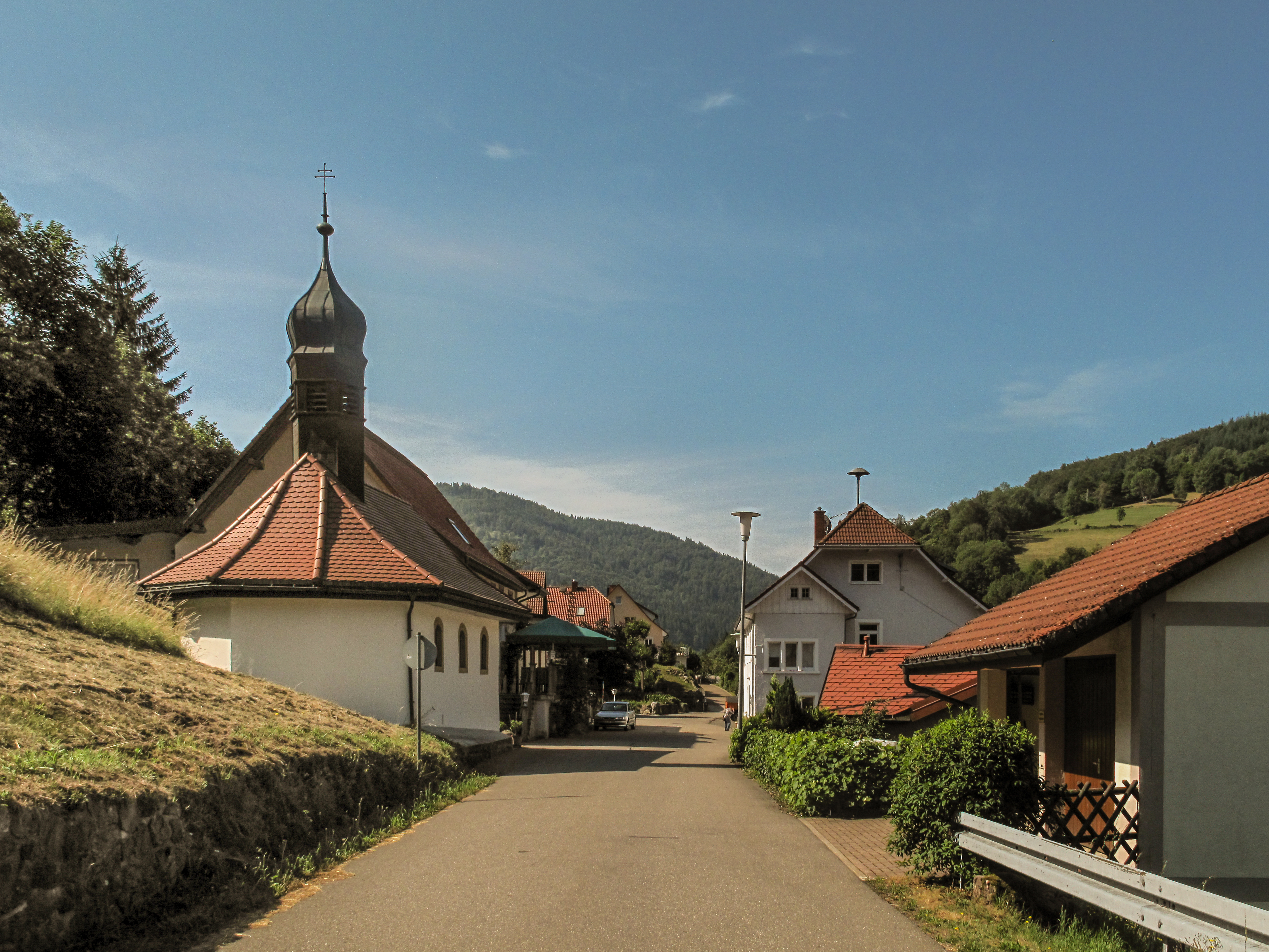
 Schlechtnau, chapel in the street
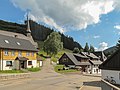 Muggenbrunn, church (die Sankt Cornelius Kirche) in the street
 Aftersteg, church: die Sankt Anna Kirche


References
- Aktuelle Wahlergebnisse, Staatsanzeiger, accessed 13 September 2021.
- "Bevölkerung nach Nationalität und Geschlecht am 31. Dezember 2020" [Population by nationality and sex as of December 31, 2020] (CSV). Statistisches Landesamt Baden-Württemberg (in German). June 2021. Retrieved 17 October 2021.
External links
![]() Media related to Todtnau at Wikimedia Commons
Media related to Todtnau at Wikimedia Commons
- (in German) www.todtnau.de Todtnau official website
- (in German) Information about and images
Towns and municipalities in Lörrach (district) | ||
|---|---|---|
|  | |
Important cities and tourist sites in | |||||||
|---|---|---|---|---|---|---|---|
| Major cities | |||||||
| Other tourist destinations | |||||||
| Landscapes |
| ||||||
| Neighbouring areas |
| ||||||
This Lörrach location article is a stub. You can help Wikipedia by expanding it. |
На других языках
- [en] Todtnau
[ru] Тодтнау
Тодтнау (нем. Todtnau) — город в Германии, в земле Баден-Вюртемберг.Текст в блоке "Читать" взят с сайта "Википедия" и доступен по лицензии Creative Commons Attribution-ShareAlike; в отдельных случаях могут действовать дополнительные условия.
Другой контент может иметь иную лицензию. Перед использованием материалов сайта WikiSort.org внимательно изучите правила лицензирования конкретных элементов наполнения сайта.
Другой контент может иметь иную лицензию. Перед использованием материалов сайта WikiSort.org внимательно изучите правила лицензирования конкретных элементов наполнения сайта.
2019-2026
WikiSort.org - проект по пересортировке и дополнению контента Википедии
WikiSort.org - проект по пересортировке и дополнению контента Википедии