world.wikisort.org - Germany
Hopsten is a municipality in the district of Steinfurt, in North Rhine-Westphalia, Germany. It is situated approximately 15 km northeast of Rheine and 25 km southeast of Lingen.
Hopsten | |
|---|---|
Municipality | |
 Historical center of the town | |
 Flag  Coat of arms | |
Location of Hopsten within Steinfurt district  | |
 Hopsten  Hopsten | |
| Coordinates: 52°22′50″N 7°36′00″E | |
| Country | Germany |
| State | North Rhine-Westphalia |
| Admin. region | Münster |
| District | Steinfurt |
| Subdivisions | 3 |
| Government | |
| • Mayor (2020–25) | Ludger Kleine-Harmeyer[1] (CDU) |
| Area | |
| • Total | 99.8 km2 (38.5 sq mi) |
| Elevation | 40 m (130 ft) |
| Population (2020-12-31)[2] | |
| • Total | 7,643 |
| • Density | 77/km2 (200/sq mi) |
| Time zone | UTC+01:00 (CET) |
| • Summer (DST) | UTC+02:00 (CEST) |
| Postal codes | 48496 |
| Dialling codes | 05458 |
| Vehicle registration | ST |
| Website | www.hopsten.de |
People
- Bernhard Otte (1883-1933), politician and trade union leader
- Franz-Josef Kemper (born 1945), athlete
Gallery
 Catholic Church
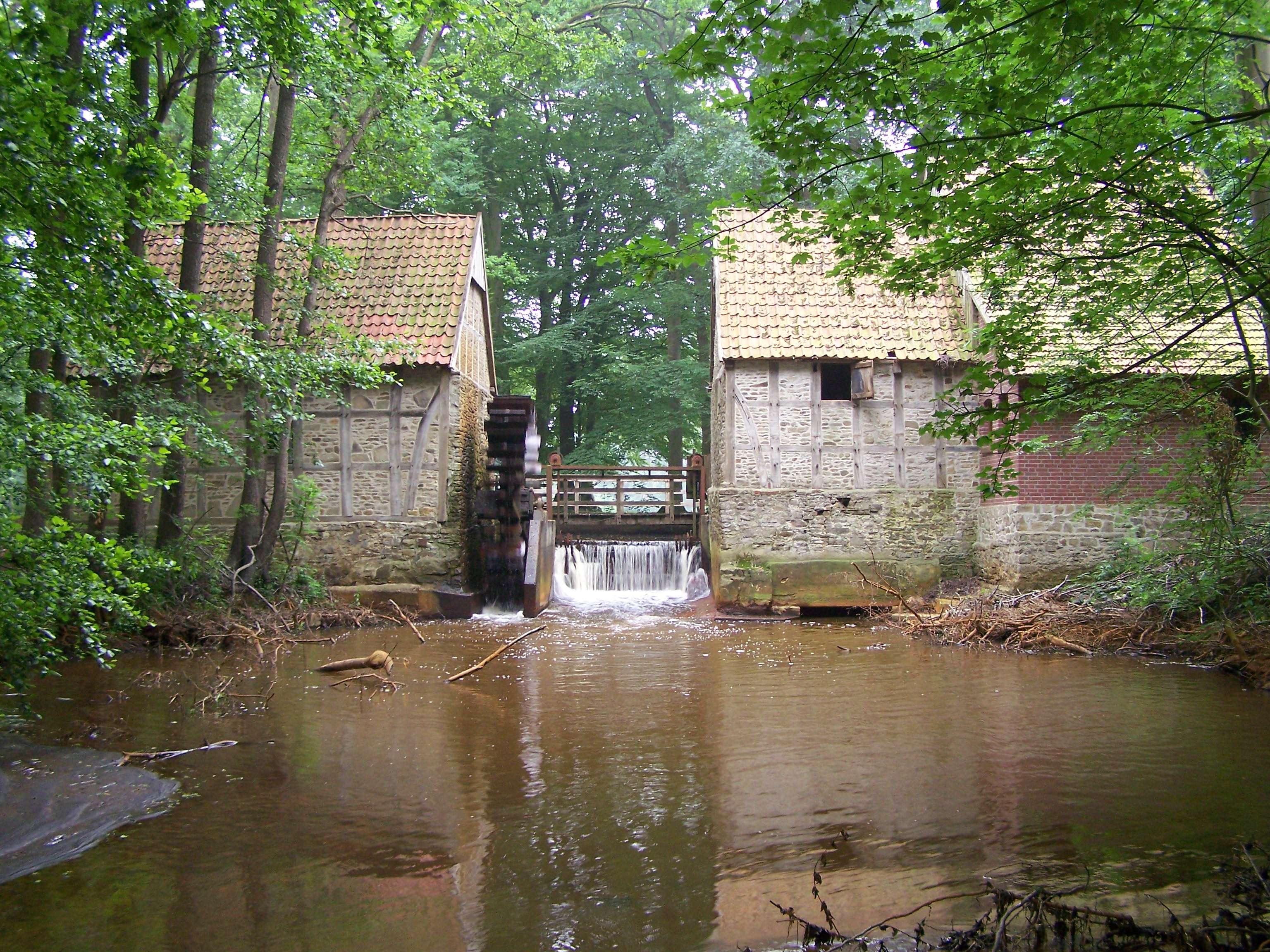
 Mill Halverde
 Haus Nieland
 Hof Holling on the Brennikmeyer Street


References
- Wahlergebnisse in NRW Kommunalwahlen 2020, Land Nordrhein-Westfalen, accessed 30 June 2021.
- "Bevölkerung der Gemeinden Nordrhein-Westfalens am 31. Dezember 2020" (in German). Landesbetrieb Information und Technik NRW. Retrieved 21 June 2021.
Wikimedia Commons has media related to Hopsten.
Towns and municipalities in Steinfurt (district) | ||
|---|---|---|
 | ||
This Steinfurt district location article is a stub. You can help Wikipedia by expanding it. |
На других языках
[de] Hopsten
Hopsten ist eine Gemeinde an der Nordspitze der westfälischen Region Tecklenburger Land (Kreis Steinfurt), durch dessen Lage es als Tor zu Westfalen bezeichnet wird. Die Gemeinde umfasst seit 1975 neben dem Töddendorf Hopsten die Ortsteile Schale und Halverde.- [en] Hopsten
[ru] Хопстен
Хопстен (нем. Hopsten) — коммуна в Германии, в земле Северный Рейн-Вестфалия.Текст в блоке "Читать" взят с сайта "Википедия" и доступен по лицензии Creative Commons Attribution-ShareAlike; в отдельных случаях могут действовать дополнительные условия.
Другой контент может иметь иную лицензию. Перед использованием материалов сайта WikiSort.org внимательно изучите правила лицензирования конкретных элементов наполнения сайта.
Другой контент может иметь иную лицензию. Перед использованием материалов сайта WikiSort.org внимательно изучите правила лицензирования конкретных элементов наполнения сайта.
2019-2026
WikiSort.org - проект по пересортировке и дополнению контента Википедии
WikiSort.org - проект по пересортировке и дополнению контента Википедии