world.wikisort.org - Germany
Guderhandviertel is a municipality in the district of Stade, Lower Saxony, Germany.
Guderhandviertel | |
|---|---|
Municipality | |
 Flag  Coat of arms | |
Location of Guderhandviertel within Stade district 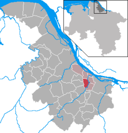 | |
 Guderhandviertel  Guderhandviertel | |
| Coordinates: 53°33′N 9°37′E | |
| Country | Germany |
| State | Lower Saxony |
| District | Stade |
| Municipal assoc. | Lühe |
| Government | |
| • Mayor | Hans Gosch (CDU) |
| Area | |
| • Total | 8.93 km2 (3.45 sq mi) |
| Highest elevation | 2 m (7 ft) |
| Lowest elevation | 0 m (0 ft) |
| Population (2020-12-31)[1] | |
| • Total | 1,066 |
| • Density | 120/km2 (310/sq mi) |
| Time zone | UTC+01:00 (CET) |
| • Summer (DST) | UTC+02:00 (CEST) |
| Postal codes | 21720 |
| Dialling codes | 04142, 04163 |
| Vehicle registration | STD |
| Website | www.luehe-online.de |
It belonged to the Prince-Archbishopric of Bremen. In 1648 the Prince-Archbishopric was transformed into the Duchy of Bremen, which was first ruled in personal union by the Swedish and from 1715 on by the Hanoverian Crown. In 1823 the Duchy was abolished and its territory became part of the Stade Region.
References
Towns and municipalities in Stade (district) | ||
|---|---|---|
|  | |
This Stade (district) location article is a stub. You can help Wikipedia by expanding it. |
На других языках
- [en] Guderhandviertel
[ru] Гудерхандфиртель
Гудерхандфиртель (нем. Guderhandviertel) — коммуна в Германии, в земле Нижняя Саксония.Текст в блоке "Читать" взят с сайта "Википедия" и доступен по лицензии Creative Commons Attribution-ShareAlike; в отдельных случаях могут действовать дополнительные условия.
Другой контент может иметь иную лицензию. Перед использованием материалов сайта WikiSort.org внимательно изучите правила лицензирования конкретных элементов наполнения сайта.
Другой контент может иметь иную лицензию. Перед использованием материалов сайта WikiSort.org внимательно изучите правила лицензирования конкретных элементов наполнения сайта.
2019-2026
WikiSort.org - проект по пересортировке и дополнению контента Википедии
WikiSort.org - проект по пересортировке и дополнению контента Википедии