world.wikisort.org - France
Le Morne-Vert is a village and commune in the French overseas department of Martinique.
Le Morne-Vert | |
|---|---|
Commune | |
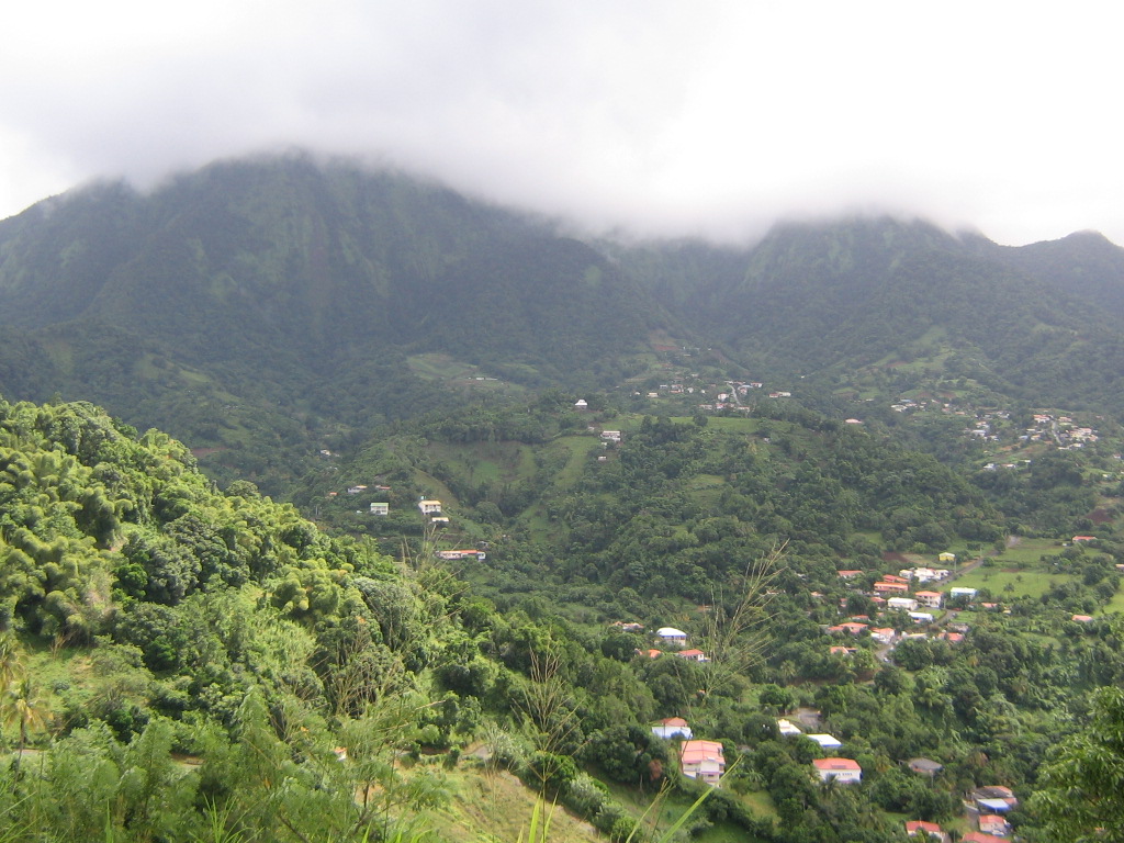 General view of Le Morne-Vert and the Pitons du Carbet | |
 Location of the commune (in red) within Martinique | |
Location of Le Morne-Vert  | |
| Coordinates: 14°42′25″N 61°08′40″W | |
| Country | France |
| Overseas region and department | Martinique |
| Arrondissement | Saint-Pierre |
| Intercommunality | CA Pays Nord Martinique |
| Government | |
| • Mayor (2021–2026) | Angèle Serbin[1] |
| Area 1 | 13.37 km2 (5.16 sq mi) |
| Population | 1,816 |
| • Density | 140/km2 (350/sq mi) |
| Time zone | UTC−04:00 (AST) |
| INSEE/Postal code | 97233 /97226 |
| 1 French Land Register data, which excludes lakes, ponds, glaciers > 1 km2 (0.386 sq mi or 247 acres) and river estuaries. | |
See also
References
- "Répertoire national des élus: les maires" (in French). data.gouv.fr, Plateforme ouverte des données publiques françaises. 4 May 2022.
- "Populations légales 2019". The National Institute of Statistics and Economic Studies. 29 December 2021.
External links
Wikimedia Commons has media related to Le Morne-Vert.
- Base Mérimée: Search for heritage in the commune, Ministère français de la Culture. (in French)
Authority control | |
|---|---|
| General | |
| National libraries | |
This Martinique location article is a stub. You can help Wikipedia by expanding it. |
На других языках
[de] Le Morne-Vert
Le Morne-Vert ist eine französische Gemeinde im Übersee-Département Martinique. Sie gehört zum Arrondissement Saint-Pierre. Die Bewohner nennen sich Morniverdais oder Verdimornais. Die Streusiedlung liegt am Fuß der Bergkette Pitons du Carbet in einem gebirgigen und bewaldeten Umfeld. Sie gehörte bis zu dessen Auflösung 2015 zum Kanton Le Carbet.- [en] Le Morne-Vert
Текст в блоке "Читать" взят с сайта "Википедия" и доступен по лицензии Creative Commons Attribution-ShareAlike; в отдельных случаях могут действовать дополнительные условия.
Другой контент может иметь иную лицензию. Перед использованием материалов сайта WikiSort.org внимательно изучите правила лицензирования конкретных элементов наполнения сайта.
Другой контент может иметь иную лицензию. Перед использованием материалов сайта WikiSort.org внимательно изучите правила лицензирования конкретных элементов наполнения сайта.
2019-2026
WikiSort.org - проект по пересортировке и дополнению контента Википедии
WikiSort.org - проект по пересортировке и дополнению контента Википедии