world.wikisort.org - France
Héricourt (French pronunciation: [eʁikuʁ]) is a commune in the Haute-Saône department in the region of Bourgogne-Franche-Comté in eastern France. Héricourt is the second most populated commune in the department after Vesoul. The town is part of the functional area of Montbéliard,[2] but is also close to Belfort.
Héricourt | |
|---|---|
Commune | |
    | |
 Coat of arms | |
Location of Héricourt  | |
 Héricourt  Héricourt | |
| Coordinates: 47°34′42″N 6°45′44″E | |
| Country | France |
| Region | Bourgogne-Franche-Comté |
| Department | Haute-Saône |
| Arrondissement | Lure |
| Canton | Héricourt-1 and 2 |
| Intercommunality | CC du pays d'Héricourt |
| Government | |
| • Mayor (2020–2026) | Fernand Burkhalter |
| Area 1 | 21.04 km2 (8.12 sq mi) |
| Population | 10,646 |
| • Density | 510/km2 (1,300/sq mi) |
| Time zone | UTC+01:00 (CET) |
| • Summer (DST) | UTC+02:00 (CEST) |
| INSEE/Postal code | 70285 /70400 |
| Elevation | 320–541 m (1,050–1,775 ft) |
| 1 French Land Register data, which excludes lakes, ponds, glaciers > 1 km2 (0.386 sq mi or 247 acres) and river estuaries. | |
Héricourt is linked to the little villages of Brévilliers, Chagey, Champey, Chenebier, Coisevaux, Couthenans, Echenans sous Mont-Vaudois, Etobon, Luze, Mandrevillars, Saulnot, Trémoins, Verlans, Villers-sur-Saulnot, Vyans-le-Val and they form the Communauté de communes du pays d'Héricourt. On 1 January 2019, the former commune Tavey was merged into Héricourt.[3]
Population
| Year | Pop. | ±% p.a. |
|---|---|---|
| 1968 | 8,237 | — |
| 1975 | 8,853 | +1.04% |
| 1982 | 10,374 | +2.29% |
| 1990 | 10,079 | −0.36% |
| 1999 | 10,463 | +0.42% |
| 2007 | 10,860 | +0.47% |
| 2012 | 10,669 | −0.35% |
| 2017 | 10,601 | −0.13% |
| Source: INSEE[4] | ||
Culture and Heritage
Monuments
- The "Grosse tour" is the only tower which remains, a vestige of the medieval castle. In the courtyard, one can still access the old well, and the storeroom has been converted into a receiving room.
- The Lutheran church of Saint-Christophe is quite important to the history of Héricourt because it shows the passing of the Wurtemberg's Dukes, just as in Montbéliard.
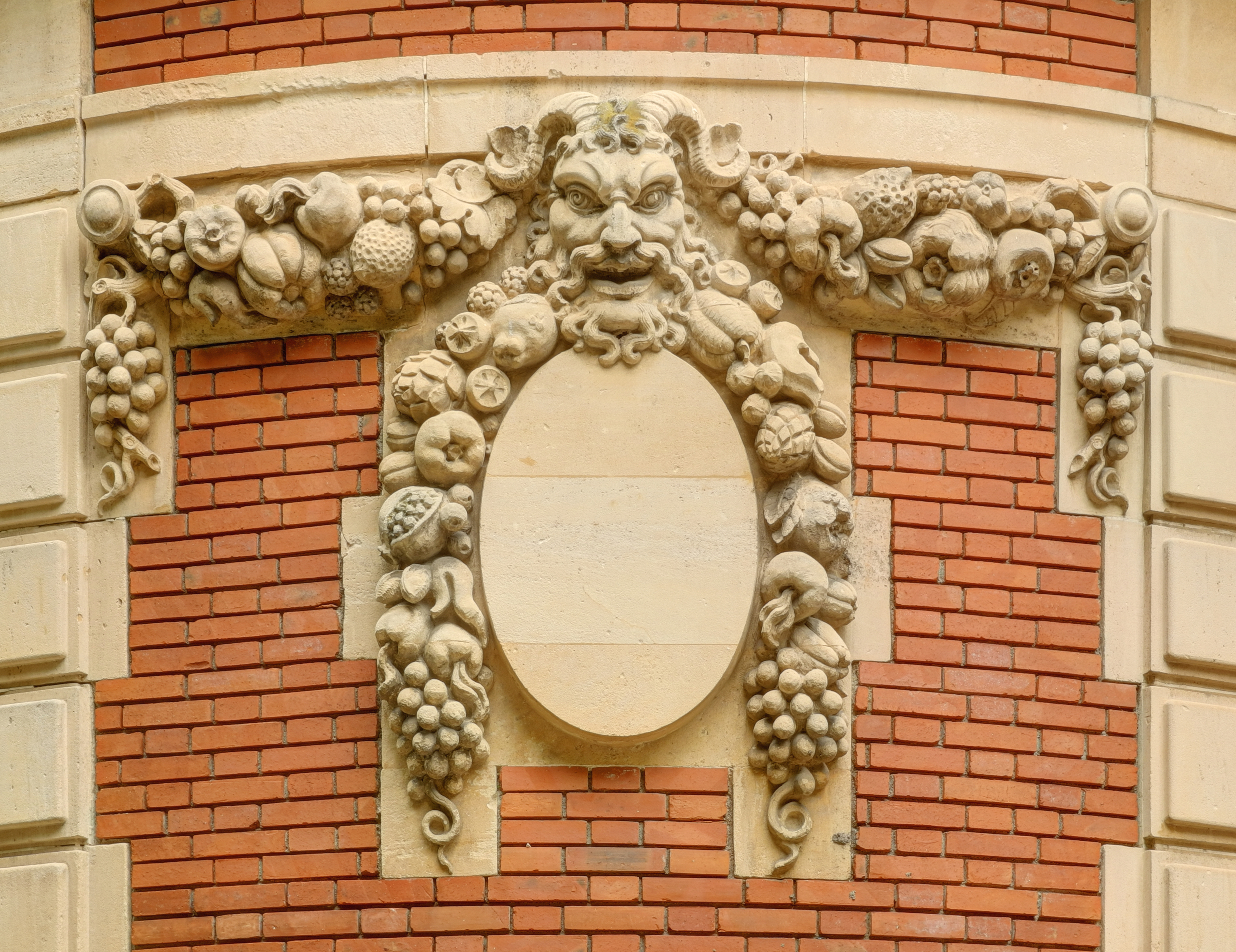
- The Minal Museum was named after Emile Minal, a man who lived in the city and who had accumulated many works of art. When he died, his wife donated his collection of art to the city. The Museum hosts many temporary expositions
- The factory's chimney remains to remind us of the ancient industry of weaving.
- The fountain of "Savourot" is quite particular because of his half-circle shape. More recently, the city has decided to raze to the ground the house which obstructed the view to the fountain.
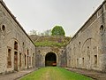 Fort du Mont Vaudois
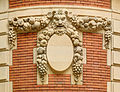 Minal Museum
 Lutheran church Saint-Christophe


See also
References
- "Populations légales 2019". The National Institute of Statistics and Economic Studies. 29 December 2021.
- Commune d'Héricourt (70285), INSEE
- Arrêté préfectoral 19 October 2018 (in French)
- Population en historique depuis 1968, INSEE
Authority control | |
|---|---|
| General |
|
| National libraries | |
This Haute-Saône geographical article is a stub. You can help Wikipedia by expanding it. |
На других языках
- [en] Héricourt, Haute-Saône
[ru] Эрикур (Верхняя Сона)
Эрику́р (фр. Héricourt) — коммуна во Франции, находится в регионе Франш-Конте. Департамент — Верхняя Сона. Административный центр кантона Эрикур-Эст. Округ коммуны — Люр.Другой контент может иметь иную лицензию. Перед использованием материалов сайта WikiSort.org внимательно изучите правила лицензирования конкретных элементов наполнения сайта.
WikiSort.org - проект по пересортировке и дополнению контента Википедии