world.wikisort.org - France
Ardeuil-et-Montfauxelles is a commune in the Ardennes department in the Grand Est region of northern France.
Ardeuil-et-Montfauxelles | |
|---|---|
Commune | |
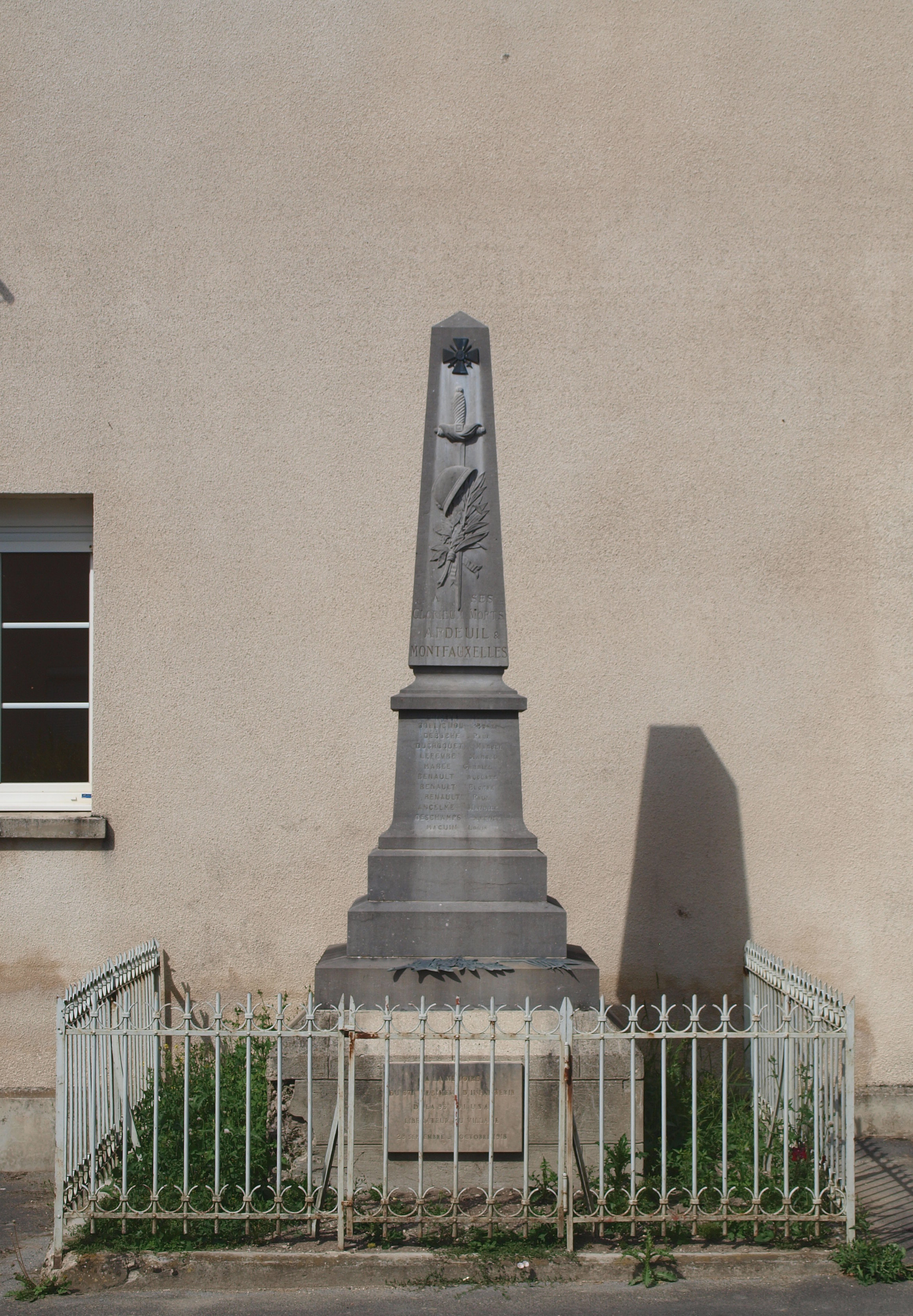
 The Town Hall | |
Location of Ardeuil-et-Montfauxelles  | |
 Ardeuil-et-Montfauxelles  Ardeuil-et-Montfauxelles | |
| Coordinates: 49°16′08″N 4°42′27″E | |
| Country | France |
| Region | Grand Est |
| Department | Ardennes |
| Arrondissement | Vouziers |
| Canton | Attigny |
| Intercommunality | Argonne Ardennaise |
| Government | |
| • Mayor (2020–2026) | Fabrice Marchand[1] |
| Area 1 | 4.28 km2 (1.65 sq mi) |
| Population | 73 |
| • Density | 17/km2 (44/sq mi) |
| Time zone | UTC+01:00 (CET) |
| • Summer (DST) | UTC+02:00 (CEST) |
| INSEE/Postal code | 08018 /08400 |
| Elevation | 109–179 m (358–587 ft) (avg. 120 m or 390 ft) |
| 1 French Land Register data, which excludes lakes, ponds, glaciers > 1 km2 (0.386 sq mi or 247 acres) and river estuaries. | |
The inhabitants of the commune are known as Ardeuillais or Ardeuillaises[3]
Geography
Ardeuil-et-Montfauxelles is located 25 km south of Vouziers and 16 km east by north-east of Sommepy-Tahure on the border with the Marne department which border forms the southern border of the commune. Access is by road D6 from Manre in the west passing through the commune and the village before continuing east to Montcheutin. The smaller D121 road goes from the village north-east to join the D21 south-east of Challerange. Apart from the two villages of Ardeuil and Montfauxelles the commune is entirely farmland.[4]
The Allin river flows through the commune from west to north-east. It joins the Aisne river at Brécy-Brières.[4]
Neighbouring communes and villages
Places adjacent to Ardeuil-et-Montfauxelles | ||||||||||||||||
|---|---|---|---|---|---|---|---|---|---|---|---|---|---|---|---|---|
| ||||||||||||||||
Administration
This list is incomplete; you can help by adding missing items. (April 2021) |
List of Successive Mayors[5]
| From | To | Name |
|---|---|---|
| 1995 | 2014 | Denis Noizet |
| 2014 | 2020 | Georges Pincon |
| 2020 | current | Fabrice Marchand |
Demography
In 2017 the commune had 68 inhabitants. The population data given in the table and graph below for 1821 and earlier refer to the former commune of Ardeuil.
|
| ||||||||||||||||||||||||||||||||||||||||||||||||||||||||||||||||||||||||||||||||||||||||||||||||||||||||||||
| Source: EHESS[6] and INSEE[7] | |||||||||||||||||||||||||||||||||||||||||||||||||||||||||||||||||||||||||||||||||||||||||||||||||||||||||||||


See also
References
- "Répertoire national des élus: les maires". data.gouv.fr, Plateforme ouverte des données publiques françaises (in French). 2 December 2020.
- "Populations légales 2019". The National Institute of Statistics and Economic Studies. 29 December 2021.
- Inhabitants of Ardennes (in French)
- Google Maps
- List of Mayors of France
- Des villages de Cassini aux communes d'aujourd'hui: Commune data sheet Ardeuil-et-Montfauxelles, EHESS. (in French)
- Population en historique depuis 1968, INSEE
External links
- Ardeuil-et-Montfauxelles on the National Geographic Institute website (in French)
- Ardeuil-et-Montfauxelles on Géoportail, National Geographic Institute (IGN) website (in French)
- Ardeuil and Montfauxel on the 1750 Cassini Map
| Authority control |
|
|---|
На других языках
[de] Ardeuil-et-Montfauxelles
Ardeuil-et-Montfauxelles ist eine französische Gemeinde mit 73 Einwohnern (Stand: 1. Januar 2019) im Département Ardennes in der Region Grand Est. Sie gehört zum Arrondissement Vouziers und zum Kanton Attigny.- [en] Ardeuil-et-Montfauxelles
[ru] Ардёй-э-Монфоксель
Ардёй-э-Монфоксе́ль (фр. Ardeuil-et-Montfauxelles) — коммуна во Франции, находится в регионе Шампань — Арденны. Департамент коммуны — Арденны. Входит в состав кантона Монтуа. Округ коммуны — Вузье.Другой контент может иметь иную лицензию. Перед использованием материалов сайта WikiSort.org внимательно изучите правила лицензирования конкретных элементов наполнения сайта.
WikiSort.org - проект по пересортировке и дополнению контента Википедии