world.wikisort.org - Czech
Nižní Lhoty (Polish: Ligota Dolna, German: Unter Ellgoth) is a municipality and village in Frýdek-Místek District in the Moravian-Silesian Region of the Czech Republic. It has about 300 inhabitants.
Nižní Lhoty | |
|---|---|
Municipality | |
 Fire station | |
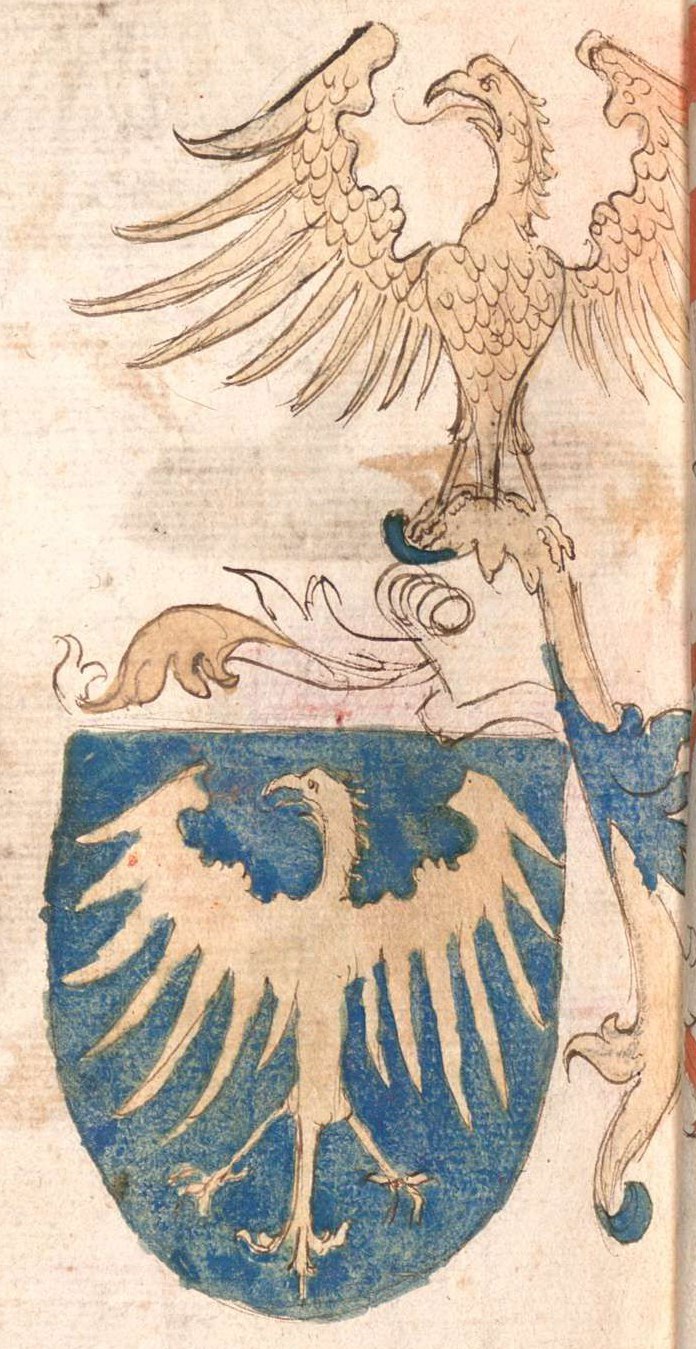
 Flag  Coat of arms | |
 Nižní Lhoty Location in the Czech Republic | |
| Coordinates: 49°38′46″N 18°26′12″E | |
| Country | |
| Region | Moravian-Silesian |
| District | Frýdek-Místek |
| First mentioned | 1434 |
| Area | |
| • Total | 3.79 km2 (1.46 sq mi) |
| Elevation | 359 m (1,178 ft) |
| Population (2022-01-01)[1] | |
| • Total | 303 |
| • Density | 80/km2 (210/sq mi) |
| Time zone | UTC+1 (CET) |
| • Summer (DST) | UTC+2 (CEST) |
| Postal code | 739 51 |
| Website | www |
Etymology
The name Lhoty is plural of Lhota, which a very common name of Slavic settlement, derived from lhůta (i.e. "period"). The adjective Nižní, originally Dolny neb Spodny (i.e. "lower") was used to differentiate it from the younger nearby sister settlement called originally Hornÿ, today Vyšní Lhoty ("Upper Lhoty").[2]
Geography
Nižní Lhoty is located about 6 kilometres (4 mi) southeast of Frýdek-Místek. It lies in the historical region of Cieszyn Silesia, in the western part of the Moravian-Silesian Foothills. The municipality lies on the right bank of the Morávka River.
History
Some sources state that the village was first mentioned in a Latin document of Diocese of Wrocław called Liber fundationis episcopatus Vratislaviensis from around 1305 as item Rudgeri villa, however it is very unlikely and disputed.[lower-alpha 1] Far more likely it was later mentioned in 1434 as Lhoty and in 1450 as Rozkowa Lhota. Later up the Morávka river the sister settlement of Vyšní Lhoty was established. They were then both mentioned in 1584. The name Nižní Lhoty was first used in 1573.[2][3][4]
Politically the village belonged initially to the Duchy of Teschen. In 1573 it was sold as one of 16 villages and the town of Friedeck and formed a state country split from the Duchy of Teschen.[5]
The village had a typical agricultural and pastoral character. In the 18th century, the road leading through the valley to the mountain area led outside the built-up part of the village, which led to the isolation of the village and only a very slow development of business and trade.[4]
After World War I and fall of Austria-Hungary it became a part of Czechoslovakia. In March 1939 it became a part of Protectorate of Bohemia and Moravia. After World War II it was restored to Czechoslovakia.
Notes
- This leaves the question what happened to Rudgeri villa, as it indeed lay somewhere in the vicinity but is now considered lost. It was probably absorbed by another nearby village, but not necessarily by Nižní Lhoty.
References
- "Population of Municipalities – 1 January 2022". Czech Statistical Office. 2022-04-29.
- Mrózek, Robert (1984). Nazwy miejscowe dawnego Śląska Cieszyńskiego [Local names of former Cieszyn Silesia] (in Polish). Katowice: University of Silesia in Katowice. p. 106. ISSN 0208-6336.
- Panic, Idzi (2015). Śląsk Cieszyński w średniowieczu (do 1528) [Cieszyn Silesia in Middle Ages (until 1528)] (PDF) (in Polish). Cieszyn: Starostwo Powiatowe w Cieszynie. p. 307. ISBN 978-83-935147-8-6.
- "Historie a obecní symboly Nižních Lhot" (in Czech). Obec Nižní Lhoty. Retrieved 2022-06-30.
- Panic, Idzi (2011). Śląsk Cieszyński w początkach czasów nowożytnych (1528-1653) [Cieszyn Silesia in the beginnings of Modern Era (1528-1653)] (in Polish). Cieszyn: Starostwo Powiatowe w Cieszynie. p. 224. ISBN 978-83-926929-5-9.
External links
Cieszyn Silesia | ||||
|---|---|---|---|---|
| Municipalities in the Czech Republic |
|   | ||
| Municipalities in Poland |
| |||
| Related articles |
| |||
| Authority control: National libraries |
|---|
Другой контент может иметь иную лицензию. Перед использованием материалов сайта WikiSort.org внимательно изучите правила лицензирования конкретных элементов наполнения сайта.
WikiSort.org - проект по пересортировке и дополнению контента Википедии