world.wikisort.org - Czech
Lučina is a municipality and village in Frýdek-Místek District in the Moravian-Silesian Region of the Czech Republic. It has about 1,500 inhabitants.
Lučina | |
|---|---|
Municipality | |
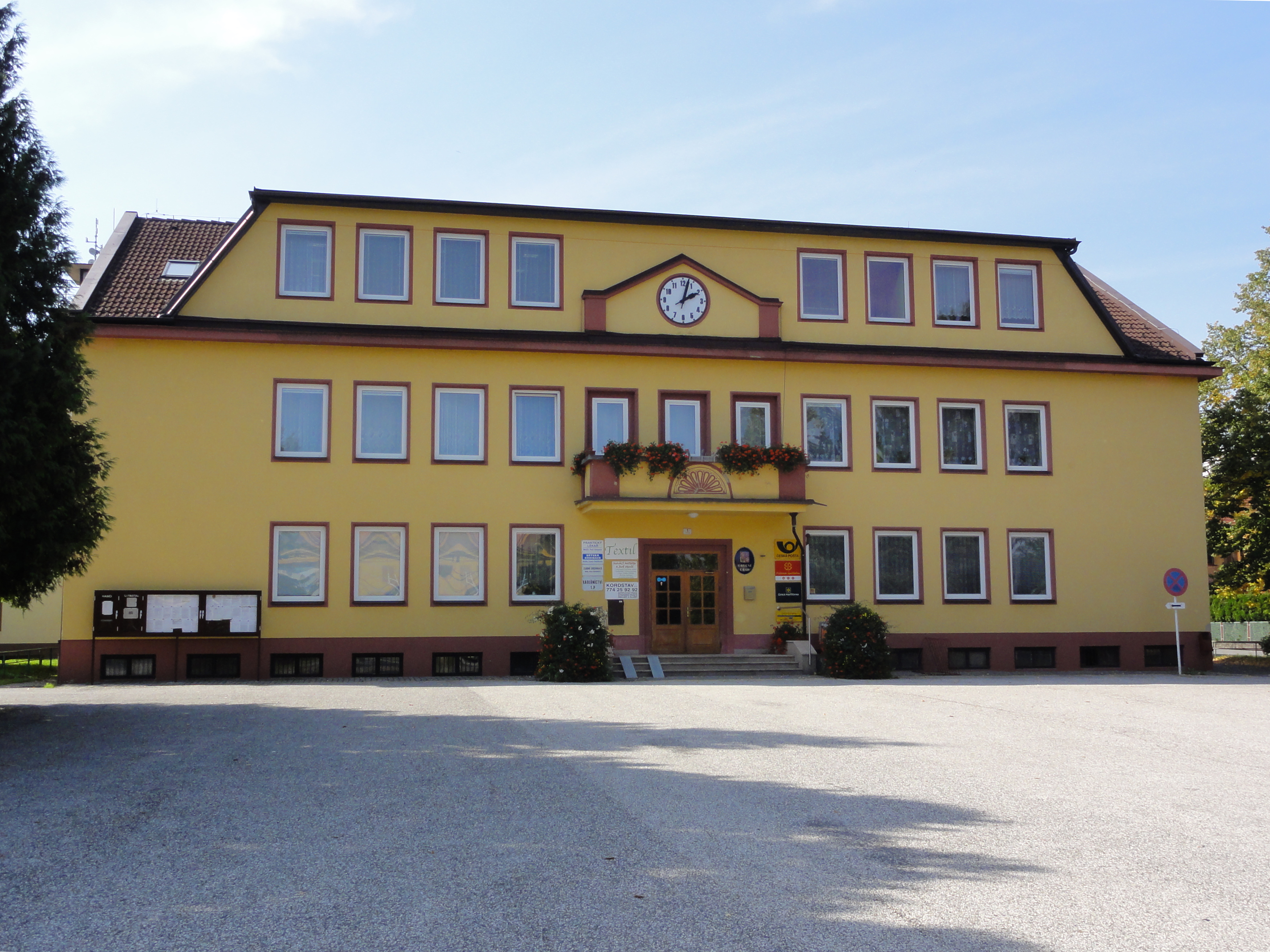 Municipal office | |
 Flag  Coat of arms | |
 Lučina Location in the Czech Republic | |
| Coordinates: 49°42′57″N 18°26′59″E | |
| Country | |
| Region | Moravian-Silesian |
| District | Frýdek-Místek |
| Established | 1956 |
| Government | |
| • Mayor | Dagmar Veselá |
| Area | |
| • Total | 7.44 km2 (2.87 sq mi) |
| Elevation | 312 m (1,024 ft) |
| Population (2022-01-01)[1] | |
| • Total | 1,487 |
| • Density | 200/km2 (520/sq mi) |
| Time zone | UTC+1 (CET) |
| • Summer (DST) | UTC+2 (CEST) |
| Postal code | 739 39 |
| Website | www |
Geography
Lučina lies in the historical region of Cieszyn Silesia, in the Moravian-Silesian Foothills. The village is located on the western shore of Žermanice Dam, which is entirely located in the municipal territory of Lučina.
History
The construction of Žermanice Dam on the Lučina River necessitated resettlement of the population of the villages of Dolní Domaslavice and Soběšovice, which were going to be partly flooded. Therefore, a new village was founded on the western bank of the nascent reservoir to accommodate resettled population, encompassing former western territories of the aforementioned municipalities. The Lučina municipality was officially established on 8 January 1956.[2]
References
- "Population of Municipalities – 1 January 2022". Czech Statistical Office. 2022-04-29.
- "Historie" (in Czech). Obec Lučina. Retrieved 2022-03-30.
External links
- Official website (in Czech)
Cieszyn Silesia | ||||
|---|---|---|---|---|
| Municipalities in the Czech Republic |
|   | ||
| Municipalities in Poland |
| |||
| Related articles |
| |||
| Authority control: National libraries |
|---|
This Moravian-Silesian Region location article is a stub. You can help Wikipedia by expanding it. |
Другой контент может иметь иную лицензию. Перед использованием материалов сайта WikiSort.org внимательно изучите правила лицензирования конкретных элементов наполнения сайта.
WikiSort.org - проект по пересортировке и дополнению контента Википедии