world.wikisort.org - Cuba
Santo Domingo is a municipality and town in the Villa Clara Province of Cuba.
Santo Domingo | |
|---|---|
Municipality | |
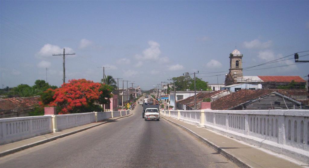 The Carretera Central across Santo Domingo | |
 Seal | |
 Santo Domingo municipality (red) within Villa Clara Province (yellow) and Cuba | |
| Coordinates: 22°35′0″N 80°14′18″W | |
| Country | Cuba |
| Province | Villa Clara |
| Founded | 1819[1] |
| Established | 1879 (Municipality) |
| Area | |
| • Total | 883 km2 (341 sq mi) |
| Elevation | 50 m (160 ft) |
| Population (2004)[3] | |
| • Total | 53,840 |
| • Density | 61.0/km2 (158/sq mi) |
| Time zone | UTC-5 (EST) |
| Area code | +53-422 |
It was founded in 1819[1] and established as a municipality in 1879.
Geography
The town is divided into the wards (barrios) of Este (east) and Oeste (west). The municipality includes the villages of Álvarez, Amaro, Arenas, Baracaldo, Bermejal, Cascajal, Cayo Bejuco, Cerrito, George Washington, Jiquiabo, La Criolla, Las Casimbas, Manacas, Mordazo, Puerto Escondido, Río, Rodrigo, Sabino Hernández, San Bartolomé, San Juan de Amaro, San Marcos, Ulacia (Carlos Baliño), Ventiseis de Julio, Yabucito. Until the 1977 municipal reform, Santo Domingo included Jicotea too, nowadays part of Ranchuelo municipality.[1][4]
The wards ("consejos populares" in spanish) of the municipality are Cascajal, Mordazo, Sabino Hernández, Manacas, Washington, La Palma y El Jardín (main town of Santo Domingo), 26 de Julio, and Baliño y Rodrigo-Amaro.[5]
Demographics
In 2004, the municipality of Santo Domingo had a population of 53,840.[3] With a total area of 883 km2 (341 sq mi),[2] it has a population density of 61.0/km2 (158/sq mi).
See also
- Municipalities of Cuba
- List of cities in Cuba
References
- Guije.com. "Santo Domingo" (in Spanish). Retrieved 2007-10-09.
- Statoids (July 2003). "Municipios of Cuba". Retrieved 2007-10-09.
- Atenas.cu (2004). "2004 Population trends, by Province and Municipality" (in Spanish). Archived from the original on 2007-09-27. Retrieved 2007-10-09.
- 5884805 Santo Domingo on OpenStreetMap
- "Sobre Nosotros". Somos Santo Domingo (in Spanish).
External links
![]() Media related to Santo Domingo, Cuba at Wikimedia Commons
Media related to Santo Domingo, Cuba at Wikimedia Commons
- (in Spanish) Santo Domingo on EcuRed
Places adjacent to Santo Domingo, Cuba | ||||||||||||||||
|---|---|---|---|---|---|---|---|---|---|---|---|---|---|---|---|---|
| ||||||||||||||||
Municipalities in Villa Clara Province | ||
|---|---|---|
This Cuban location article is a stub. You can help Wikipedia by expanding it. |
На других языках
- [en] Santo Domingo, Cuba
[ru] Санто-Доминго (Куба)
Санто-Доминго (исп. Santo Domingo) — муниципалитет и город в провинции Вилья-Клара на Кубе. Был основан в 1819 году, статус муниципалитета получил в 1879 году[1].Другой контент может иметь иную лицензию. Перед использованием материалов сайта WikiSort.org внимательно изучите правила лицензирования конкретных элементов наполнения сайта.
WikiSort.org - проект по пересортировке и дополнению контента Википедии