world.wikisort.org - China
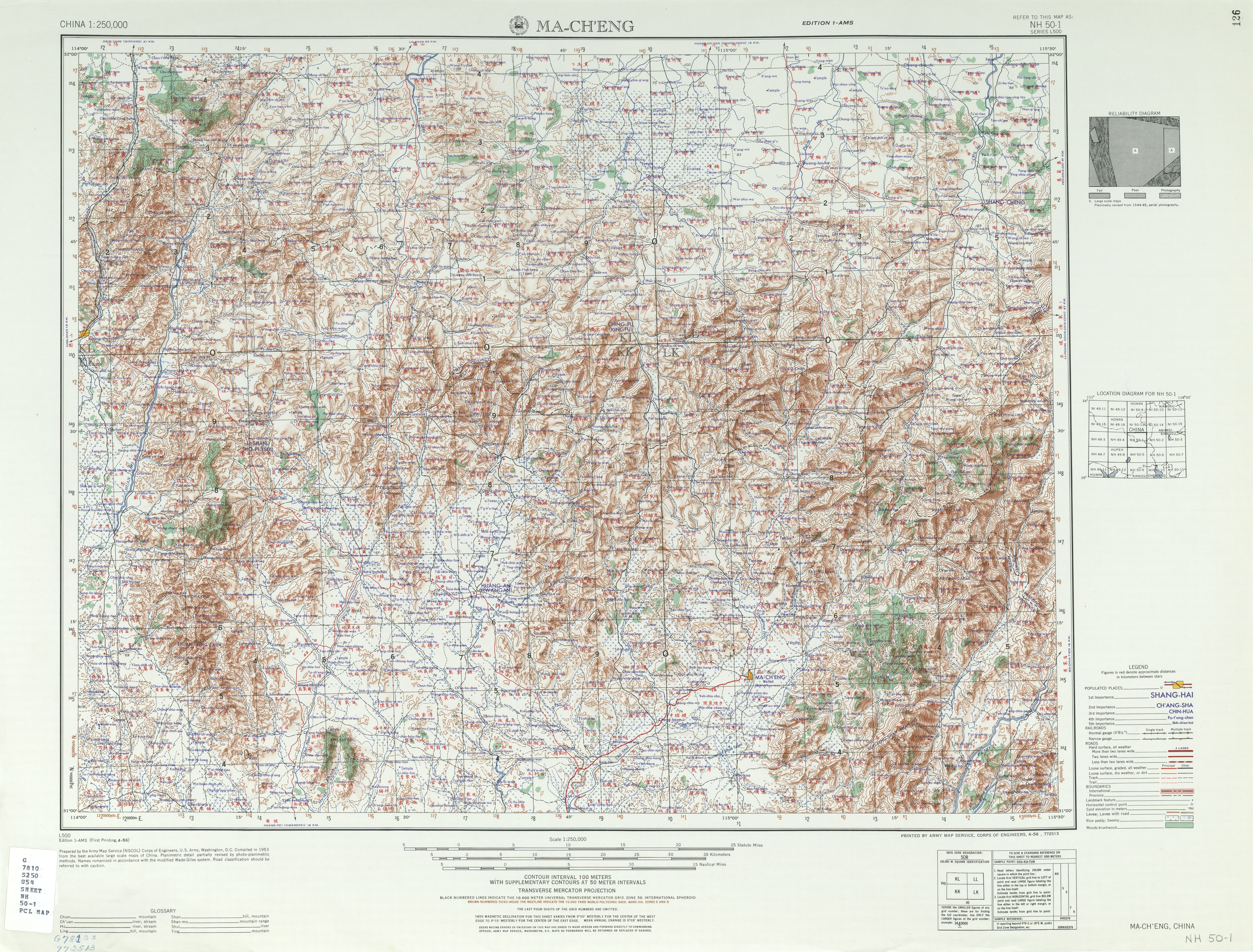
Macheng (Chinese: 麻城; pinyin: Máchéng) is a city in northeastern Hubei province, People's Republic of China, bordering the provinces of Henan to the north and Anhui to the northeast. It is a county-level city under the administration of Huanggang City and abuts the south side of the Dabie Mountains. The city's administrative area covers about 3,747 square kilometres (1,447 sq mi), and includes some 704 villages and small towns. Total population was 849,092 at the 2010 census.
Macheng
麻城市 | |
|---|---|
County-level city | |
 Macheng urban area | |
| Nickname: Azalea city | |
 Macheng Location in Hubei | |
| Coordinates (Macheng government): 31°10′23″N 115°00′29″E | |
| Country | People's Republic of China |
| Province | Hubei |
| Prefecture-level city | Huanggang |
| Area | |
| • County-level city | 3,600 km2 (1,400 sq mi) |
| • Urban | 251.27 km2 (97.02 sq mi) |
| Population (2010) | |
| • County-level city | 849,092 |
| • Estimate (2017) | 1,199,000 |
| • Density | 240/km2 (610/sq mi) |
| • Urban | 275,800 |
| Time zone | UTC+8 (China Standard) |
| Website | 麻城市政府门户网站 (Macheng City Government Web Portal) (in Simplified Chinese) |
History
Macheng has a long history, dating back to the Spring and Autumn period as part of the state of Chu, and was the site of the historic Battle of Boju fought between Chu and Wu in 506 BC. It was named Macheng in 598 AD.
In 1927, a major peasant revolt erupted in Macheng, creating a strong base for the ensuing Communist revolution in 1949. More than 100,000 people joined Mao's Red Army under local Generals, Wang Shusheng and Chen Zaidao. A guerilla base in Macheng was eliminated in the Campaign to Suppress Bandits in Dabieshan.
Macheng played a key role during the Great Leap Forward. In an effort to increase crop yields, the local communist cadres began demolishing walls of old buildings, abandoned huts and farm stables where animals had urinated to provide nutrients for the soil. In January 1958, Macheng County was exalted by the provincial party secretary, Wang Renzhong. for reaching a rice yield of six tonnes per hectare. The People's Daily applauded the efforts in an op-ed and labelled it as a 'model commune' which attracted more than half a million cadres in 1958, including Zhou Enlai, Chen Yi and Li Xiannian. Spurred on by the positive coverage, overzealous local officials destroyed more than 50,000 houses in an effort to make more manure which spurred other neighboring counties and provinces to follow. More than 30-40% of all houses in China were destroyed following this incident during the Great Leap Forward.[2]
Geography
Administrative Divisions
Macheng administers:[3][4][5][6]
| # | Name | Chinese (S) | ||||
|---|---|---|---|---|---|---|
| Districts | ||||||
| 1 | Longchiqiao Subdistrict Dragon Pond Bridge | 龙池桥街道 | ||||
| 2 | Gulou Subdistrict Drum tower | 鼓楼街道 | ||||
| 3 | Nanhu Subdistrict South Lake | 南湖街道 | ||||
| Towns | ||||||
| 4 | Zhongguanyi Town | 中馆驿镇 | ||||
| 5 | Songbu Town | 宋埠镇 | ||||
| 6 | Qiting Town | 歧亭镇 | ||||
| 7 | Baiguo Town | 白果镇 | ||||
| 8 | Fuzihe Town | 夫子河镇 | ||||
| 9 | Yanjiahe Town | 阎家河镇 | ||||
| 10 | Guishan Town | 龟山镇 | ||||
| 11 | Yantianhe Town | 盐田河镇 | ||||
| 12 | Zhangjiafan Town | 张家畈镇 | ||||
| 13 | Muzidian Town | 木子店镇 | ||||
| 14 | Sanhekou Town | 三河口镇 | ||||
| 15 | Huangtugang Town | 黄土岗镇 | ||||
| 16 | Futianhe Town | 福田河镇 | ||||
| 17 | C/Shengmagang Town | 乘马岗镇 | ||||
| 18 | Shunhe Town (Shunheji) | 顺河镇 (顺河集镇) | ||||
| Townships | ||||||
| 19 | Tiemengang Township | 铁门岗乡 | ||||
| Other Areas | ||||||
| 20 | Macheng Economic Development Zone | 麻城经济开发区 | ||||
Geography of city
The county-level city of Macheng has a total land area of 3,600 km2 (1,400 sq mi). It is located in the northeastern portions of Hubei. Most of the higher elevation portions of the Dabie Mountains is on the northern portions of the city. It is bordered by Henan to the northwest and Anhui to the northeast respectively. The region where Macheng is located is considered as a subtropical area and the Dabie mountainous terrain is mainly to the north and northeast.
Climate
Macheng has a humid subtropical climate (Köppen climate classification: Cfa) with very hot summers and relatively cold winters.
| Climate data for Macheng (1981−2010) | |||||||||||||
|---|---|---|---|---|---|---|---|---|---|---|---|---|---|
| Month | Jan | Feb | Mar | Apr | May | Jun | Jul | Aug | Sep | Oct | Nov | Dec | Year |
| Record high °C (°F) | 21.3 (70.3) |
27.7 (81.9) |
31.9 (89.4) |
34.5 (94.1) |
36.2 (97.2) |
37.7 (99.9) |
39.7 (103.5) |
40.2 (104.4) |
38.0 (100.4) |
35.1 (95.2) |
30.5 (86.9) |
22.9 (73.2) |
40.2 (104.4) |
| Average high °C (°F) | 8.5 (47.3) |
11.2 (52.2) |
15.6 (60.1) |
22.4 (72.3) |
27.4 (81.3) |
30.4 (86.7) |
33.0 (91.4) |
32.8 (91.0) |
29.0 (84.2) |
23.5 (74.3) |
17.3 (63.1) |
11.1 (52.0) |
21.9 (71.3) |
| Daily mean °C (°F) | 3.7 (38.7) |
6.3 (43.3) |
10.5 (50.9) |
17.0 (62.6) |
22.2 (72.0) |
25.9 (78.6) |
28.7 (83.7) |
27.9 (82.2) |
23.7 (74.7) |
17.9 (64.2) |
11.4 (52.5) |
5.6 (42.1) |
16.7 (62.1) |
| Average low °C (°F) | 0.3 (32.5) |
2.6 (36.7) |
6.5 (43.7) |
12.5 (54.5) |
17.7 (63.9) |
22.0 (71.6) |
25.1 (77.2) |
24.3 (75.7) |
19.7 (67.5) |
13.7 (56.7) |
7.2 (45.0) |
1.8 (35.2) |
12.8 (55.0) |
| Record low °C (°F) | −12.7 (9.1) |
−6.6 (20.1) |
−4.3 (24.3) |
1.2 (34.2) |
7.6 (45.7) |
11.9 (53.4) |
17.7 (63.9) |
16.7 (62.1) |
10.7 (51.3) |
1.8 (35.2) |
−3.9 (25.0) |
−14.8 (5.4) |
−14.8 (5.4) |
| Average precipitation mm (inches) | 37.2 (1.46) |
55.5 (2.19) |
84.6 (3.33) |
109.1 (4.30) |
146.5 (5.77) |
201.6 (7.94) |
262.9 (10.35) |
141.6 (5.57) |
78.2 (3.08) |
75.8 (2.98) |
52.2 (2.06) |
23.7 (0.93) |
1,268.9 (49.96) |
| Average relative humidity (%) | 73 | 73 | 73 | 73 | 73 | 76 | 77 | 77 | 74 | 73 | 72 | 71 | 74 |
| Source: China Meteorological Data Service Center[7] | |||||||||||||
Economy

Macheng is rich in resources, with about one million mu, or 670 square kilometres (260 sq mi)) under agricultural cultivation. Forests cover about three million mu (2,000 square kilometres (770 sq mi)), and water covers about 450,000 mu (300 square kilometres (120 sq mi)). The main mineral reserves are basalt, marble, and silicon, with large deposits of jade, gold, silver (large deposits of gold and silver are not verified) and copper, among others. The main plant crops are Chinese chestnuts, chrysanthemums, and persimmon fruit. The area is also famous for mulberry bushes and related silkworm production.[citation needed]
Transportation
There are two railway stations in Macheng. Macheng railway station is on the Beijing–Kowloon railway between Beijing and Hong Kong. Macheng North railway station is on the Hefei–Wuhan railway.
Villages
References
- Ministry of Housing and Urban-Rural Development, ed. (2019). China Urban Construction Statistical Yearbook 2017. Beijing: China Statistics Press. p. 66. Retrieved 11 January 2020.
- Dikötter, Frank (2010). "Chapter 5 (Launching Sputniks)". Mao's Great Famine: The History of China's Most Devastating Catastrophe, 1958–62. United States of America: Bloomsbury Publishing. p. 37. ISBN 978-0-8027-7768-3.
- 行政区划 (in Simplified Chinese). Macheng People's Government. Archived from the original on 18 November 2018. Retrieved 6 January 2018.
2015年,辖鼓楼、南湖、龙池桥3个街道办事处,阎家河、三河口、木子店、张家畈、龟山、盐田河、夫子河、白果、歧亭、宋埠、中馆驿、顺河、乘马岗、黄土岗、福田河15个镇,铁门岗1个乡,麻城经济开发区1个省级经济开发区等共有20个乡级行政机构;
- "黄冈市乡镇(街道)名录" [Huanggang City Township-level Divisions List] (in Simplified Chinese). XZQH.org. 15 August 2014. Retrieved 6 January 2018.
麻城市辖3个街道、15个镇、1个乡:龙池桥街道、鼓楼街道、南湖街道、中馆驿镇、宋埠镇、歧亭镇、白果镇、夫子河镇、阎家河镇、龟山镇、盐田河镇、张家畈镇、木子店镇、三河口镇、黄土岗镇、福田河镇、乘马岗镇、顺河集镇、铁门岗乡。
- 中国地质邮政编码簿(2015). China Post. 2015. p. 595.
- 2017年统计用区划代码和城乡划分代码:麻城市 [2017 Statistical Area Numbers and Rural-Urban Area Numbers: Macheng City]. National Bureau of Statistics of the People's Republic of China. 2017. Retrieved 7 August 2018.
统计用区划代码 名称 421181001000 龙池办事处 421181002000 鼓楼办事处 421181003000 南湖办事处 421181100000 中馆驿镇 421181101000 宋埠镇 421181102000 歧亭镇 421181103000 白果镇 421181104000 夫子河镇 421181105000 阎家河镇 421181106000 龟山镇 421181107000 盐田河镇 421181108000 张家畈镇 421181109000 木子店镇 421181110000 三河口镇 421181111000 黄土岗镇 421181112000 福田河镇 421181113000 乘马岗镇 421181114000 顺河镇 421181200000 铁门岗乡 421181401000 宋埠良种场 421181402000 麻城明山水库 421181403000 麻城三河水库 421181404000 狮子峰林场 421181405000 麻城林店茶场 421181471000 湖北省麻城开发区 421181472000 龟山风景区管理处 421181473000 湖北浮桥河国家湿地公园管理处 421181500000 五脑山林场
- 中国地面气候标准值月值(1981-2010) (in Simplified Chinese). China Meteorological Data Service Center. Retrieved 17 August 2022.
- Google Maps Mangcheng
- Willam T. Rowe, Crimson Rain: Seven Centuries of Violence in a Chinese County (Stanford: Stanford University Press, 2007), ISBN 0-8047-5496-9
Authority control | |
|---|---|
| General |
|
| National libraries | |
На других языках
- [en] Macheng
[ru] Мачэн
Мачэ́н (кит. упр. 麻城, пиньинь Máchéng) — городской уезд городского округа Хуанган провинции Хубэй (КНР).Другой контент может иметь иную лицензию. Перед использованием материалов сайта WikiSort.org внимательно изучите правила лицензирования конкретных элементов наполнения сайта.
WikiSort.org - проект по пересортировке и дополнению контента Википедии