world.wikisort.org - Cape_Verde
São Domingos (also: Várzea da Igreja) is a city[2] in the central part of the island of Santiago, Cape Verde. In 2010 its population was 2,818. It is the seat of the São Domingos Municipality. It is situated 13 km southeast of Assomada and 13 km northwest of the capital Praia, along the national road from Praia to Assomada (EN1-ST01). The settlement appeared in the 1747 map by Jacques-Nicolas Bellin as St. Domingo.[3]

São Domingos | |
|---|---|
Settlement | |
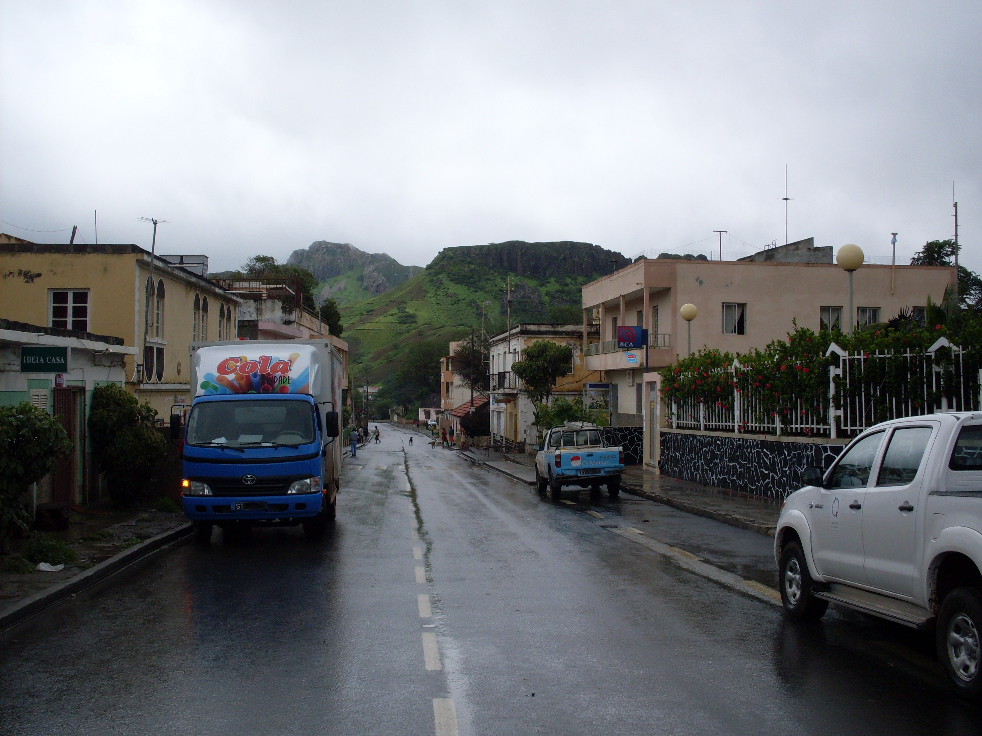 Main street in São Domingos | |
 São Domingos | |
| Coordinates: 15.028°N 23.563°W | |
| Country | Cape Verde |
| Island | Santiago |
| Municipality | São Domingos |
| Civil parish | São Nicolau Tolentino |
| Population (2010)[1] | |
| • Total | 2,818 |
| ID | 75217 |
References
| Wikimedia Commons has media related to São Domingos (Cape Verde). |
- "2010 Census results". Instituto Nacional de Estatística Cabo Verde (in Portuguese). 24 November 2016.
- Cabo Verde, Statistical Yearbook 2015, Instituto Nacional de Estatística, p. 32-33
- Jacques-Nicolas Bellin (1747). "Carte des Isles du Cap Verd = Kaart van de Eilanden van Kabo Verde" (in French).
Текст в блоке "Читать" взят с сайта "Википедия" и доступен по лицензии Creative Commons Attribution-ShareAlike; в отдельных случаях могут действовать дополнительные условия.
Другой контент может иметь иную лицензию. Перед использованием материалов сайта WikiSort.org внимательно изучите правила лицензирования конкретных элементов наполнения сайта.
Другой контент может иметь иную лицензию. Перед использованием материалов сайта WikiSort.org внимательно изучите правила лицензирования конкретных элементов наполнения сайта.
2019-2025
WikiSort.org - проект по пересортировке и дополнению контента Википедии
WikiSort.org - проект по пересортировке и дополнению контента Википедии