world.wikisort.org - Canada
Val Rita-Harty is a township municipality in Cochrane District in Northeastern Ontario, Canada.[1][3][4][5][6]
Val Rita-Harty | |
|---|---|
Township municipality (single-tier) | |
| Township of Val Rita-Harty Canton de Val Rita-Harty | |
 Val Rita | |
| Motto: In Uno Spiritu (Latin: "One in spirit") | |
 Val Rita-Harty Location in Ontario | |
| Coordinates: 49°29′02″N 82°37′47″W[1] | |
| Country | Canada |
| Province | Ontario |
| District | Cochrane |
| Settled | 1922 |
| Incorporated | 1973 |
| Government | |
| • Mayor | Johanne Baril |
| • MPs | Carol Hughes (NDP) |
| • MPPs | Guy Bourgouin (NDP) |
| Area | |
| • Land | 381.19 km2 (147.18 sq mi) |
| Population (2016)[2] | |
| • Total | 762 |
| • Density | 2.0/km2 (5/sq mi) |
| Time zone | UTC-5 (Eastern Time Zone (EST)) |
| • Summer (DST) | UTC-4 (Eastern Time Zone (EDT)) |
| Postal code | P0L 2G0 |
| Area code(s) | 705, 249 |
| Website | www |
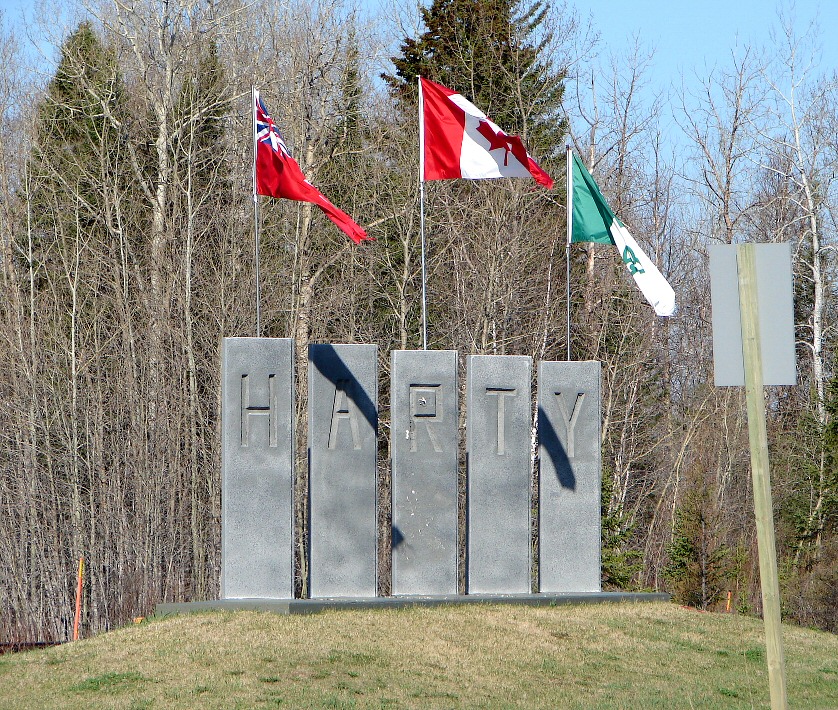
The township consists of two communities, Val Rita and Harty, both located along Highway 11 between Opasatika and Kapuskasing. It was incorporated as a township in 1973, following a failed community effort in 1964 to request incorporation as a municipality.
Demographics
In the 2021 Census of Population conducted by Statistics Canada, Val Rita-Harty had a population of 757 living in 326 of its 382 total private dwellings, a change of -0.7% from its 2016 population of 762. With a land area of 378.89 km2 (146.29 sq mi), it had a population density of 2.0/km2 (5.2/sq mi) in 2021.[7]
| 2016 | 2011 | |
|---|---|---|
| Population | 762 (-6.7% from 2011) | 817 (-13.0% from 2006) |
| Land area | 381.18 km2 (147.17 sq mi) | 382.71 km2 (147.77 sq mi) |
| Population density | 2.0/km2 (5.2/sq mi) | 2.1/km2 (5.4/sq mi) |
| Median age | 46.6 (M: 47.2, F: 45.9) | |
| Total private dwellings | 330 | 368 |
| Median household income | $66,560 |
Population:[11]
- Population in 2016: 762 (-6.7% from 2011)
- Population in 2011: 817 (-13.0% from 2006)
- Population in 2006: 939 (-8.1% from 2001)
- Population in 2001: 1,012 (-9.0% from 1996)
- Population in 1996: 1,112
- Population in 1991: 1,178
Mother tongue (as of 2016[update]):[2]
- English as first language: 22.2%
- French as first language: 74.5%
- English and French as first language: 1.3%
- Other as first language: 2%
See also
- List of townships in Ontario
- List of francophone communities in Ontario
References
- "Val Rita-Harty". Geographical Names Data Base. Natural Resources Canada. Retrieved 2018-09-07.
- "2016 Community Profiles". 2016 Canadian Census. Statistics Canada. August 12, 2021. Retrieved 2018-09-07.
- "Toporama (on-line map and search)". Atlas of Canada. Natural Resources Canada. 12 September 2016. Retrieved 2018-09-07.
- "Ontario Geonames GIS (on-line map and search)". Ontario Ministry of Natural Resources and Forestry. 2014. Retrieved 2018-09-07.
- Map 14 (PDF) (Map). 1 : 1,600,000. Official road map of Ontario. Ministry of Transportation of Ontario. 2016-01-01. Retrieved 2018-09-07.
- Restructured municipalities - Ontario map #3 (Map). Restructuring Maps of Ontario. Ontario Ministry of Municipal Affairs and Housing. 2006. Retrieved 2018-09-07.
- "Population and dwelling counts: Canada, provinces and territories, census divisions and census subdivisions (municipalities), Ontario". Statistics Canada. February 9, 2022. Retrieved April 2, 2022.
- "2011 Community Profiles". 2011 Canadian Census. Statistics Canada. March 21, 2019. Retrieved 2012-02-21.
- "2006 Community Profiles". 2006 Canadian Census. Statistics Canada. August 20, 2019.
- "2001 Community Profiles". 2001 Canadian Census. Statistics Canada. July 18, 2021.
- Statistics Canada: 1996 census
External links
Places adjacent to Val Rita-Harty | ||||||||||||||||
|---|---|---|---|---|---|---|---|---|---|---|---|---|---|---|---|---|
| ||||||||||||||||
Cochrane District, Ontario | ||
|---|---|---|
| City |
|  |
| Towns |
| |
| Townships |
| |
| First Nations |
| |
| Indian reserves | ||
| Indian settlements | ||
| Unorganized territories | ||
| Local services boards |
| |
| Unincorporated communities |
| |
| ||
This Northern Ontario geographical article is a stub. You can help Wikipedia by expanding it. |
Другой контент может иметь иную лицензию. Перед использованием материалов сайта WikiSort.org внимательно изучите правила лицензирования конкретных элементов наполнения сайта.
WikiSort.org - проект по пересортировке и дополнению контента Википедии