world.wikisort.org - Belgium
Ruiselede (historically Ruysselede) is a municipality located in the Belgian province of West Flanders. This town only comprises the town of Ruiselede proper. On January 1, 2006, Ruiselede had a total population of 5,113. The total area is 30.20 km² which gives a population density of 169 inhabitants per km².
Ruiselede | |
|---|---|
Municipality | |
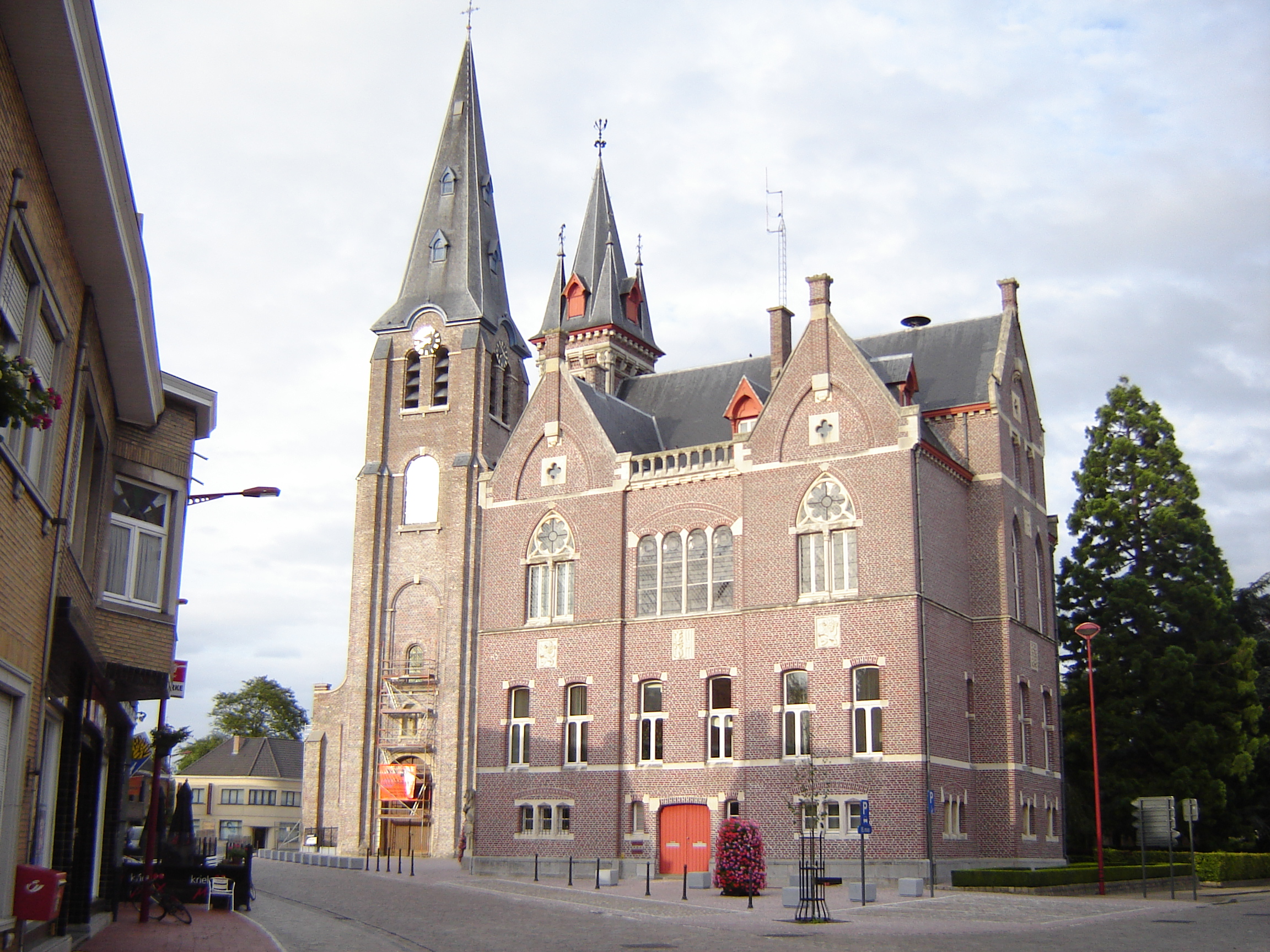 Village centre, with town hall and church of Our Lady | |
 Flag  Coat of arms | |
 Ruiselede Location in Belgium
Location of Ruiselede in West Flanders  | |
| Coordinates: 51°02′N 03°23′E | |
| Country | Belgium |
| Community | Flemish Community |
| Region | Flemish Region |
| Province | West Flanders |
| Arrondissement | Tielt |
| Government | |
| • Mayor | Greet De Roo |
| • Governing party/ies | RKD |
| Area | |
| • Total | 30.20 km2 (11.66 sq mi) |
| Population (2018-01-01)[1] | |
| • Total | 5,387 |
| • Density | 180/km2 (460/sq mi) |
| Postal codes | 8755 |
| Area codes | 051 |
| Website | www.ruiselede.be |
Ruiselede was the location of a coastal radio site. From 1923 to 1940 it had a VLF aerial. On 30 December 1933, the mast was demolished when an aircraft collided with it.
Gallery
![Onze-Lieve-Vrouw-ten-Hemelopnemingskerk (Ruiselede) [nl]](//upload.wikimedia.org/wikipedia/commons/thumb/3/3c/Onze-Lieve-Vlouv-ten-Hemelopnemingskerk%2C_Ruiselede_%28DSCF0084%29.jpg/43px-Onze-Lieve-Vlouv-ten-Hemelopnemingskerk%2C_Ruiselede_%28DSCF0084%29.jpg) Onze-Lieve-Vrouw-ten-Hemelopnemingskerk (Ruiselede)
Onze-Lieve-Vrouw-ten-Hemelopnemingskerk (Ruiselede)
References
- "Wettelijke Bevolking per gemeente op 1 januari 2018". Statbel. Retrieved 9 March 2019.
External links
 Media related to Ruiselede at Wikimedia Commons
Municipalities in the Province of West Flanders, Flanders, Belgium | ||
|---|---|---|
| Bruges |
|  |
| Diksmuide | ||
| Kortrijk | ||
| Ostend |
| |
| Roeselare | ||
| Tielt | ||
| Veurne | ||
| Ypres |
| |
Authority control | |
|---|---|
| General |
|
| National libraries | |
| Other |
|
This West Flanders location article is a stub. You can help Wikipedia by expanding it. |
На других языках
[de] Ruiselede
Ruiselede ist eine belgische Gemeinde in der Region Flandern mit 5368 Einwohnern (Stand 1. Januar 2020).- [en] Ruiselede
Текст в блоке "Читать" взят с сайта "Википедия" и доступен по лицензии Creative Commons Attribution-ShareAlike; в отдельных случаях могут действовать дополнительные условия.
Другой контент может иметь иную лицензию. Перед использованием материалов сайта WikiSort.org внимательно изучите правила лицензирования конкретных элементов наполнения сайта.
Другой контент может иметь иную лицензию. Перед использованием материалов сайта WikiSort.org внимательно изучите правила лицензирования конкретных элементов наполнения сайта.
2019-2026
WikiSort.org - проект по пересортировке и дополнению контента Википедии
WikiSort.org - проект по пересортировке и дополнению контента Википедии