world.wikisort.org - Bangladesh
Durgapur (Bengali: দূর্গাপুর) (also referred to as Susang Durgapur) is an upazila of the Netrokona District[1] in the Mymensingh Division of Bangladesh.
Durgapur
দূর্গাপুর | |
|---|---|
Upazila | |
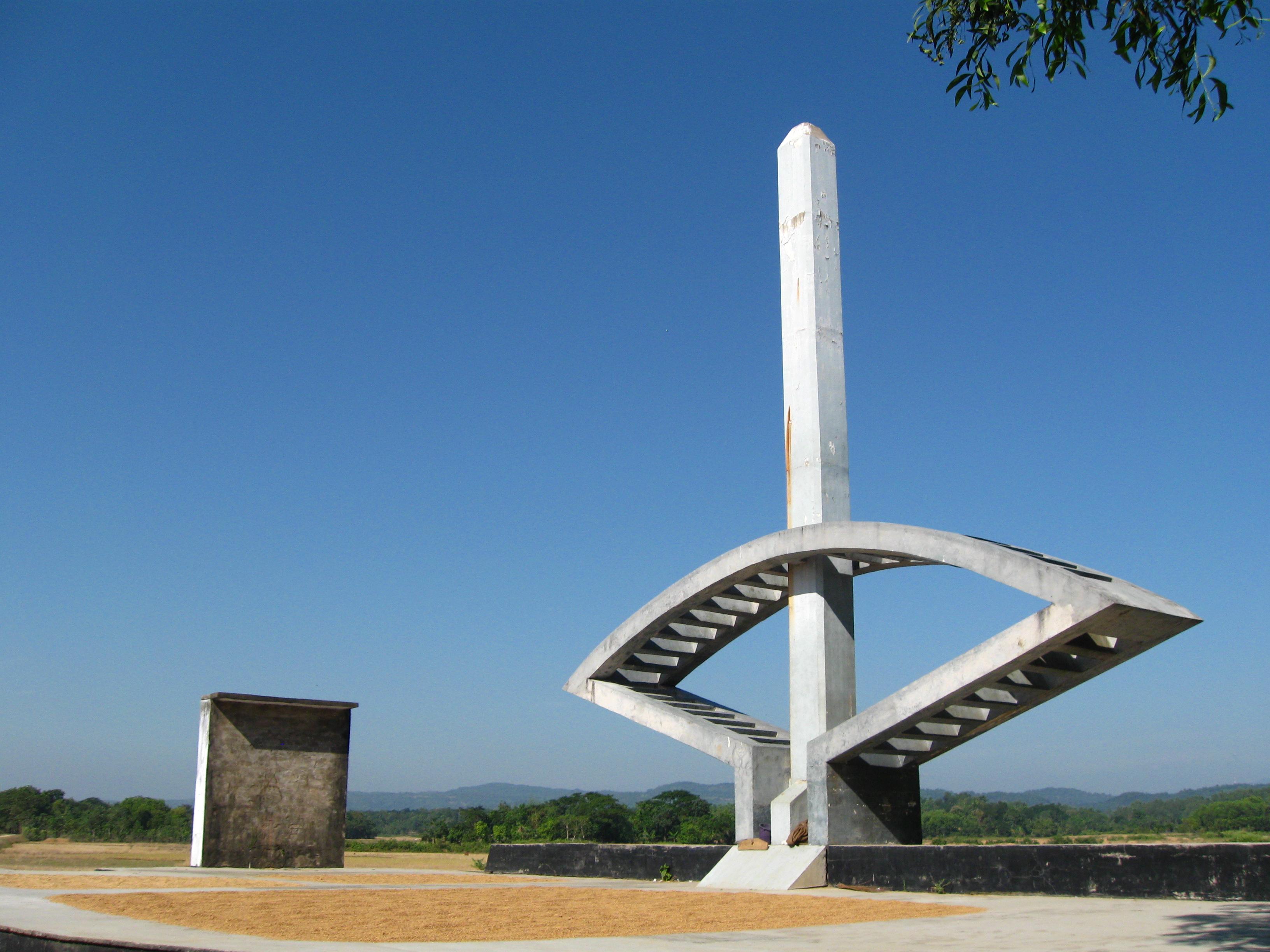
 Skyline of Durgapur, Bangladesh | |
 Durgapur Location in Bangladesh | |
| Coordinates: 25°7.5′N 90°41.3′E | |
| Country | |
| Division | Mymensingh Division |
| District | Netrokona District |
| Area | |
| • Total | 293.42 km2 (113.29 sq mi) |
| Population (2011) | |
| • Total | 224,873 |
| • Density | 770/km2 (2,000/sq mi) |
| Time zone | UTC+6 (BST) |
| Website | Official Map of Durgapur |
Geography
Durgapur is located at 25.1250°N 90.6875°E. It has 32,245 households and a total land area of 293.42 km2.
Demographics
According to 2011 Bangladesh census, Durgapur had a population of 224,873. Males constituted 49.67% of the population and females 50.33%. Muslims formed 90.10% of the population, Hindus 5.87%, Christians 3.89%, and others 0.14%. Durgapur had a literacy rate of 39.52% for the population 7 years and above.[2]
At the 1991 Bangladesh census, Durgapur had a population of 169,135, of whom 83,795 were aged 18 or older. Males constituted 50.49% of the population, and females 49.51%. Durgapur had an average literacy rate of 23% (7+ years), compared to the national average of 32.4%.[3]
Composition of Durgapur Thana
Total Households: 8,250
1. Bangali; Total Village: 48; Total Household: 4,778; Language Practiced: Bengali; Religion Practiced: Islam;
2. Banai; Total Village: 1; Total Household: 6; Language Practiced: Banai; Religion Practiced: Hinduism;
3. Buna / Buno;
Total Village: 3;
Total Household: 37;
Language Practiced: Bengali;
Religion Practiced: Hinduism;
Buna / Buno in Other Districts: Dhaka, Gazipur, Mymensingh, Rajbari, Sherpur, Tangail, Bagerhat, Jessore, Jhenaidah, Khulna, Kushtia, Magura, Satkhira, Bogra, Dinajpur, Joypurhat, Naogaon, Natore, Nilphamari, Pabna, Rajshahi, Sirajganj, Maulvibazar;
4. Garo; Number of Villages they lived with bangali: 10; Total Household: 924; Language Practiced: Achik / Garo (98.08%), Deal (1.92%); Religion Practiced: Christianity (99.96%), Shangsharik (0.04%); Garo lived in Other Districts: Sherpur, Mymensingh, Banderban, Chittagong,
5. Hajong; Number of Villages they lived with bangali: 08; Total Household: 505; Language Practiced: Hajong; Religion Practiced: Hinduism; Hajong in Other Districts: Mymensingh, Sherpur, Sunamganj;
The city's area is 293.42 sq km It is an ancient town situated on the banks of the river Somessori. This habitation known as a tourist area. There are civil and criminal courts here from British rule regime.
population Density 710 (per km2) literacy in rate in village 31.0% and in town 52.3% Population of the town 22661 and village 175665[4]
Administration
Durgapur Thana was formed in 1874 and converted into upazila was 1982.
Durgapur Upazila is divided into Durgapur Municipality and seven union parishads: Bakaljora, Birisiri, Chandigarh, Durgapur, Gaokandia, Kakairgara, and Kullagora. The union parishads are subdivided into 129 mauzas and 210 villages.[5]
Durgapur Municipality is subdivided into 9 wards and 30 mahallas.[5]
Notable residents
- Mustaque Ahmed Ruhi - Former Member of 9th National Parliament of 157th constituency which included this area.
Points of interest
- BGB Camp
- Bijoypur
- Birishiri Trival cultural Academy
- Blue Water Lake
- Monosapara Adventist School & Seminary
- Ranikong Mission School
- Rashimoni Statue
- Sagor Dighi
- Someshwari River
- Susang (sculpture)
- TEBHAHA Movement
- Tonk Movement Statue 1942-43
Transport
Over last 10 years, Durgapur has become a famous tourist spot. The most common transport used to visit Durgapur is bus or train. Every night at 11.50 PM, a train named Haor Express leaves Dhaka for Netrokona.
Direct bus from Dhaka to Durgapur is available from Dhaka Mohakhali Inter City Bus Terminal, it usually takes 5 hours to reach Durgapur by bus. The roads of Durgapur are highly damaged as innumerable trucks filled with wet sand from the Someshwari river travel them without following proper protocol.
Gallery

See also
- Upazilas of Bangladesh
- Districts of Bangladesh
- Divisions of Bangladesh
References
- Syed Marufuzzaman (2012), "Durgapur Upazila (Netrokona District)", in Sirajul Islam and Ahmed A. Jamal (ed.), Banglapedia: National Encyclopedia of Bangladesh (Second ed.), Asiatic Society of Bangladesh
- "Bangladesh Population and Housing Census 2011: Zila Report – Netrakona" (PDF). Table P01: Household and Population by Sex and Residence, Table P05: Population by Religion, Age group and Residence, Table P09 : Literacy of Population 7 Years & Above by Religion, Sex and Residence. Bangladesh Bureau of Statistics (BBS), Ministry of Planning, Government of the People’s Republic of Bangladesh. Retrieved 14 December 2018.
- "Population Census Wing, BBS". Archived from the original on 27 March 2005. Retrieved 10 November 2006.
- Details, eduguardian.com; accessed 3 September 2015.
- "District Statistics 2011: Netrokona" (PDF). Bangladesh Bureau of Statistics. Archived from the original (PDF) on 13 November 2014. Retrieved 14 July 2014.
Capital: Netrokona | ||
| Upazilas | ||
| Constituencies |
| |
| Attractions and sites |
| |
| History |
| |
| Inhabited areas |
| |
| Rivers | ||
| Educational institutions |
| |
| Transport |
| |
Headquarters: Mymensingh | ||
| Jamalpur District |  | |
| Mymensingh District | ||
| Netrokona District | ||
| Sherpur District | ||
На других языках
- [en] Durgapur Upazila, Netrokona
[ru] Дургапур (подокруг, Нетрокона)
Дургапур (бенг. দূর্গাপুর, англ. Durgapur) — подокруг на северо-востоке Бангладеш в составе округа Нетрокона. Образован в 1874 году. Административный центр — город Дургапур. Площадь подокруга — 293,42 км². По данным переписи 1991 года численность населения подокруга составляла 169 135 человек. Плотность населения равнялась 576 чел. на 1 км². Уровень грамотности населения составлял 23 %. Религиозный состав: мусульмане — 80 %, индуисты — 12 %, христиане — 8 %.Другой контент может иметь иную лицензию. Перед использованием материалов сайта WikiSort.org внимательно изучите правила лицензирования конкретных элементов наполнения сайта.
WikiSort.org - проект по пересортировке и дополнению контента Википедии