world.wikisort.org - Bangladesh
Asharkota or Asharkata (Bengali: আশারকোটা) is a village in Ramganj Upazila, Lakshmipur District in the Chittagong Division of eastern Bangladesh. It lies just to the northwest of Palakhal and north of Singua, 40.6 kilometres (25.2 mi) by road north of Ramganj.[1] The land is very low lying, at 10 metres (33 ft) above sea level.[2]
Asharkotaআশা | |
|---|---|
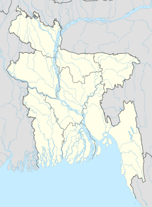 Asharkotaআশা Location in Bangladesh | |
| Coordinates: 23°23′50″N 90°50′05″E | |
| Country | |
| Division | Chittagong Division |
| District | Lakshmipur District |
| Upazila | Ramganj Upazila |
| Union | Noagaon Union |
| Elevation | 30 ft (10 m) |
| Time zone | UTC+6 (Bangladesh Time) |
Landmarks
There are several mosques in the village including Asharkota Prodhania bari Mosque and Asharkota Munshi Meher Ullah Jame Mosjid.[2] Taguria Primary School and Taguria Obaidul Haque High School lie to the northeast in Taguria.[1]
References
- "Taguria Primary School". Google Maps. Retrieved 9 July 2020.
- "Asharkota". Geonames.org. Retrieved 9 July 2020.
Capital: Lakshmipur | ||
| Upazilas | ||
| Constituencies |
| |
| Attractions and sites | ||
| History |
| |
| Inhabited areas |
| |
| Rivers and transport | ||
| Educational institutions |
| |
| See also |
| |
This Chittagong Division location article is a stub. You can help Wikipedia by expanding it. |
Текст в блоке "Читать" взят с сайта "Википедия" и доступен по лицензии Creative Commons Attribution-ShareAlike; в отдельных случаях могут действовать дополнительные условия.
Другой контент может иметь иную лицензию. Перед использованием материалов сайта WikiSort.org внимательно изучите правила лицензирования конкретных элементов наполнения сайта.
Другой контент может иметь иную лицензию. Перед использованием материалов сайта WikiSort.org внимательно изучите правила лицензирования конкретных элементов наполнения сайта.
2019-2026
WikiSort.org - проект по пересортировке и дополнению контента Википедии
WikiSort.org - проект по пересортировке и дополнению контента Википедии