world.wikisort.org - Austria
Heiligenkreuz im Lafnitztal (Hungarian: Rábakeresztúr, Rába-Keresztúr, Slovene: Sveti Križ) is a town in the district of Jennersdorf in the Austrian state of Burgenland close to the Austria/Hungary border.
Heiligenkreuz im Lafnitztal | |
|---|---|
 Aerial view | |
 Coat of arms | |
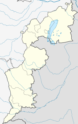 Heiligenkreuz im Lafnitztal Location within Burgenland  Heiligenkreuz im Lafnitztal Location within Austria | |
| Coordinates: 46°59′N 16°16′E | |
| Country | Austria |
| State | Burgenland |
| District | Jennersdorf |
| Government | |
| • Mayor | Eduard Zach (SPÖ) |
| Area | |
| • Total | 23.78 km2 (9.18 sq mi) |
| Elevation | 243 m (797 ft) |
| Population (2018-01-01)[2] | |
| • Total | 1,231 |
| • Density | 52/km2 (130/sq mi) |
| Time zone | UTC+1 (CET) |
| • Summer (DST) | UTC+2 (CEST) |
| Postal code | 7561 |
| Website | http://www.heiligenkreuz-lafnitztal.at/ |
Geography
Cadastral communities are Heiligenkreuz im Lafnitztal and Poppendorf im Burgenland.[3]
Population
| Year | Pop. | ±% |
|---|---|---|
| 1869 | 1,878 | — |
| 1880 | 1,935 | +3.0% |
| 1900 | 2,079 | +7.4% |
| 1910 | 2,173 | +4.5% |
| 1923 | 2,010 | −7.5% |
| 1934 | 1,942 | −3.4% |
| 1939 | 2,001 | +3.0% |
| 1951 | 1,890 | −5.5% |
| 1961 | 1,721 | −8.9% |
| 1971 | 1,574 | −8.5% |
| 1981 | 1,512 | −3.9% |
| 1991 | 1,420 | −6.1% |
| 2001 | 1,242 | −12.5% |
| 2011 | 1,268 | +2.1% |
References
- "Dauersiedlungsraum der Gemeinden Politischen Bezirke und Bundesländer - Gebietsstand 1.1.2018". Statistics Austria. Retrieved 10 March 2019.
- "Einwohnerzahl 1.1.2018 nach Gemeinden mit Status, Gebietsstand 1.1.2018". Statistics Austria. Retrieved 9 March 2019.
- Katastralgemeindenverzeichnis, www.bev.gv.at
External links
Wikimedia Commons has media related to Heiligenkreuz im Lafnitztal.
| Authority control |
|
|---|
This Burgenland location article is a stub. You can help Wikipedia by expanding it. |
На других языках
[de] Heiligenkreuz im Lafnitztal
Heiligenkreuz im Lafnitztal (ungarisch Rábakeresztúr) ist eine Marktgemeinde im Bezirk Jennersdorf im Burgenland in Österreich.- [en] Heiligenkreuz im Lafnitztal
[ru] Хайлигенкройц-им-Лафницталь
Хайлигенкройц-им-Лафницталь (нем. Heiligenkreuz im Lafnitztal) — посёлок (нем. Gemeinde) в Австрии, в федеральной земле Бургенланд.Текст в блоке "Читать" взят с сайта "Википедия" и доступен по лицензии Creative Commons Attribution-ShareAlike; в отдельных случаях могут действовать дополнительные условия.
Другой контент может иметь иную лицензию. Перед использованием материалов сайта WikiSort.org внимательно изучите правила лицензирования конкретных элементов наполнения сайта.
Другой контент может иметь иную лицензию. Перед использованием материалов сайта WikiSort.org внимательно изучите правила лицензирования конкретных элементов наполнения сайта.
2019-2026
WikiSort.org - проект по пересортировке и дополнению контента Википедии
WikiSort.org - проект по пересортировке и дополнению контента Википедии