world.wikisort.org - Australia
Tennyson is a locality in north central Victoria, Australia. The locality is in the Shire of Campaspe, 209 kilometres (130 mi) north west of the state capital, Melbourne.
| Tennyson Victoria | |
|---|---|
 General store at Tennyson | |
 Tennyson | |
| Coordinates | 36°18′S 144°26′E |
| Population | 48 (2016 census)[1] |
| Postcode(s) | 3572 |
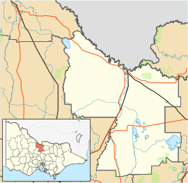
| Location | |
| LGA(s) | Shire of Campaspe |
| State electorate(s) | Murray Plains |
| Federal division(s) | Nicholls |
At the 2016 census, Tennyson had a population of 48.[1]
History
Tennyson was settled in the early 1870s and was originally named Pannoomilloo West. In 1875 a school opened called Pannoo Bamawm. In 1909 the Waranga Western Channel was extended, running through Pannoo Bamawm. In 1910 a Hall and Post office opened and the localities name was changed to Tennyson. In 1954 a school opened in Lockington and the school in Tennyson was shut down. [2]
References
- Australian Bureau of Statistics (27 June 2017). "Tennyson (Vic.)". 2016 Census QuickStats. Retrieved 10 July 2017.
- "Tennyson | Victorian Places".
External links
![]() Media related to Tennyson, Victoria at Wikimedia Commons
Media related to Tennyson, Victoria at Wikimedia Commons
This article about a location in Victoria, Australia is a stub. You can help Wikipedia by expanding it. |
Другой контент может иметь иную лицензию. Перед использованием материалов сайта WikiSort.org внимательно изучите правила лицензирования конкретных элементов наполнения сайта.
WikiSort.org - проект по пересортировке и дополнению контента Википедии