world.wikisort.org - Australia
Shark Creek is a small suburb/village on the north coast of New South Wales, on the Clarence river near Woodford Island, Located southeast of Lawrence, and south of Maclean, New South Wales.
| Shark Creek New South Wales | |
|---|---|
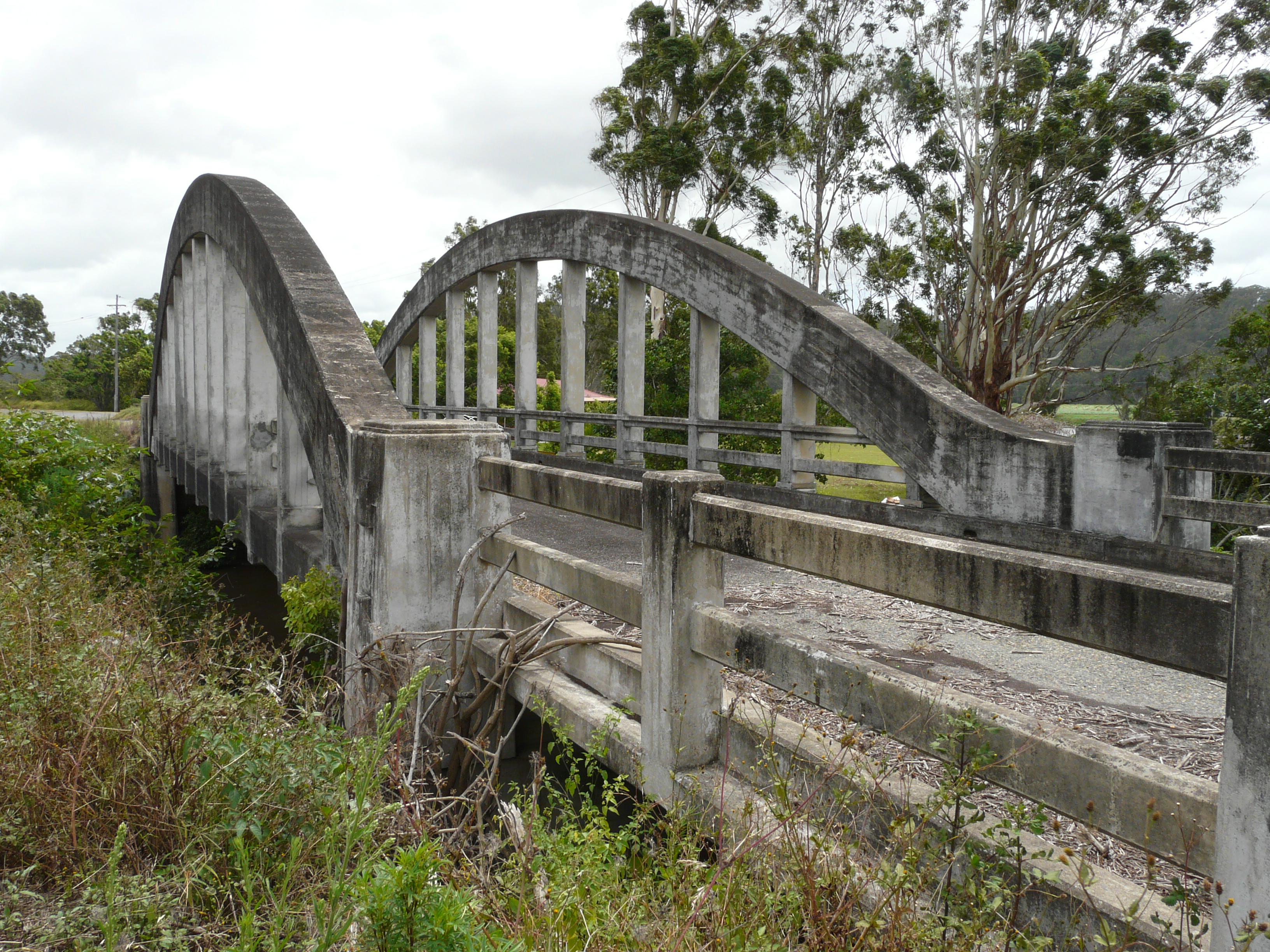 Shark Creek Bridge | |
Shark Creek | |
| Coordinates | 29°27′S 153°12′E |
| Population | 2,600 (2011 census)[1] |
| Postcode(s) | 2463 |
| Location |
|
| LGA(s) | Clarence Valley Council |
| State electorate(s) | Clarence |
| Federal division(s) | Cowper |
References
- Australian Bureau of Statistics (31 October 2012). "Maclean (State Suburb)". 2011 Census QuickStats. Retrieved 3 February 2014.
This New South Wales geography article is a stub. You can help Wikipedia by expanding it. |
Текст в блоке "Читать" взят с сайта "Википедия" и доступен по лицензии Creative Commons Attribution-ShareAlike; в отдельных случаях могут действовать дополнительные условия.
Другой контент может иметь иную лицензию. Перед использованием материалов сайта WikiSort.org внимательно изучите правила лицензирования конкретных элементов наполнения сайта.
Другой контент может иметь иную лицензию. Перед использованием материалов сайта WikiSort.org внимательно изучите правила лицензирования конкретных элементов наполнения сайта.
2019-2025
WikiSort.org - проект по пересортировке и дополнению контента Википедии
WikiSort.org - проект по пересортировке и дополнению контента Википедии