world.wikisort.org - Australia
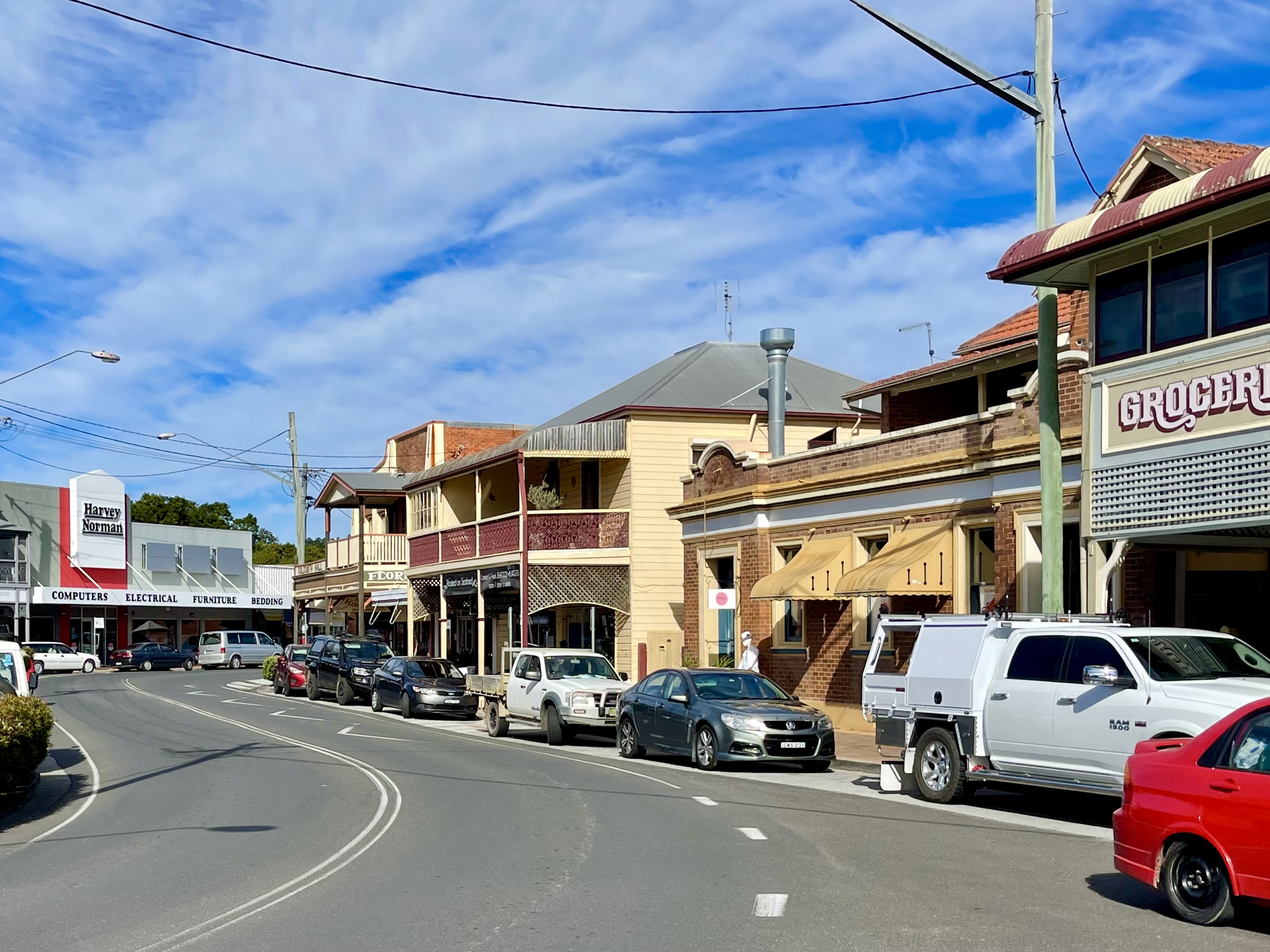
Maclean is a town in Clarence Valley local government area in the Northern Rivers region of New South Wales, Australia. It is on the Clarence River and near the Pacific Highway. At the 2021 census, Maclean had a population of 2,778,[1] total urban area including Townsend and Gulmarrad (postcode 2463) is more than 8,304[2]. The Maclean, Yamba and Iluka area known as the Lower Clarence had a combined population of 17,533.[3] Its industries are tourism, sugar cane production, farming and river-prawn trawling. Together with Grafton, Maclean is the shared administrative centre for the Clarence Valley Council local government area.
| Maclean New South Wales | |
|---|---|
 St Mary's Catholic Church | |
Maclean | |
| Coordinates | 29°27′S 153°12′E |
| Population | 2,778,[1] The total urban area inc contiguous suburbs, Townsend & Gulmarrad (2463 postcode) is 8,304[2] (2021 census) |
| Postcode(s) | 2463 |
| Elevation | 9 m (30 ft) |
| Location | |
| LGA(s) | Clarence Valley Council |
| State electorate(s) | Clarence |
| Federal division(s) | Page |
Geography
Maclean is nestled at the base of Mt Maclean and the shoreline of the Clarence River where the river reunites after splitting around Woodford Island. A bridge connects Woodford Island to Maclean. It is part of the Tourist Drive 22. During times of heavy rain the town is under threat of flooding by the surging waters of the river.
The Pacific Highway bypass of Maclean was opened in 1966 in conjunction with the first Harwood Bridge over the South Channel of the Clarence. The bypass was duplicated and the bridge superseded by a four-lane bridge in 2020 (the 1966 bridge has been retained for local traffic).
History
The area was originally inhabited by the Gumbaingirr or Yaygir indigenous peoples. Matthew Flinders landed near the mouth of the Clarence River in 1798.
Cedar cutting began in the area in the 1830s. The Maclean area was known as Rocky Mouth in the 1850s. The township was officially laid out in 1862 and named after Alexander Grant McLean, the Surveyor-General. The sugar industry began to develop around 1865.
Heritage listings
Maclean has a number of heritage-listed sites, including:
- Clarence River by North Arm: Ulgundahi Island[4]
Culture
The popular Maclean Highland Gathering has been held for over 100 years during the Easter weekend. Participants and bands contest traditional Scottish athletic and cultural competitions, such as caber tossing, highland dancing, band competition, and bagpiping. The "Maclean, The Scottish Town In Australia Association", is a community group which was formed in 1986 under the initiative of former bank manager Mr Graham Leach, and works to promote Maclean's strong Scottish origins. The work of this committee over the years has ensured that Maclean now has national and international recognition as 'The Scottish Town' in Australia.
Many street signs are written in English and Scottish Gaelic, power poles are painted with tartan patterns, and a stone cairn has been erected in Herb Stanford Park.
Schools
- Maclean Public School
- St Joseph's Primary School
- Pacific Valley Christian School
- Maclean High School
Newspapers
- The Daily Examiner
- The Coastal Views
- Clarence Valley Review
- The Independent
- The Northern Rivers Times
References
- Australian Bureau of Statistics (28 June 2022). "Maclean". 2021 Census QuickStats. Retrieved 28 June 2022.
- Australian Bureau of Statistics (28 June 2022). "2463, NSW". 2021 Census QuickStats. Retrieved 28 June 2022.
- Australian Bureau of Statistics (28 June 2022). "Maclean – Yamba – Iluka". 2021 Census QuickStats. Retrieved 28 June 2022.
- "Ulgundahi Island". New South Wales State Heritage Register. Department of Planning and Environment. H01721. Retrieved 18 May 2018.
 Text is licensed by State of New South Wales (Department of Planning and Environment) under CC-BY 4.0 licence.
External links
- Clarence Valley Council Website
- Clarence Valley Tourism Website
- Maclean, Australian Heritage
- Maclean, The Sydney Morning Herald, 8 February 2004
Authority control | |
|---|---|
| General | |
| National libraries | |
| Other |
|
Другой контент может иметь иную лицензию. Перед использованием материалов сайта WikiSort.org внимательно изучите правила лицензирования конкретных элементов наполнения сайта.
WikiSort.org - проект по пересортировке и дополнению контента Википедии