world.wikisort.org - Australia
Panitya is a locality situated in the Sunraysia region. The place by road, is situated about 23 kilometres east from Pinnaroo and 10 kilometres west from Carina on the Mallee Highway.
| Panitya Victoria | |||||||||||||||
|---|---|---|---|---|---|---|---|---|---|---|---|---|---|---|---|
 Entering Panitya | |||||||||||||||
 Panitya | |||||||||||||||
| Coordinates | 35°14′10″S 140°59′30″E | ||||||||||||||
| Population | 65 (2016 census)[1] | ||||||||||||||
| Postcode(s) | 3512 | ||||||||||||||
| Elevation | 91 m (299 ft) | ||||||||||||||
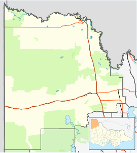
| Location |
| ||||||||||||||
| LGA(s) | Rural City of Mildura | ||||||||||||||
| State electorate(s) | Mildura | ||||||||||||||
| Federal division(s) | Mallee | ||||||||||||||
| |||||||||||||||
Panitya is a railway station on the Ouyen to Pinnaroo line.
The Post Office opened in 1910 and was closed in 1975.[3]
The area of the locality contains a number of smaller areas, namely Panitya East which had a post office open from 1916 until 1933, Berrook which had a post office open from 1929 until 1935, Manya with a post office from 1928 until 1936, Sunset with a post office from 1921 until 1948 and, below the Mallee Highway, Ngallo.[3]
Notes and references
- Australian Bureau of Statistics (27 June 2017). "Panitya (State Suburb)". 2016 Census QuickStats. Retrieved 1 September 2020.
- "Travelmate". Archived from the original on 24 March 2007. Retrieved 7 March 2007.[dead link]
- Phoenix Auctions History, Post Office List, retrieved 18 February 2021
This article about a location in the Loddon Mallee (region) is a stub. You can help Wikipedia by expanding it. |
Текст в блоке "Читать" взят с сайта "Википедия" и доступен по лицензии Creative Commons Attribution-ShareAlike; в отдельных случаях могут действовать дополнительные условия.
Другой контент может иметь иную лицензию. Перед использованием материалов сайта WikiSort.org внимательно изучите правила лицензирования конкретных элементов наполнения сайта.
Другой контент может иметь иную лицензию. Перед использованием материалов сайта WikiSort.org внимательно изучите правила лицензирования конкретных элементов наполнения сайта.
2019-2026
WikiSort.org - проект по пересортировке и дополнению контента Википедии
WikiSort.org - проект по пересортировке и дополнению контента Википедии