world.wikisort.org - Australia
Merrinee is a locality situated in the Sunraysia region. It is situated about 7 kilometres west of Pirlta and 11 kilometres east of Karawinna, on the Red Cliffs-Meringur Road.

| Merrinee Victoria | |||||||||||||||
|---|---|---|---|---|---|---|---|---|---|---|---|---|---|---|---|
 Merrinee | |||||||||||||||
 Merrinee | |||||||||||||||
| Coordinates | 34°22′17″S 141°48′03″E | ||||||||||||||
| Population | 48 (2016 census)[1] | ||||||||||||||
| Postcode(s) | 3496 | ||||||||||||||
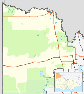
| Location | |||||||||||||||
| LGA(s) | Rural City of Mildura | ||||||||||||||
| Region | Sunraysia | ||||||||||||||
| State electorate(s) | Mildura | ||||||||||||||
| Federal division(s) | Mallee | ||||||||||||||
| |||||||||||||||
The Morkalla railway line opened on 10 April 1924 with a goods, grain and passenger siding,[3] followed by the post office on 30 May 1924.[4] The railway closed in 1988.
The general area contains a number of previous localities which existed when the population was larger, namely Thurla 34°22′S 142°06′E which had a post office open from 1925 until 1940, Benetook 34°22′00″S 142°00′00″E with a post office from 1925 until 1946 and Pirlta 34°21′55″S 141°53′59″E with a post office from 1911 until 1961.[4]
References
- Australian Bureau of Statistics (27 June 2017). "Merrinee (State Suburb)". 2016 Census QuickStats. Retrieved 1 September 2020.
- Travelmate Archived 24 March 2007 at the Wayback Machine[dead link]
- Andrew Waugh (March 2003). "Redcliffs – Meringur" (PDF). Victorian Signalling Histories No 58, Version 1.0. Retrieved 16 June 2014.
- Phoenix Auctions History, Post Office List, retrieved 16 February 2021
This article about a location in the Loddon Mallee (region) is a stub. You can help Wikipedia by expanding it. |
Другой контент может иметь иную лицензию. Перед использованием материалов сайта WikiSort.org внимательно изучите правила лицензирования конкретных элементов наполнения сайта.
WikiSort.org - проект по пересортировке и дополнению контента Википедии