world.wikisort.org - Australia
Mandurang, is a locality in the City of Greater Bendigo,[2] in the Australian state of Victoria. It grew and developed as a goldfield settlement and logging locality, though today mostly consists of small farms and wineries. Mandurang Primary School was opened in 1877 and closed in 1994. The name is derived from an Aboriginal word meaning black cicada.[3]
| Mandurang Victoria | |
|---|---|
 Mandurang Post Office in March 2022 | |
 Mandurang | |
| Coordinates | 36°51′15″S 144°16′52″E |
| Population | 641 (2016 census)[1] |
| Postcode(s) | 3551 |
| LGA(s) | City of Greater Bendigo |
| State electorate(s) | Bendigo East |
| Federal division(s) | Bendigo |
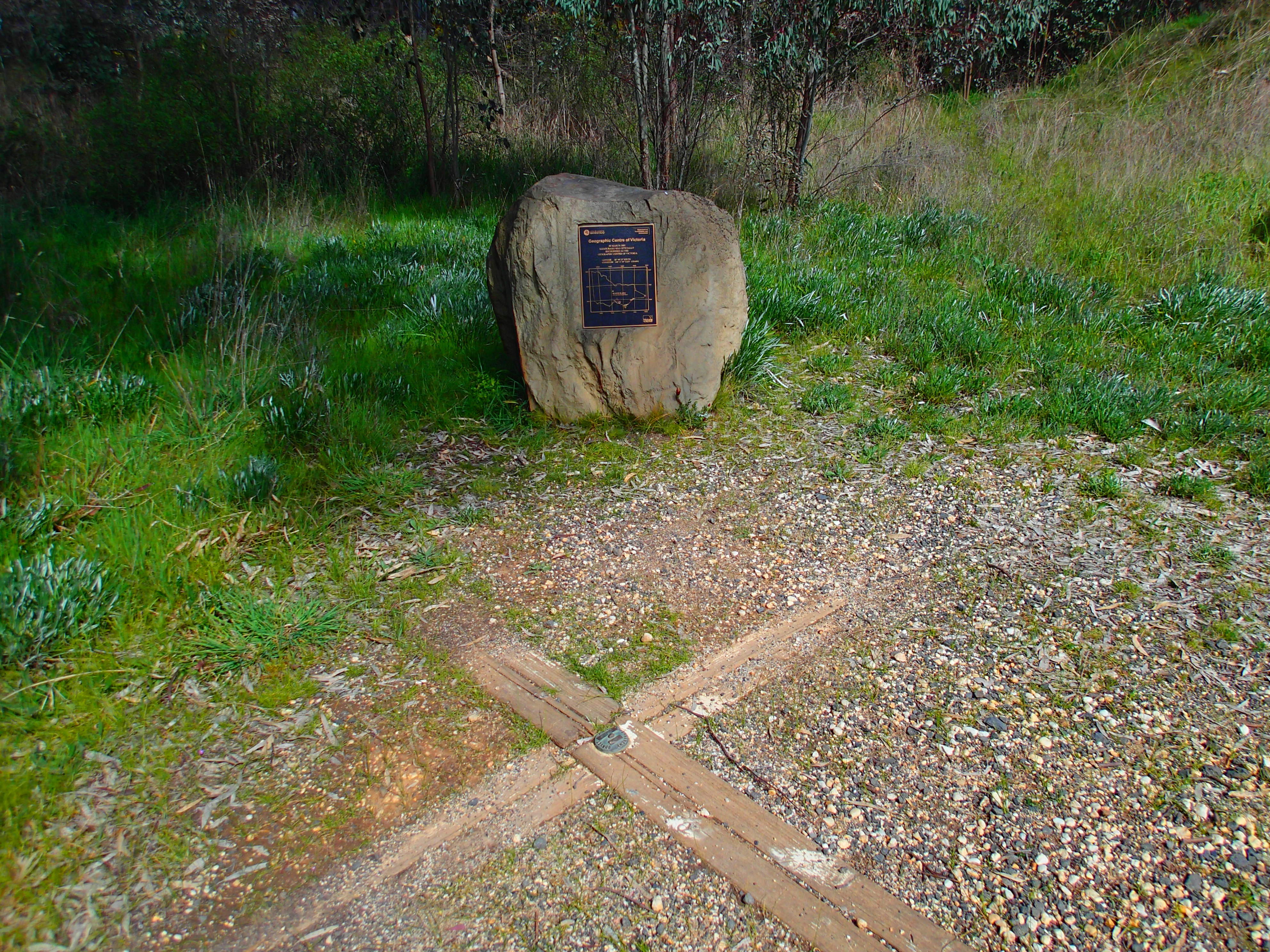
It is 10 km (6 mi) south of Bendigo and is reputed by the government mapping agency, to be the geographic centre of Victoria at 36° 51' 15"S, 144° 16' 52" E. Mandurang is adjacent to the Greater Bendigo National Park and was in the Victorian Electorate of Sandhurst, now known as Bendigo East.
References
- Australian Bureau of Statistics (27 June 2017). "Mandurang (State Suburb)". 2016 Census QuickStats. Retrieved 17 September 2020.
- Map of the county of Bendigo showing colony and parish boundaries, main roads, telegraph lines and railways. 1886, J. Sands.
- "Mandurang | Victorian Places".
This article about a location in Victoria, Australia is a stub. You can help Wikipedia by expanding it. |
Другой контент может иметь иную лицензию. Перед использованием материалов сайта WikiSort.org внимательно изучите правила лицензирования конкретных элементов наполнения сайта.
WikiSort.org - проект по пересортировке и дополнению контента Википедии