world.wikisort.org - Australia
Hattah is a locality in Victoria, Australia located approximately 70 km south of Mildura. Located adjacent to Hattah is the Hattah-Kulkyne National Park.
| Hattah Victoria | |||||||||||||||
|---|---|---|---|---|---|---|---|---|---|---|---|---|---|---|---|
 Hattah | |||||||||||||||
| Coordinates | 34.767°S 142.283°E | ||||||||||||||
| Population | 28 (2016 census)[1] | ||||||||||||||
| Postcode(s) | 3501 | ||||||||||||||
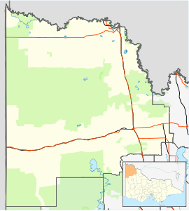
| Location |
| ||||||||||||||
| LGA(s) | Rural City of Mildura | ||||||||||||||
| Region | Sunraysia | ||||||||||||||
| State electorate(s) | Mildura | ||||||||||||||
| Federal division(s) | Mallee | ||||||||||||||
| |||||||||||||||
Hattah had a Post Office for some months in 1903. Later when the railway arrived a Post Office again opened on 15 January 1915 known as Hattah R.S.(for Railway Station) until 1923. This office closed in 1974.[3]
Hattah is about 10 kilometres (6.2 mi) east of the southern part of the Raak Boinka.[4]
References
- Australian Bureau of Statistics (27 June 2017). "Hattah (State Suburb)". 2016 Census QuickStats. Retrieved 1 September 2020.
- "Travelmate". Archived from the original on 1 May 2001. Retrieved 31 May 2008.
- Phoenix Auctions History, Post Office List, retrieved 13 February 2021
- Macumber, Phillip G. (1991), Interactions between groundwater and surface systems in northern Victoria., Department of Conservation and Environment, State of Victoria, p. 261, ISBN 0724197168, retrieved 4 June 2018
This article about a location in the Loddon Mallee (region) is a stub. You can help Wikipedia by expanding it. |
Текст в блоке "Читать" взят с сайта "Википедия" и доступен по лицензии Creative Commons Attribution-ShareAlike; в отдельных случаях могут действовать дополнительные условия.
Другой контент может иметь иную лицензию. Перед использованием материалов сайта WikiSort.org внимательно изучите правила лицензирования конкретных элементов наполнения сайта.
Другой контент может иметь иную лицензию. Перед использованием материалов сайта WikiSort.org внимательно изучите правила лицензирования конкретных элементов наполнения сайта.
2019-2026
WikiSort.org - проект по пересортировке и дополнению контента Википедии
WikiSort.org - проект по пересортировке и дополнению контента Википедии