world.wikisort.org - Australia
Forest Hill is a rural town and locality in the Lockyer Valley Region, Queensland, Australia.[2][3] In the 2016 census, Forest Hill had a population of 968 people.[1]
| Forest Hill Queensland | |||||||||||||||
|---|---|---|---|---|---|---|---|---|---|---|---|---|---|---|---|
 Forest Hill main street | |||||||||||||||
 Forest Hill | |||||||||||||||
| Coordinates | 27.5897°S 152.3555°E | ||||||||||||||
| Population | 968 (2016 census)[1] | ||||||||||||||
| • Density | 36.25/km2 (93.90/sq mi) | ||||||||||||||
| Established | 1880 | ||||||||||||||
| Postcode(s) | 4342 | ||||||||||||||
| Area | 26.7 km2 (10.3 sq mi) | ||||||||||||||
| Location |
| ||||||||||||||
| LGA(s) | Lockyer Valley Region | ||||||||||||||
| State electorate(s) | Lockyer | ||||||||||||||
| Federal division(s) | Wright | ||||||||||||||
| |||||||||||||||
Geography
The town is located 83 kilometres (52 mi) west of the state capital, Brisbane and 53 kilometres (33 mi) east of the regional centre of Toowoomba.
Forest Hill railway station is an abandoned railway station on the Main Line railway (27.5880°S 152.3560°E).[4]
There is an aircraft landing ground between Gatton Laidley Road and the railway line (27.6050°S 152.3726°E).[5]
History

In 1880, AJ Boyd purchased 975 acres (394.6 hectares) of land from the Queensland Government for reportedly five shillings an acre. The land was located approximately six kilometres south from the Main Line railway, towards Woodlands. Boyd named this property Forest Hill, after seeing Allan Cunningham's map of the region where he had marked a "forest hill". A stopping place was established on the Main Line railway to service the property called Boyd's Siding which later changed its name to Forest Hill.[6]

Forest Hill was recorded as a railway station in 1881 and was located one kilometre east down the line from its later location. The railway station moved to its later location in 1886.[6]
The first Forest Hill Post Office opened on 1 February 1890 at the railway station (replacing a receiving office named Forest Hill Siding open since 1889).[7] The office moved to its current site at 40 Victoria Street on 7 January 1908.[6][8]
Forest Hill Provisional School opened on 23 January 1893, becoming a state school in 1899.[9][10]
St Thomas's Anglican Church was dedicated on 2 August 1903 by Archdeacon Arthur Evan David. Its closure on 3 May 2005 was approved by Assistant Bishop Rob Nolan.[11]
Forest Hill was once home to five hotels, a hospital, a bakery and butcher, and was the largest rail freight hub for agricultural produce in Queensland.[citation needed]
The Forest Hill War Memorial was erected to commemorate those in the district who had died or served in World War I. It was unveiled by five mothers of deceased soldiers on 26 March 1921.[12][13]
During the 2010–11 Queensland floods, much of the population of Forest Hill was required to be evacuated by helicopter to nearby Gatton to avoid rapidly rising floodwaters.[14]
In the 2016 census, Forest Hill had a population of 968 people.[1]
Heritage listings

Forest Hill has a number of heritage-listed sites, including:
- 15 Church Street: Forest Hill State School[15]
- Gordon Street: Forest Hill War Memorial[16]
- Victoria Street: Lockyer Hotel[17]
- 3 Victoria Street: Queensland National Bank[18]
- 38 William Street: Forest Hill Hotel[19]
Education
Forest Hill State School is a government primary (Prep-6) school for boys and girls at Church Street (27.5905°S 152.3543°E).[20][21] In 2018, the school had an enrolment of 137 students with 10 teachers (9 full-time equivalent) and 10 non-teaching staff (5 full-time equivalent).[22]
There is no secondary school in Forest Hill. The nearest secondary schools are Laidley State High School in Laidley to the south-east and Lockyer District State High School in Gatton to the west.[23]
Amenities
Forest Hill Post Office is at 40 Victoria Street (27.5901°S 152.3568°E).[24][25] It is also a cafe called Cafe 4342 (the postcode for the area) and gift shop.[8]
Forest Hill's Fire and Rescue Station is at 4 Williams Street beside the railway line (27.5888°S 152.3563°E).[26]
Forest Hill's State Emergency Service facilities are at 24 Railway Street beside Furley Park (27.5872°S 152.3557°E).[26]
St Joseph's Catholic Church is at 8-10 Hunt Street (27.5882°S 152.3587°E).[27]
References
- Australian Bureau of Statistics (27 June 2017). "Forest Hill (SSC)". 2016 Census QuickStats. Retrieved 20 October 2018.
 Material was copied from this source, which is available under a Creative Commons Attribution 4.0 International License Archived 16 October 2017 at the Wayback Machine
 - "Forest Hill – town in Lockyer Valley Region (entry 12879)". Queensland Place Names. Queensland Government. Retrieved 18 September 2020.
- "Forest Hill – locality in Lockyer Valley Region (entry 44953)". Queensland Place Names. Queensland Government. Retrieved 18 September 2020.
- "Railway stations and sidings - Queensland". Queensland Open Data. Queensland Government. 2 October 2020. Archived from the original on 5 October 2020. Retrieved 5 October 2020.
- "Heliports and landing grounds - Queensland". Queensland Open Data. Queensland Government. 22 October 2020. Archived from the original on 16 November 2020. Retrieved 3 November 2020.
- Forest Hill District (1993). Celebrating 100 Years. Forest Hill State School Centenary Committee. ISBN 0-646-14752-8.
- Premier Postal History. "Post Office List". Premier Postal Auctions. Archived from the original on 15 May 2014. Retrieved 10 May 2014.
- "Forest Hill Post Office, Gift Shop & Cafe 4342". Lockyer Valley Visitor Information Centre. Archived from the original on 16 November 2020. Retrieved 16 November 2020.
- "Opening and closing dates of Queensland Schools". Queensland Government. Retrieved 18 April 2019.
- "Agency ID 5222, Forest Hill State School". Queensland State Archives. Retrieved 26 May 2014.
- "Closed Churches". Anglican Church of Southern Queensland. Archived from the original on 3 April 2019. Retrieved 24 February 2019.
{{cite web}}: CS1 maint: unfit URL (link) - "Forest Hill War Memorial". Monument Australia. Archived from the original on 7 April 2014. Retrieved 6 April 2014.
- "FOREST HILL SOLDIERS' MEMORIAL". Queensland Times (Ipswich) (Qld. : 1909 - 1954). Ipswich, Qld.: National Library of Australia. 29 March 1921. p. 4 Edition: DAILY. Archived from the original on 25 May 2022. Retrieved 6 April 2014.
- Milovanovic, Selma (11 January 2011). "Brisbane braces for flood disaster". Brisbane Times. Archived from the original on 25 May 2022. Retrieved 11 January 2011.
- "Forest Hill State School (entry 602851)". Queensland Heritage Register. Queensland Heritage Council. Retrieved 23 December 2017.
- "Forest Hill War Memorial (entry 600649)". Queensland Heritage Register. Queensland Heritage Council. Retrieved 10 July 2013.
- "Lockyer Hotel (entry 600650)". Queensland Heritage Register. Queensland Heritage Council. Retrieved 10 July 2013.
- "Shop, 3 Victoria Street, Forest Hill (entry 600651)". Queensland Heritage Register. Queensland Heritage Council. Retrieved 10 July 2013.
- "Forest Hill Hotel (entry 600652)". Queensland Heritage Register. Queensland Heritage Council. Retrieved 10 July 2013.
- "State and non-state school details". Queensland Government. 9 July 2018. Archived from the original on 21 November 2018. Retrieved 21 November 2018.
- "Forest Hill State School". Archived from the original on 20 April 2013. Retrieved 21 November 2018.
- "ACARA School Profile 2018". Australian Curriculum, Assessment and Reporting Authority. Archived from the original on 27 August 2020. Retrieved 28 January 2020.
- "Queensland Globe". State of Queensland. Retrieved 16 November 2020.
- "Community facilities - Queensland". Queensland Open Data. Queensland Government. 22 October 2020. Archived from the original on 23 October 2020. Retrieved 23 October 2020.
- "Forest Hill LPO". Australia Post. Archived from the original on 25 May 2022. Retrieved 16 November 2020.
- "Emergency services facilities - Queensland". Queensland Open Data. Queensland Government. 12 November 2020. Archived from the original on 15 November 2020. Retrieved 12 November 2020.
- "Our Churches". Our Lady of the Valley Catholic Parish. Archived from the original on 5 December 2020. Retrieved 17 February 2021.
Further reading
- Forest Hill State School (1993), Celebrating 100 years : Forest Hill district, Forest Hill State School Centenary Committee, ISBN 978-0-646-14752-9
External links
- "Forest Hill". Queensland Places. Centre for the Government of Queensland, University of Queensland.
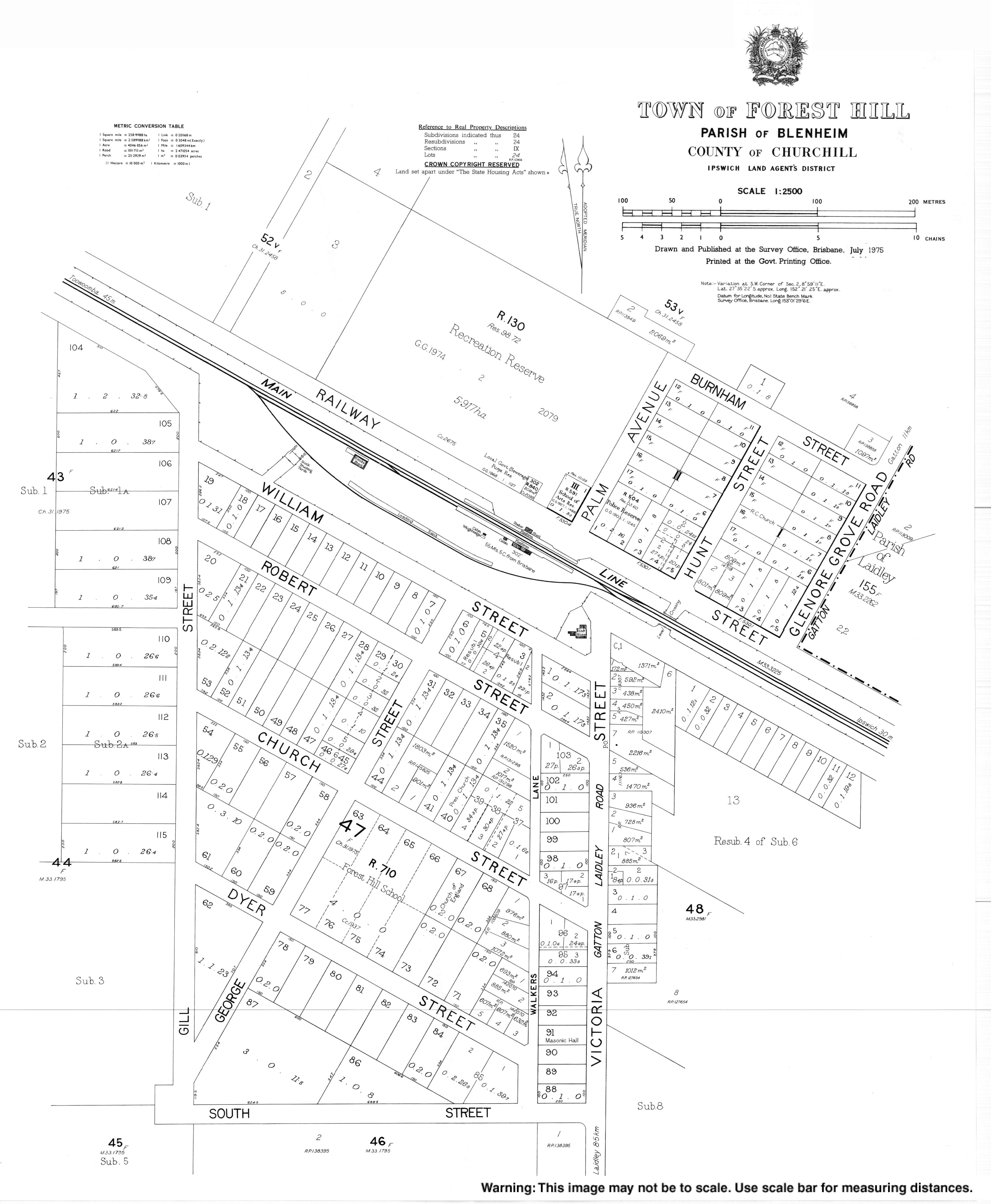
- "Town map of Forest Hill". Queensland Government. 1975.
Другой контент может иметь иную лицензию. Перед использованием материалов сайта WikiSort.org внимательно изучите правила лицензирования конкретных элементов наполнения сайта.
WikiSort.org - проект по пересортировке и дополнению контента Википедии