world.wikisort.org - Australia
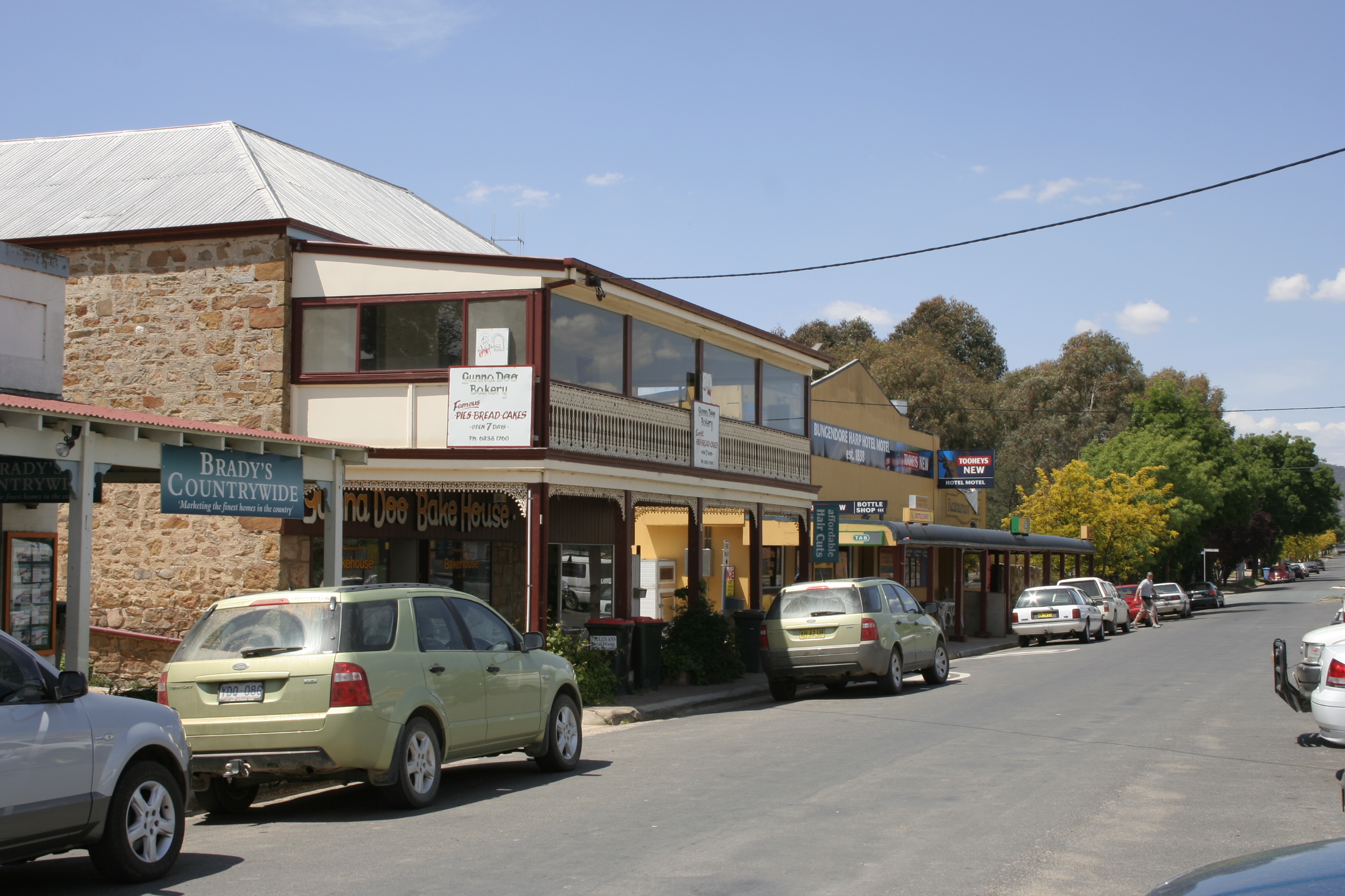
Bungendore is a town in the Queanbeyan Region of New South Wales, Australia, in Queanbeyan-Palerang Regional Council. It is on the Kings Highway near Lake George, the Molonglo River Valley and the Australian Capital Territory border. It has become a major tourist centre in recent years, popular with visitors from Canberra and some of it has heritage protection. It has expanded rapidly in recent years as a dormitory town of Canberra.
| Bungendore New South Wales | |||||||||||||||
|---|---|---|---|---|---|---|---|---|---|---|---|---|---|---|---|
 Gibraltar Street | |||||||||||||||
Bungendore | |||||||||||||||
| Coordinates | 35°15′0″S 149°27′0″E | ||||||||||||||
| Population | 4,745 (2021 census)[1] | ||||||||||||||
| Established | 1837 | ||||||||||||||
| Postcode(s) | 2621 | ||||||||||||||
| Elevation | 700 m (2,297 ft) | ||||||||||||||
| Location |
| ||||||||||||||
| LGA(s) | Queanbeyan-Palerang Regional Council | ||||||||||||||
| County | Murray | ||||||||||||||
| Parish |
| ||||||||||||||
| State electorate(s) | Monaro | ||||||||||||||
| Federal division(s) | Eden-Monaro | ||||||||||||||
| |||||||||||||||
| |||||||||||||||
History

Prior to European settlement, the area was occupied by the Ngarigo people, whose northernmost lands extended to the southern shore of Lake George and around the base of the steep escarpment lying to the west of what is now Bungendore.[2][3][4]
The first Europeans in the vicinity were members of the exploratory party of Dr Charles Throsby in 1820, who, along with Hamilton Hume, also originally explored the Braidwood area. In 1824, explorer Allan Cunningham passed through Bungendore. A year later, the first European settlers arrived. The mail service to Bungendore was introduced in 1837, enhancing the importance of the village and contributing to the proclamation of Bungendore as a "town" in the same year. Also in 1837, the surveyor James Larmer laid out the Georgian-influenced grid town plan of Bungendore.[5]
By 1848, 30 people populated the seven buildings in the town of Bungendore.[citation needed] When the railway arrived on 4 March 1885, the town began to grow more quickly.[6] New buildings appeared rapidly, such as churches, the courthouse/police station, two schools and the post office.
The first post office was built in Bungendore in 1840, an Anglican church c 1843, and the Bungendore Inn in 1847. The latter became a Pooley and Malone staging post. By 1851, the population was 63. The 1850s saw at least two other hotels established. A flour mill was built in 1861, St Mary's Roman Catholic Church and two denominational schools in 1862, the courthouse in 1864 and a public school in 1868. In 1866, local crops grown were recorded as being wheat, oats, barley and potatoes. Tourism is now a major contributor to the economy.
The town remained a railhead from 1885 until the line reached Queanbeyan in 1887.[7] Partly because of the coming railway, the 1880s proved a boom period for the town and the population increased from 270 in 1881, to 700 by 1885. By then, Queanbeyan was emerging as the major town in the area. Bungendore was proclaimed a village for a second time, in 1885, as a consequence of the Crown Lands Act 1884.[8][9]
In 1894, gold was discovered at Bywong. In 1901, a site known as "Lake George", just to the north of Bungendore and adjacent to Lake George, was proposed as the site for the nation's capital city.[10] This did not eventuate, as the drawcard of Lake George failed to impress the visiting Commissioners of the time.
By 1909 rabbit trapping had become an extremely valuable industry in the area around Bungendore. The town itself had a rabbit-freezing plant that employed 14 workers and over 250 trappers. In the year ending 31 July 1909, over 1.5 million rabbits were frozen at Bungendore.[11]
In 1992 journalist Ian McPhedran wrote that Bungendore's locals and business sector had developed a method of community cooperation superior to most other Australian small towns.[12]
On 29 January 2017 at the Werriwa Wiener Dash, an event held as part of the annual Bungendore Show, Bungendore set the record for the most number of dachshunds in one place outside of a Dog Show with 154 dachshunds in attendance.[13]
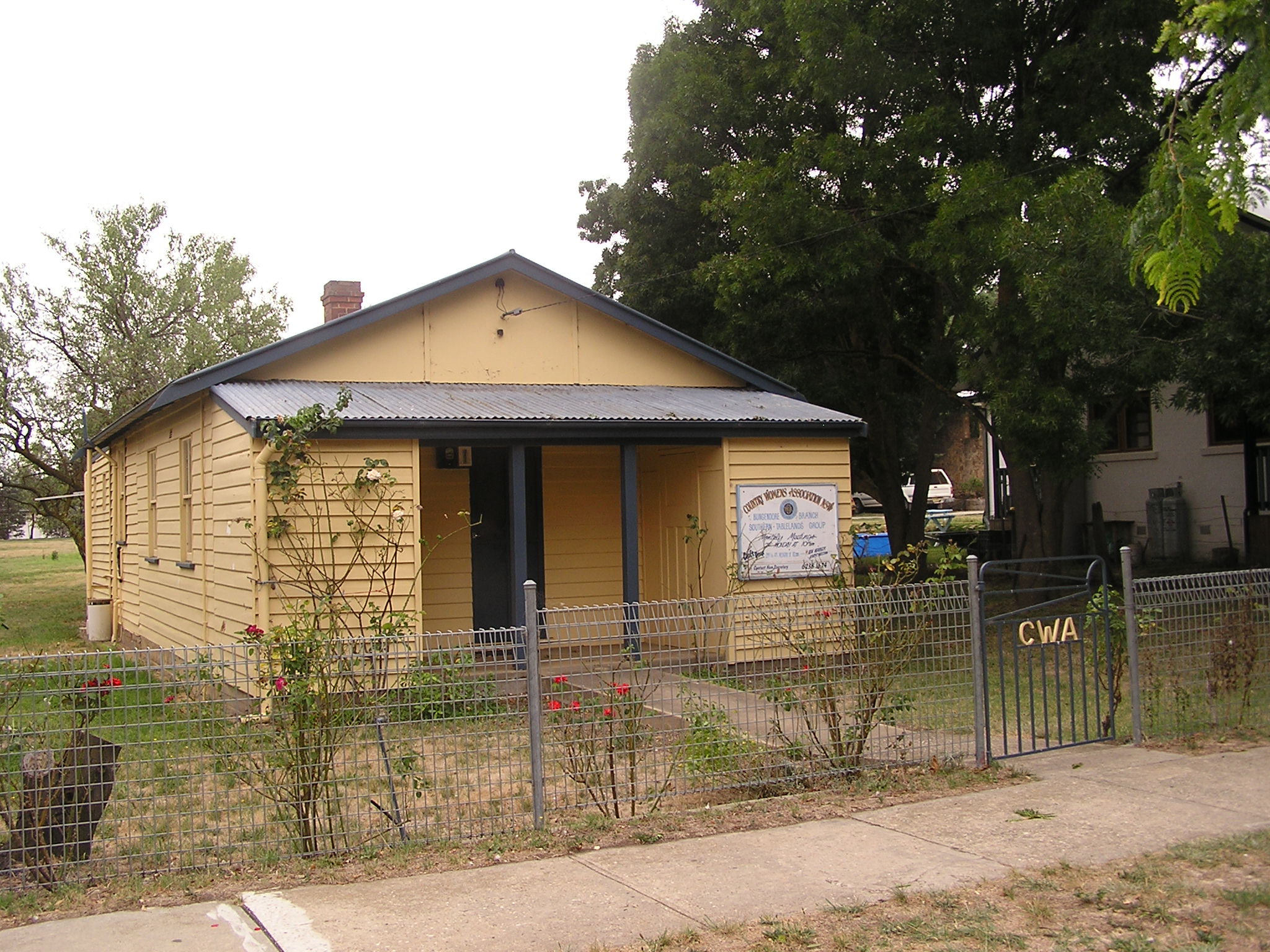
Heritage listings
Bungendore has a number of heritage-listed sites, including:
- Gibraltar Street: Bungendore railway station[14]
Village Green
Claimed as a 'unique green space' by a local activist group, the area was identified as a "council property being an internal disused area with two dilapidated sheds" by the Queanbeyan-Palerang Mayor Tim Overall, who clarified that "it would not be accurate to describe it as green space on the main road”.
The car park was completed in 2021 and is often seen brimming with visitors of the many attractions that Bungendore has to offer.
Population
Ar the 2021 census, there were 4,745 people in Bungendore. 83.5% of people were born in Australia. The next most common country of birth was England at 4.8%. 92.7% of people spoke only English at home. The most common responses for religion were No Religion 44.7%, Catholic 23.0% and Anglican 15.9%.[1]
Geography
Bungendore is quite near a hill known as Gibraltar Hill.[15] and is located close to the Great Dividing Range where it traverses the Butmaroo Range, some 10 km to the East, not far from the Butmaroo Homestead.
Bungendore experiences a relatively sunny and dry oceanic climate (Cfb), similar to nearby Goulburn and Canberra. Bungendore's location in a broad valley surrounded by the peaks of the Great Dividing Range to the east often protects the town from inclement weather such as severe thunderstorms, and heavy rainfall arriving from the Tasman Sea. Bungendore is also affected by the strong rain shadow cast by the Brindabella Range, which blocks most precipitation arriving from the west and southwest. Persistent cloud cover and drizzle is rare in Bungendore due to these rain shadows. Most of Bungendore's significant rainfall is therefore derived from systems originating in the northwest.
Warm to hot summer days are often tempered by afternoon and evening easterly breezes, though the onset in Bungendore is later than in nearby Braidwood, New South Wales[16]
Capital Wind Farm

In 2008, following some community concerns[17] the Capital Wind Farm was established north of Bungendore along Lake George.
Railways

Bungendore railway station is served by three daily NSW TrainLink Xplorer services in each direction operating between Sydney and Canberra.[18]
References
- Australian Bureau of Statistics (28 June 2022). "Bungendore". 2021 Census QuickStats. Retrieved 26 September 2022.
- "About the Ngambri - refer to map of sites for Ngarigo-speakers". www.ngambri.org. Archived from the original on 22 February 2015. Retrieved 19 January 2022.
- Studies, Australian Institute of Aboriginal and Torres Strait Islander (10 January 2021). "Map of Indigenous Australia". aiatsis.gov.au. Retrieved 19 January 2022.
- "Bungendore · New South Wales 2621, Australia - Terrain view". Google Maps. Retrieved 19 January 2022.
{{cite web}}: CS1 maint: url-status (link) - "Proclaimed a town in 1836". Canberra Times (ACT : 1926 - 1995). 11 October 1992. p. 19. Retrieved 14 July 2020.
- 1885 'Opening of the Railway from Tarago to Bungendore.', The Sydney Morning Herald (NSW : 1842 - 1954), 5 March, p. 5, viewed 17 February, 2012
- 1887 'Queanbeyan Railway Opening.', Australian Town and Country Journal (NSW : 1870 - 1907), 10 September, p. 17, viewed 17 February, 2012,
- "Government Gazette Proclamations and Legislation". New South Wales Government Gazette (Sydney, NSW : 1832 - 1900). 20 March 1885. p. 1853. Retrieved 18 December 2020.
- "Map of the village of Bungendore, Parish of Wamboin, County of Murray : Land District of Queanbeyan, Yarrowlumla Shire N.S.W. 1931". Trove. Retrieved 18 December 2020.
- Commonwealth Parliament, Canberra. "Proposed Federal Capital sites". www.aph.gov.au. Retrieved 13 September 2020.
- New South Wales. State Labour Bureau (1906). Annual Report. p. 41.
- McPhedran, Ian (11 October 1992). "Big plans for Bungendore". The Canberra Times. p. 19.
- Ellery, David (29 January 2017). "Sausage dogs on the run at Bungendore Show's second wiener dash". Canberra Times. Retrieved 1 February 2017.
- "Bungendore Railway Station and yard group". New South Wales State Heritage Register. Office of Environment & Heritage. H01105. Retrieved 18 May 2018.
- "Bungendore". Geographical Names Register (GNR) of NSW. Geographical Names Board of New South Wales. Retrieved 31 October 2012.
- Mills, Graham (September 2007). "'On easterly changes over elevated terrain in Australia's southeast". Australian Meteorological Magazine. 56 (3): 177–190. Retrieved 11 October 2022.
- The Canberra Times 30 March 2006 - Fierce opposition to huge wind turbines 'scarring' Bungendore landscape Archived 12 August 2008 at the Wayback Machine
- "Southern timetable". NSW Trainlink. 7 September 2019.
| Queanbeyan suburbs |
|
|---|---|
| Localities and rural places |
|
Main Article: Local government areas of New South Wales | |
Authority control | |
|---|---|
| General |
|
| National libraries | |
Другой контент может иметь иную лицензию. Перед использованием материалов сайта WikiSort.org внимательно изучите правила лицензирования конкретных элементов наполнения сайта.
WikiSort.org - проект по пересортировке и дополнению контента Википедии