world.wikisort.org - Australia
Blythdale is a rural town and locality in the Maranoa Region, Queensland, Australia.[2][3] In the 2016 census, Blythdale had a population of 39 people.[1]
| Blythdale Queensland | |||||||||||||||
|---|---|---|---|---|---|---|---|---|---|---|---|---|---|---|---|
 Blythdale | |||||||||||||||
| Coordinates | 26.5794°S 148.9533°E | ||||||||||||||
| Population | 39 (2016 census)[1] | ||||||||||||||
| • Density | 0.300/km2 (0.778/sq mi) | ||||||||||||||
| Postcode(s) | 4455 | ||||||||||||||
| Area | 129.8 km2 (50.1 sq mi) | ||||||||||||||
| Time zone | AEST (UTC+10:00) | ||||||||||||||
| LGA(s) | Maranoa Region | ||||||||||||||
| State electorate(s) | Warrego | ||||||||||||||
| Federal division(s) | Maranoa | ||||||||||||||
| |||||||||||||||
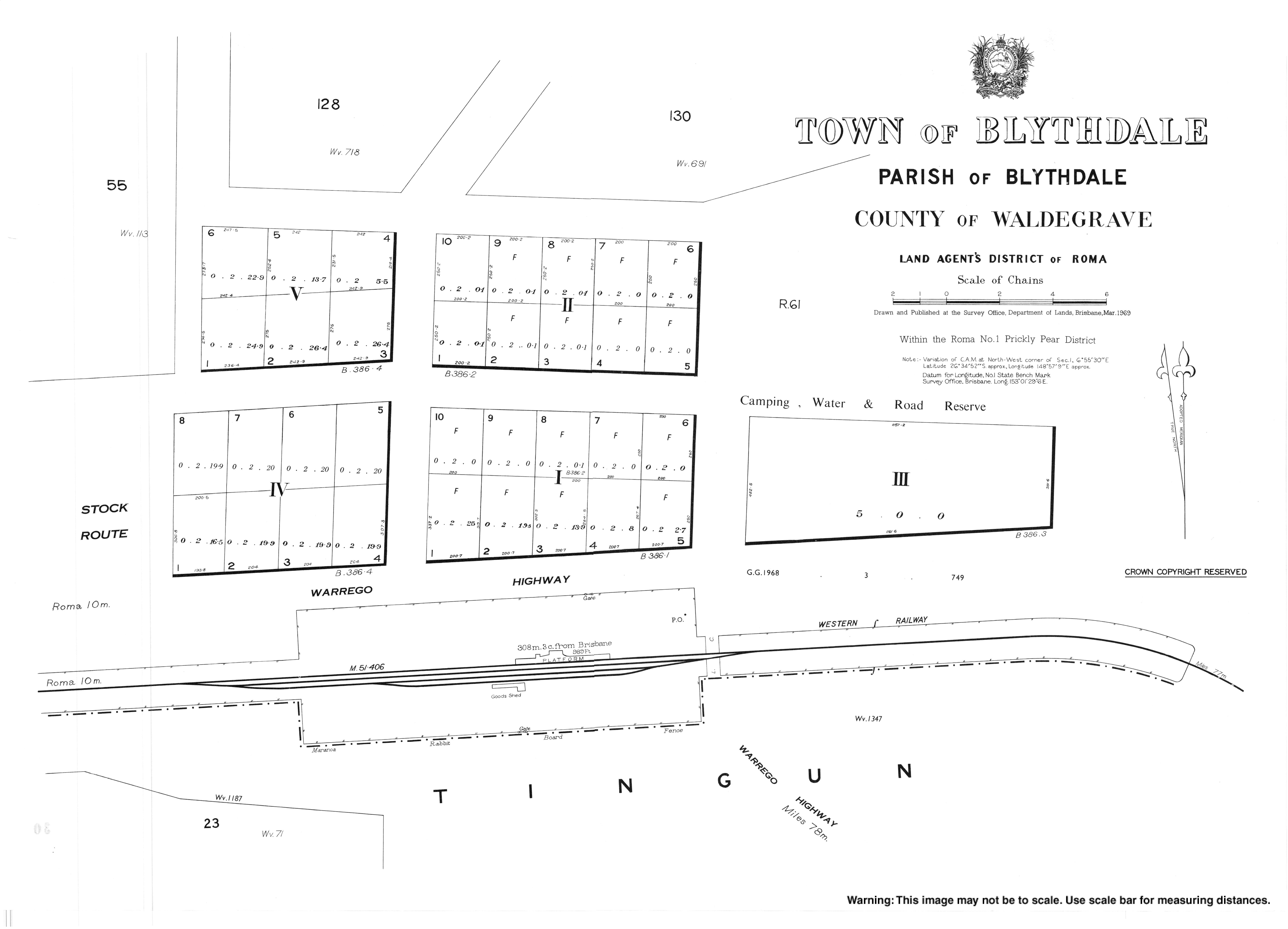
Geography
The locality is bounded to the south by the Western railway line with the town served by Blythdale railway station (26.5814°S 148.9546°E).[4][5]
The Warrego Highway runs immediately north and parallel to the railway line.[5][6]
History
In 1848, James Alexander Blyth(e) tried to establish a pastoral run called "Tingun Station" on Tingun Creek, 12 miles (19 km) west of Roma. During an attack by Aboriginals near the creek, Blythe was thrown from his horse and speared in the leg. He managed to escape and recovered from his wounds, but the attack caused him to give up the pastoral run. It was then taken up by W.P. Gordon and incorporated into his Wallumbilla pastoral run. Some years later John Christian (of the Hunter River District) purchased Tingun Station and installed his nephew Henry Cardell as his manager and partner. Cardell renamed the pastoral run Blythdale and the creek Blyth Creek in honour of Blythe.[2][7][8][9]
In the 2016 census, Blythdale had a population of 39 people.[1]
References
- Australian Bureau of Statistics (27 June 2017). "Blythdale (SSC)". 2016 Census QuickStats. Retrieved 20 October 2018.
- "Blythdale – town in Maranoa Region (entry 3357)". Queensland Place Names. Queensland Government. Retrieved 2 November 2019.
- "Blythdale – locality in Maranoa Region (entry 49162)". Queensland Place Names. Queensland Government. Retrieved 2 November 2019.
- "Railway stations and sidings - Queensland". Queensland Open Data. Queensland Government. 2 October 2020. Archived from the original on 5 October 2020. Retrieved 5 October 2020.
- "Queensland Globe". State of Queensland. Retrieved 11 March 2022.
- Google (20 August 2021). "Blythdale, Queensland" (Map). Google Maps. Google. Retrieved 20 August 2021.
- Taylor, R. B (1956). "Early settlement in the Surat-Mount Abundance area". Journal (Historical Society of Queensland). 5 (pt.4): 1240–1253. ISSN 1837-8366.
- "TO THE EDITOR". The Brisbane Courier. No. 18, 401. Queensland, Australia. 6 January 1917. p. 13. Archived from the original on 13 March 2022. Retrieved 2 November 2019 – via National Library of Australia.
- McManus, Mary A (1969). Reminiscences of the early settlement in the Maranoa district. Charleville Times. pp. 10–11. Archived from the original on 13 March 2022. Retrieved 2 November 2019.
External links
Другой контент может иметь иную лицензию. Перед использованием материалов сайта WikiSort.org внимательно изучите правила лицензирования конкретных элементов наполнения сайта.
WikiSort.org - проект по пересортировке и дополнению контента Википедии