world.wikisort.org - Australia
Womalilla is a rural town and locality in the Maranoa Region, Queensland, Australia.[2][3] In the 2016 census the locality of Womalilla had a population of 39 people.[1]
| Womalilla Queensland | |||||||||||||||
|---|---|---|---|---|---|---|---|---|---|---|---|---|---|---|---|
 Womalilla | |||||||||||||||
| Coordinates | 26.4997°S 147.8172°E | ||||||||||||||
| Population | 39 (2016 census locality)[1] | ||||||||||||||
| • Density | 0.0320/km2 (0.0829/sq mi) | ||||||||||||||
| Postcode(s) | 4465 | ||||||||||||||
| Area | 1,219.0 km2 (470.7 sq mi) | ||||||||||||||
| Time zone | AEST (UTC+10:00) | ||||||||||||||
| LGA(s) | Maranoa Region | ||||||||||||||
| State electorate(s) | Warrego | ||||||||||||||
| Federal division(s) | Maranoa | ||||||||||||||
| |||||||||||||||
Geography
Womalilla Creek rise through the locality in the north-west and flows south-east to become a tributary of the Maranoa River.[4]
Road infrastructure
The Warrego Highway runs through from east to west.[5]
History
The town's name is derived from a pastoral run name used from 1862, reportedly an Aboriginal word group for trees by a creek (from womal meaning tree/timber and illa meaning creek).[2]
Womalilla Creek No 1 Provisional School and Womalilla Creek No 2 Provisional School were to be opened together in 1913 to operate as a pair of part-time schools (meaning they would share one teacher between the two schools. However, the No 2 school opened on 24 August 1913 but it was not until 3 July 1914 that the No 1 school opened. Both schools closed in 1929 due to low student numbers.[6]
On 17 April 1935 the new Womalilla Provisional School opened and operated on a full-time basis. In 1937 it became Womalilla State School. The school closed in 1954.[6][7]
In the 2016 census the locality of Womalilla had a population of 39 people.[1]
References
- Australian Bureau of Statistics (27 June 2017). "Womalilla (SSC)". 2016 Census QuickStats. Retrieved 20 October 2018.
- "Womalilla – town in Maranoa Region (entry 37849)". Queensland Place Names. Queensland Government. Retrieved 28 December 2020.
- "Womalilla – locality in Maranoa Region (entry 47469)". Queensland Place Names. Queensland Government. Retrieved 28 December 2020.
- "Queensland Globe". State of Queensland. Retrieved 2 January 2018.
- Google (1 October 2021). "Womalilla, Queensland" (Map). Google Maps. Google. Retrieved 1 October 2021.
- Queensland Family History Society (2010), Queensland schools past and present (Version 1.01 ed.), Queensland Family History Society, ISBN 978-1-921171-26-0
- "Agency ID 9280, Womalilla State School". Queensland State Archives. Retrieved 28 January 2021.
External links
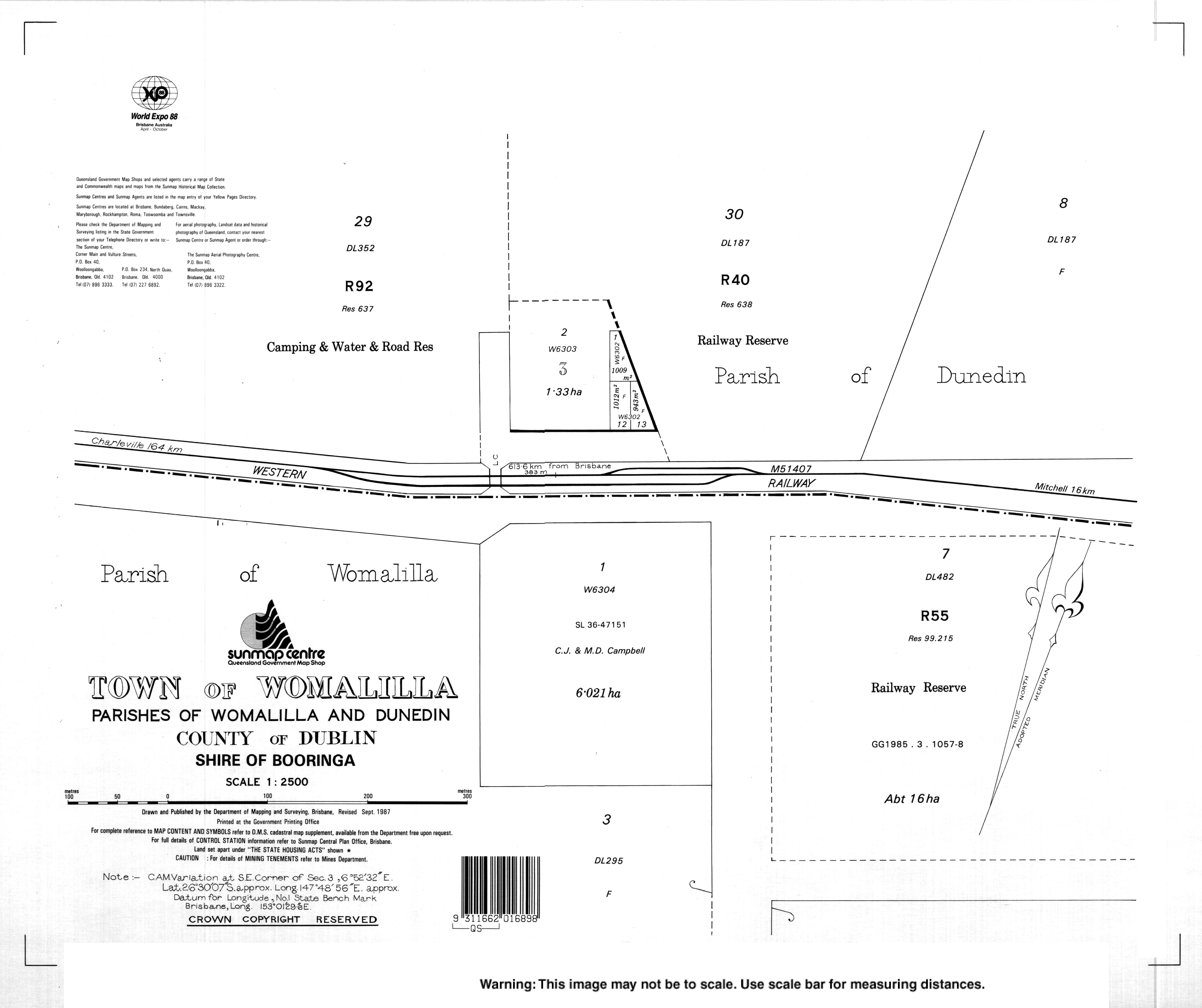
- "Town map of Womalilla". Queensland Government. 1987.
Другой контент может иметь иную лицензию. Перед использованием материалов сайта WikiSort.org внимательно изучите правила лицензирования конкретных элементов наполнения сайта.
WikiSort.org - проект по пересортировке и дополнению контента Википедии