world.wikisort.org - Australia
Berrinba is a suburb in Logan City, Queensland, Australia.[2] In the 2016 census, Berrinba had a population of 1,345 people.[1]
| Berrinba Logan City, Queensland | |||||||||||||||
|---|---|---|---|---|---|---|---|---|---|---|---|---|---|---|---|
 Berrinba Wetlands picnic area, 2014 | |||||||||||||||
 Berrinba | |||||||||||||||
| Coordinates | 27.6588°S 153.0761°E | ||||||||||||||
| Population | 1,345 (2016 census)[1] | ||||||||||||||
| • Density | 228.0/km2 (590/sq mi) | ||||||||||||||
| Established | 1971 | ||||||||||||||
| Postcode(s) | 4117 | ||||||||||||||
| Area | 5.9 km2 (2.3 sq mi) | ||||||||||||||
| Time zone | AEST (UTC+10:00) | ||||||||||||||
| Location |
| ||||||||||||||
| LGA(s) | Logan City | ||||||||||||||
| State electorate(s) | Woodridge | ||||||||||||||
| Federal division(s) | Rankin | ||||||||||||||
| |||||||||||||||
History
Berrinba was named as a suburb within the City of Brisbane on 1 November 1971 by the Queensland Place Names Board.[2] The name Berrinba is an Aboriginal word meaning towards the south.[2]
Berrinba East State School opened on 24 January 1977.[3]
In 1979, Logan City Council and Brisbane City Council agreed to transfer Berrinba to Logan City in 1979, but it was not implemented until January 1997.[4]
Berrinba East State School opened on 24 January 1977.[3]
In the 2011 census, Berrinba had a population of 1,382 people.[5] The population was 51.7% female and 48.3% male.[5] The median age of the Berrinba population was 30 years of age, 7 years below the Australian median.[5] 59.6% of people living in Berrinba were born in Australia, compared to the national average of 69.8%; the next most common countries of birth were New Zealand 6.5%, England 2.7%, India 2%, South Africa 1.8%, Fiji 1.7%.[5] 67.5% of people spoke only English at home; the next most popular languages were 3% Mandarin, 2.2% Cantonese, 2.2% Hindi, 2.2% Arabic, 2.2% Samoan.[5]
In the 2016 census, Berrinba had a population of 1,345 people.[1]
Education
Berrinba East State School is a government primary (Prep-6) school for boys and girls at 165 Bardon Road (27.6521°S 153.0977°E).[6][7] In 2018, the school had an enrolment of 456 students with 35 teachers (33 full-time equivalent) and 21 non-teaching staff (15 full-time equivalent).[8] It includes a special education program.[6]
There is no secondary school in Berrinba. The nearest government secondary school is Woodridge State High School in neighbouring Logan Central to the north-east.[9]
In October 2020 approval was given to Al-Madinah Cultural, Educational and Welfare Institute Limited to establish the IQRA College of Brisbane at 97-109 Bardon Road (27.6499°S 153.0982°E). The school will be a co-education primary school (Prep-6) and expects to open on 24 January 2022.[10]
Amenities
Logan Central Multicultural Uniting Church is at 119 Bardon Road (27.6515°S 153.0983°E).[11] It holds services in English, Samoan, and Tongan.[12]
Wetlands
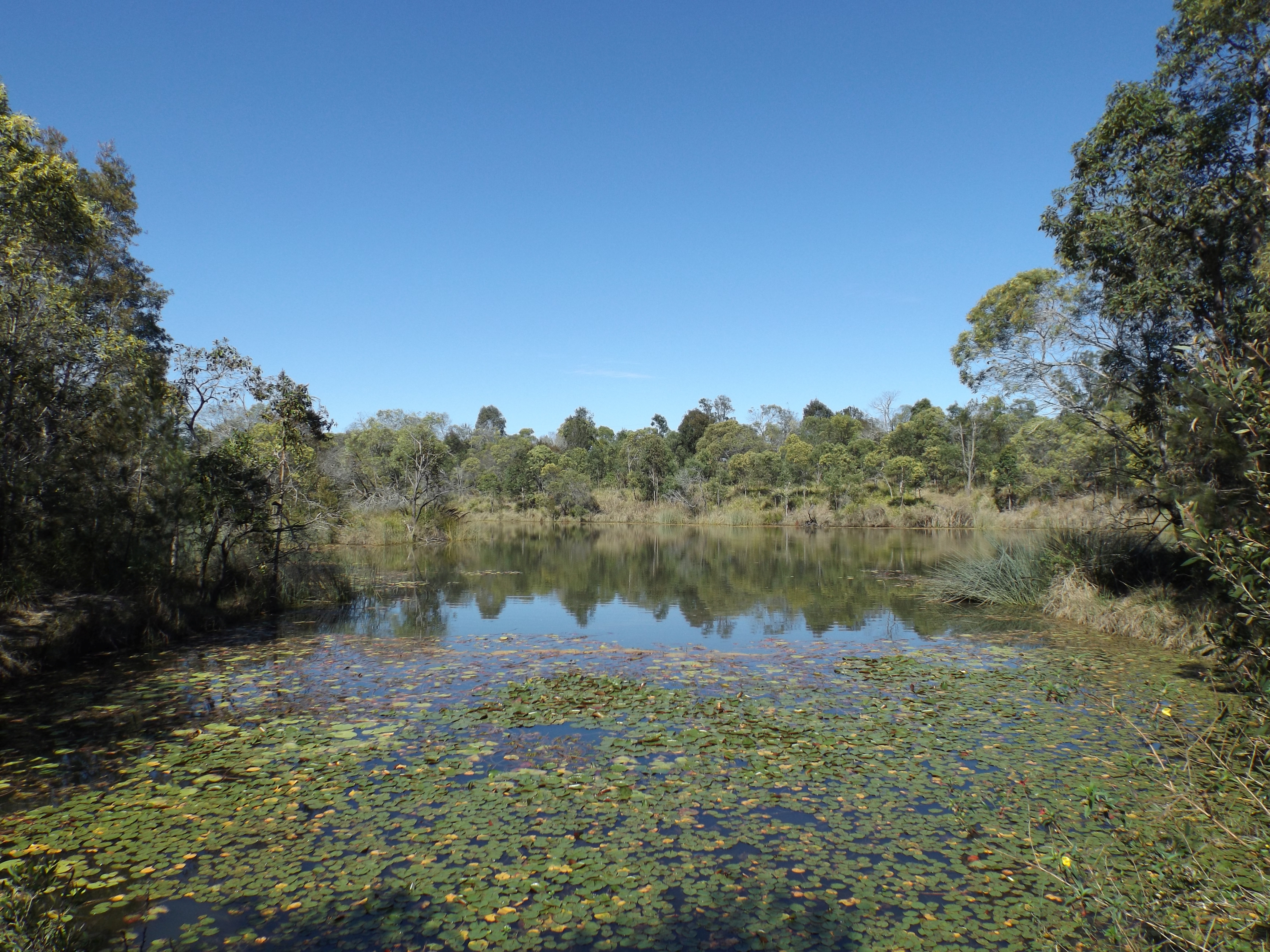
Berrinba Wetlands is a man-made recreational park covering 120 hectares (300 acres) along Scrubby Creek. Scrubby Creek joins Slacks Creek which enters the Logan River. The park contains 8.5 kilometres (5.3 mi) of walkways and bike tracks, nesting boxes and substantial bridges with rails designed to collapse during flooding if required. Non-native trees have been removed and more than 400,000 native plants were planted.[13]
References
- Australian Bureau of Statistics (27 June 2017). "Berrinba (SSC)". 2016 Census QuickStats. Retrieved 20 October 2018.
- "Berrinba – suburb in City of Logan (entry 50311)". Queensland Place Names. Queensland Government. Retrieved 27 December 2020.
- Queensland Family History Society (2010), Queensland schools past and present (Version 1.01 ed.), Queensland Family History Society, ISBN 978-1-921171-26-0
- "Berrinba". Logan City Council. Archived from the original on 9 March 2021. Retrieved 3 April 2021.
- Australian Bureau of Statistics (31 October 2012). "Berrinba (SSC)". 2011 Census QuickStats. Retrieved 3 April 2021.
- "State and non-state school details". Queensland Government. 9 July 2018. Archived from the original on 21 November 2018. Retrieved 21 November 2018.
- "Berrinba East State School". Archived from the original on 20 August 2019. Retrieved 21 November 2018.
- "ACARA School Profile 2018". Australian Curriculum, Assessment and Reporting Authority. Archived from the original on 27 August 2020. Retrieved 28 January 2020.
- "Queensland Globe". State of Queensland. Retrieved 3 April 2021.
- "Current applications - NSSAB". nssab.qld.edu.au. Archived from the original on 5 March 2021. Retrieved 3 April 2021.
- "Find a church". Uniting Church in Australia, Queensland Synod. Archived from the original on 24 October 2020. Retrieved 6 May 2021.
- "Logan Central Multicultural Uniting Church". Archived from the original on 16 March 2021. Retrieved 27 August 2021.
- "Berrinba Wetlands". Logan City Council. Archived from the original on 3 September 2014. Retrieved 3 September 2014.
External links
- "Berrinba". Logan City Council.
Другой контент может иметь иную лицензию. Перед использованием материалов сайта WikiSort.org внимательно изучите правила лицензирования конкретных элементов наполнения сайта.
WikiSort.org - проект по пересортировке и дополнению контента Википедии