world.wikisort.org - Australia
Bethania is a suburb in the City of Logan, Queensland, Australia.[2] In the 2016 census, Bethania had a population of 5,385 people.[1]
| Bethania Logan City, Queensland | |||||||||||||||
|---|---|---|---|---|---|---|---|---|---|---|---|---|---|---|---|
 Albert Street, 2014 | |||||||||||||||
 Bethania | |||||||||||||||
| Coordinates | 27.6869°S 153.1575°E | ||||||||||||||
| Population | 5,385 (2016 census)[1] | ||||||||||||||
| • Density | 928/km2 (2,405/sq mi) | ||||||||||||||
| Postcode(s) | 4205 | ||||||||||||||
| Area | 5.8 km2 (2.2 sq mi) | ||||||||||||||
| Time zone | AEST (UTC+10:00) | ||||||||||||||
| Location | 30 km (19 mi) from Brisbane CBD | ||||||||||||||
| LGA(s) | Logan City | ||||||||||||||
| State electorate(s) | Waterford | ||||||||||||||
| Federal division(s) | Forde | ||||||||||||||
| |||||||||||||||
Geography
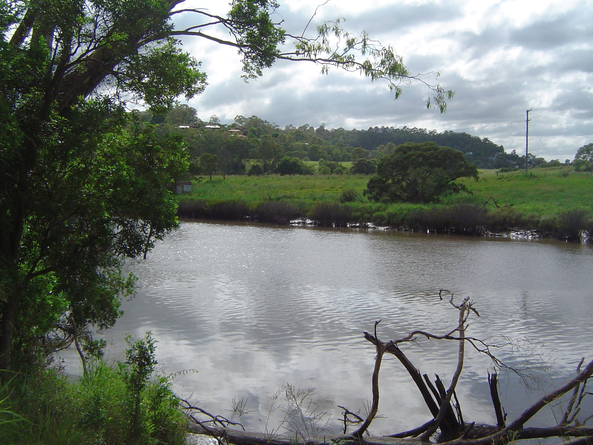
Bethania lies south of the Logan River. The lower lying areas near the river occasionally suffer floods.[3]
Bethania is situated on the main Beenleigh railway line and the suburb is served by Bethania railway station (27.6889°S 153.1592°E).[4]
Beaudesert railway line branches from the South Coast railway line just south of the Bethania railway station at (27.6901°S 153.1600°E) and runs to Beaudesert. It has been out of commission since August 2004.[citation needed]
History

Bethania was founded by Germans during the 1860s and is home to many different nationalities. By 1866 a small township had developed. It is believed the name is derived from Bethany, the biblical village in Israel.[2][5]
A Lutheran church was built in 1864 made from slabs on what is now the railway line. A cemetery was established beside the church with graves from 1866. In 1872 the present church was built close to the first church (27.691361°S 153.161392°E). The road to the church became known as Church Road.[6]
The first railway bridge was destroyed by flood in 1887. A new concrete, steel and timber bridge lasted until 1972 when it was replaced by a pre-stressed concrete bridge.[5]
The suburb was affected badly by the 1974 Brisbane flood. Duck Island became part of the suburb when part of the river was silted up.[5] Sand and gravel has been mined from the alluvial deposits in recent years.[citation needed]
Bethania Lutheran Primary School opened on 27 January 1976.[7]
In the 2011 census, Bethania recorded a population of 4,590 people, 53.3% female and 46.7% male.[8] The median age of the Bethania population was 41 years, 4 years above the national median of 37.[8] 68.7% of people living in Bethania were born in Australia. The other top responses for country of birth were England 6.6%, New Zealand 6%, Scotland 1.4%, Philippines 0.9%, Germany 0.9%.[8] 86.9% of people spoke only English at home; the next most common languages were 0.8% Spanish, 0.5% German, 0.5% Hindi, 0.4% Tagalog, 0.3% Samoan.[8]
In the 2016 census, Bethania had a population of 5,385 people.[1]
Heritage listing
Bethania has a number of heritage-listed sites, including:
- Church Road: Bethania Lutheran Church[6]
Education
Bethania Lutheran Primary School is a private primary (Prep-6) school for boys and girls at 66 Glastonbury Drive (27.6943°S 153.1578°E).[9][10] In 2018, the school had an enrolment of 287 students with 25 teachers (21 full-time equivalent) and 16 non-teaching staff (11 full-time equivalent).[11]
Amenities
Palm Lake Christian Fellowship conduct their services at the Palm Lake Resort at 43 Goodooga Drive; it is part of the Wesleyan Methodist Church.[12]
Transport
Bethania railway station provides access to regular Queensland Rail City network services to Brisbane and Beenleigh.[citation needed]
References
- Australian Bureau of Statistics (27 June 2017). "Bethania (SSC)". 2016 Census QuickStats. Retrieved 20 October 2018.
- "Bethania – suburb in City of Logan (entry 47854)". Queensland Place Names. Queensland Government. Retrieved 27 December 2020.
- "Natural Hazard (Flood) Management Areas - Overlay Map OM17-1" (PDF). Gold Coast City Council. 2008. Archived (PDF) from the original on 5 December 2017. Retrieved 5 December 2017.
- "Bethania – railway station in Logan City (entry 2414)". Queensland Place Names. Queensland Government. Retrieved 2 April 2020.
- Howells, Mary (2003). Logan River Tinnie Trail. Logan City Council. pp. 42, 70–72. ISBN 0975051903.
- "Bethania Lutheran Church (entry 600002)". Queensland Heritage Register. Queensland Heritage Council. Retrieved 10 July 2013.
- Queensland Family History Society (2010), Queensland schools past and present (Version 1.01 ed.), Queensland Family History Society, ISBN 978-1-921171-26-0
- Australian Bureau of Statistics (31 October 2012). "Bethania (State Suburb)". 2011 Census QuickStats. Retrieved 29 April 2013.
- "State and non-state school details". Queensland Government. 9 July 2018. Archived from the original on 21 November 2018. Retrieved 21 November 2018.
- "Bethania Lutheran Primary School". Archived from the original on 5 December 2018. Retrieved 21 November 2018.
- "ACARA School Profile 2018". Australian Curriculum, Assessment and Reporting Authority. Archived from the original on 27 August 2020. Retrieved 28 January 2020.
- "South Queensland". Wesleyan Methodist Church Australia. Archived from the original on 21 August 2021. Retrieved 23 August 2021.
External links
| Wikimedia Commons has media related to Bethania, Queensland. |
- "Bethania". Queensland Places. Centre for the Government of Queensland, University of Queensland.
- "Bethania". Logan City Council.
| Authority control |
|
|---|
Другой контент может иметь иную лицензию. Перед использованием материалов сайта WikiSort.org внимательно изучите правила лицензирования конкретных элементов наполнения сайта.
WikiSort.org - проект по пересортировке и дополнению контента Википедии