world.wikisort.org - United_Kingdom
Craichie (previously Craquhy) is a hamlet in the parish of Dunnichen, Angus, Scotland. Craichie is three miles south-east of Forfar and two miles south-west of Letham, at a junction on the B9128 Carnoustie to Forfar road.[1]
| Craichie | |
|---|---|
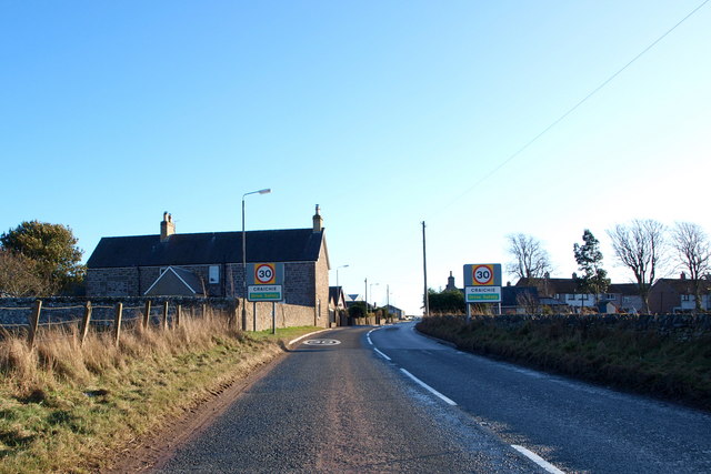 Craichie from the west | |
 Craichie Location within Angus | |
| OS grid reference | NO503473 |
| Council area | |
| Lieutenancy area | |
| Country | Scotland |
| Sovereign state | United Kingdom |
| Post town | FORFAR |
| Postcode district | DD8 |
| Dialling code | 01307 |
| Police | Scotland |
| Fire | Scottish |
| Ambulance | Scottish |
| UK Parliament |
|
| Scottish Parliament |
|
History
The hamlet was mentioned in 1329 in the Registers of the Abbey of Arbroath. The Registers recorded that they were owned by Walter de Tulloch in 1438, and Alexander of Sturrock in 1509.[2] It had a primary school from 1900 until the 1980s which served the hamlet as well as the surrounding area. It is now served by Letham Primary School. Craichie has expanded through new houses built in the late 20th century and in 2003–4.[3]
References
- Ordnance Survey, Great Britain (2007), "Dundee and Montrose, Forfar and Arbroath", Ordnance Survey Landranger Map (B2 ed.), ISBN 978-0-319-22980-4
- Registrum de Aberbrothoc, pub 1856
- Craichie - Angus Ahead[permanent dead link], 2015
| Wikimedia Commons has media related to Craichie. |
This Angus location article is a stub. You can help Wikipedia by expanding it. |
Текст в блоке "Читать" взят с сайта "Википедия" и доступен по лицензии Creative Commons Attribution-ShareAlike; в отдельных случаях могут действовать дополнительные условия.
Другой контент может иметь иную лицензию. Перед использованием материалов сайта WikiSort.org внимательно изучите правила лицензирования конкретных элементов наполнения сайта.
Другой контент может иметь иную лицензию. Перед использованием материалов сайта WikiSort.org внимательно изучите правила лицензирования конкретных элементов наполнения сайта.
2019-2025
WikiSort.org - проект по пересортировке и дополнению контента Википедии
WikiSort.org - проект по пересортировке и дополнению контента Википедии