world.wikisort.org - India
Ramban is a district in the Indian union territory of Jammu and Kashmir, located in the lap of the Pir Panjal range. It was carved out as a separate district from erstwhile Doda district in 2007.[5] It is located in the Jammu division. The district headquarters are at Ramban town, which is located midway between Jammu and Srinagar along the Chenab river in the Chenab valley on National Highway-44, (formerly NH1A) approximately 151 km from Jammu and Srinagar.[6]
Ramban district | |
|---|---|
District of Jammu and Kashmir | |
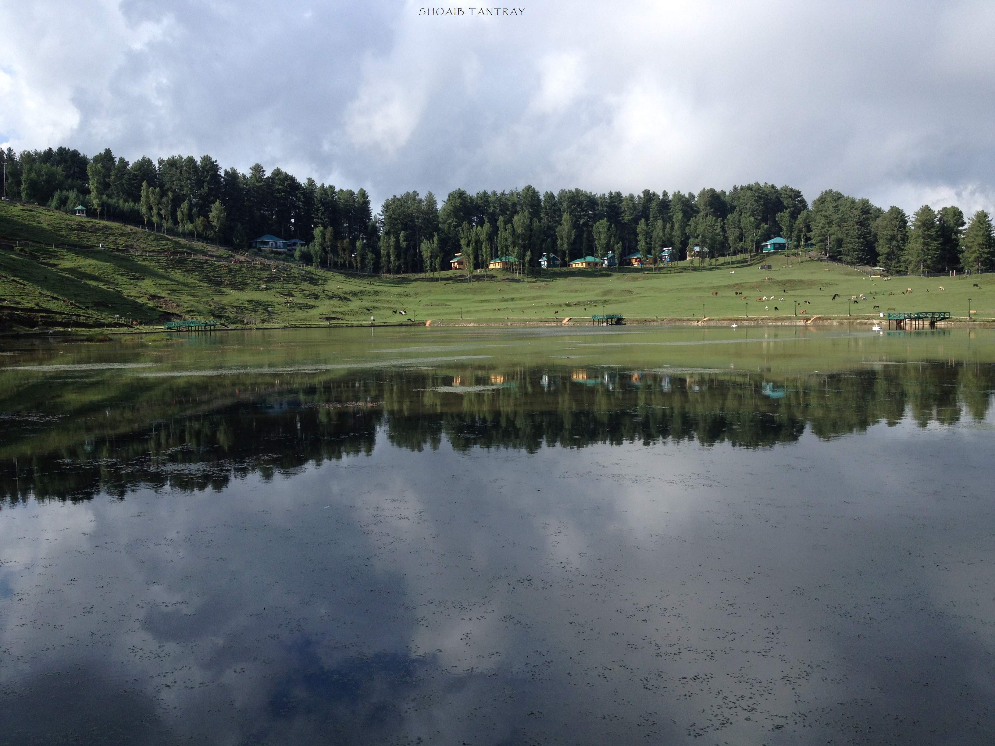
 View of Ramban | |
 Location of Ramban district in Jammu and Kashmir | |
| Coordinates: 33°14′24″N 75°14′24″E | |
| Country | |
| Union Territory | Jammu and Kashmir |
| Division | Jammu Division |
| Region | Chenab Valley |
| Headquarters | Ramban |
| Tehsils |
|
| Area | |
| • Total | 1,329 km2 (513 sq mi) |
| Population (2011) | |
| • Total | 283,713 |
| • Density | 210/km2 (550/sq mi) |
| • Urban | 4.16% [1] |
| Demographics | |
| • Literacy | 54.27% [2] |
| • Sex ratio | 902 |
| Languages | |
| • Spoken | Kashmiri, Pogali, Urdu & Dogri |
| • Official | Kashmiri, Dogri, Hindi, English & Urdu [3][4] |
| Time zone | UTC+05:30 (IST) |
| Vehicle registration | JK-19 |
| Major highways | NH-44 |
| Website | http://ramban.gov.in |
Administration
Ramban District is divided into eight tehsils: Banihal, Ramban, Khari, Rajgarh, Batote, Gool, Pogal Paristan (Ukhral) and Ramsoo.[7]
Each tehsil has its tehsildar, who is the administrative head. The district consisted of 116 census villages and 127 revenue villages in 2001. The total number of panchayat Halqas in the district was 124.
District Development Council Ramban
In the elections for Ramban's District Development Council, Shamshad Begum was elected chairman and Rabiya Beigh was elected vice-chairman.[8]
Geography
Ramban district is 1,156 metres (3,792 feet) above sea level (on average). The boundary lines of Ramban district encompass hill station Patnitop as its southernmost point, Assar on its eastern edge, Gool to the west, and Banihal to the north. The terrain of district Ramban is tough and hilly. District Ramban shares its boundary with Reasi, Udhampur, Doda, Anantnag and Kulgam.[5]
Climate
The climate of the District varies according to altitude. The temperature rises as high as 42 °C in the low-lying areas like Ramban town located in between steep mountains on the banks of river Chenab and drops to sub-zero in the high altitude areas like Sangaldan, Gool, Dhagantop, Asthanmarg, Lalagundi, Budhan, Pogal, Paristan, Neel. The working season in most of the district is about eight months because of typical weather conditions in the district.
Politics
Ramban district has three assembly constituencies: Ramban, Banihal and Gool batote .[9]
On 21 January 2021, Ramban district was declared as 'terrorist free' district in Jammu and Kashmir.[10]
Demographics
| Year | Pop. | ±% |
|---|---|---|
| 1901 | 46,580 | — |
| 1911 | 50,305 | +8.0% |
| 1921 | 51,062 | +1.5% |
| 1931 | 57,361 | +12.3% |
| 1941 | 61,720 | +7.6% |
| 1951 | 71,242 | +15.4% |
| 1961 | 80,764 | +13.4% |
| 1971 | 105,767 | +31.0% |
| 1981 | 130,569 | +23.4% |
| 1991 | 168,962 | +29.4% |
| 2001 | 214,944 | +27.2% |
| 2011 | 283,713 | +32.0% |
| source:[11] † 1951 and 1991 populations are estimated | ||
According to the 2011 census, Ramban district has a population of 283,713.[12] roughly equal to the nation of Barbados.[13] This gives it a ranking of 573rd in India (out of a total of 640).[12] The district has a population density of 213 inhabitants per square kilometre (550/sq mi) .[12] Its population growth rate over the decade 2001-2011 was 31.81%.[12] Ramban has a sex ratio of 902 females for every 1000 males,[12] and a literacy rate of 54.27%.[12]
| Ramban district: religion, gender ratio, and % urban of population, according to the 2011 Census.[14] | |||||||||
|---|---|---|---|---|---|---|---|---|---|
| Hindu | Muslim | Christian | Sikh | Buddhist | Jain | Other | Not stated | Total | |
| Total | 81,026 | 200,516 | 414 | 753 | 43 | 3 | 252 | 706 | 283,713 |
| 28.56% | 70.68% | 0.15% | 0.27% | 0.02% | 0.00% | 0.09% | 0.25% | 100.00% | |
| Male | 43,844 | 104,078 | 253 | 427 | 24 | 2 | 132 | 372 | 149,132 |
| Female | 37,182 | 96,438 | 161 | 326 | 19 | 1 | 120 | 334 | 134,581 |
| Gender ratio (% female) | 45.9% | 48.1% | 38.9% | 43.3% | 44.2% | 33.3% | 47.6% | 47.3% | 47.4% |
| Sex ratio (no. of females per 1,000 males) |
848 | 927 | – | 763 | – | – | – | 898 | 902 |
| Urban | 5,087 | 6,224 | 70 | 405 | 1 | 1 | 1 | 22 | 11,811 |
| Rural | 75,939 | 194,292 | 344 | 348 | 42 | 2 | 251 | 684 | 271,902 |
| % Urban | 6.3% | 3.1% | 16.9% | 53.8% | 2.3% | 33.3% | 0.4% | 3.1% | 4.2% |
Tourist attractions
Sanasar
Tourist activities Sanasar include paragliding, hot air ballooning, trekking, camping, golf, rock climbing and abseiling.[16]
Major projects
- Baglihar Dam
- Pir Panjal Railway Tunnel
- Banihal Qazigund Road Tunnel
- Dr. Syama Prasad Mookerjee Tunnel
- Sangaldan Railway Station
- Sangaldan Tunnel
See also
- Ramban
- Banihal
- Banihal Pass
- Doda District
- Jammu and Kashmir
- Chenab Valley
- Sangaldan
- Pir Panjal Range
- Baglihar Dam
- Badshah Khan (wrestler)
References
- Census of India 2011
- "Ramban District Population, Caste, Religion Data (Jammu and Kashmir) - Census 2011".
- "The Jammu and Kashmir Official Languages Act, 2020" (PDF). The Gazette of India. 27 September 2020. Retrieved 27 September 2020.
- "Parliament passes JK Official Languages Bill, 2020". Rising Kashmir. 23 September 2020. Retrieved 30 May 2021.
- - About Ramban
- Statement showing the number of blocks in respect of 22 Districts of Jammu and Kashmir State including newly Created Districts Archived 2008-09-10 at the Wayback Machine dated 2008-03-13, accessed 2008-08-30
- "District Profile". District Administration, Ramban. Indian Government. Retrieved 15 September 2017.
- "DDC election for chairperson: NC bags Chairman posts in Kishtwar, Ramban". Daily Excelsior. 18 February 2021. Retrieved 19 February 2021.
- "ERO's and AERO's". Chief Electoral Officer, Jammu and Kashmir. Archived from the original on 22 October 2008. Retrieved 28 August 2008.
- "J-K: Doda, Ramban districts now 'terrorism-free', say police". ANI. 21 January 2021.
- "A-2 Decadal Variation In Population Since 1901". Censusindia.gov.in. Retrieved 9 August 2019.
- "District Census 2011". Census2011.co.in. 2011. Retrieved 30 September 2011.
- US Directorate of Intelligence. "Country Comparison:Population". Archived from the original on 13 June 2007. Retrieved 1 October 2011.
Barbados 286,705 July 2011 est.
- C-1 Population By Religious Community – Jammu & Kashmir (Report). Office of the Registrar General & Census Commissioner, India. Retrieved 28 July 2020.
- C-16 Population By Mother Tongue – Jammu & Kashmir (Report). Office of the Registrar General & Census Commissioner, India. Retrieved 18 July 2020.
- "Sanasar Sightseeing, Places To Visit In Sanasar, Things To Do In Sanasar". www.holidify.com. Retrieved 18 January 2017.
External links
Places adjacent to Ramban district | ||||||||||||||||
|---|---|---|---|---|---|---|---|---|---|---|---|---|---|---|---|---|
| ||||||||||||||||
Capital: Srinagar (Summer); Jammu (Winter) | |||||
| History |
| ||||
| Government and politics |
| ||||
| Culture and places | |||||
| Districts and divisions |
| ||||
| Cities | |||||
| Towns |
| ||||
| Famous villages | |||||
| Regions |
| ||||
| Railways | |||||
| Roads |
| ||||
| Local elections |
| ||||
| Sports |
| ||||
| Other topics |
| ||||
На других языках
[de] Ramban (Distrikt)
Der Distrikt Ramban (Urdu ضلع رام بن) ist ein Distrikt im indischen Unionsterritorium Jammu und Kashmir.- [en] Ramban district
[ru] Рамбан (округ)
Рамбан (англ. Ramban) — округ в индийской союзной территории Джамму и Кашмир, в регионе Джамму. Административный центр — город Рамбан. По данным всеиндийской переписи 2001 года население округа составляло 215 000 человек.Другой контент может иметь иную лицензию. Перед использованием материалов сайта WikiSort.org внимательно изучите правила лицензирования конкретных элементов наполнения сайта.
WikiSort.org - проект по пересортировке и дополнению контента Википедии