world.wikisort.org - USA
Whitecone (Navajo: Baaʼoogeedí) is a census-designated place in Navajo County, in the U.S. state of Arizona.[2] The population was 817 at the 2010 census.[3]
Whitecone, Arizona
Baaʼoogeedí | |
|---|---|
CDP | |
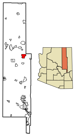 Location of Whitecone in Navajo County, Arizona. | |
 Whitecone Location in Arizona  Whitecone Location in the United States | |
| Coordinates: 35°36′17″N 110°4′48″W | |
| Country | |
| State | |
| County | Navajo |
| Area | |
| • Total | 45.11 sq mi (116.84 km2) |
| • Land | 45.10 sq mi (116.80 km2) |
| • Water | 0.01 sq mi (0.04 km2) |
| Population (2020) | |
| • Total | 768 |
| • Density | 17.03/sq mi (6.58/km2) |
| Time zone | UTC-7 (MST (no DST)) |
| FIPS code | 04-82390 |
Demographics
| Historical population | |||
|---|---|---|---|
| Census | Pop. | %± | |
| 2010 | 817 | — | |
| 2020 | 768 | −6.0% | |
| U.S. Decennial Census[4] | |||
As of the census[5] of 2010, there were 817 people, 225 households, and 184 families living in the CDP. The racial makeup of the CDP was 96.8% Native American, 0.4% White, 0.4% Asian, 0.4% Pacific Islander, 0.1% from other races, and 2.0% from two or more races. 3.2% of the population were Hispanic or Latino of any race.
There were 225 households, out of which 36% had children under the age of 18 living with them, 46.2% were married couples living together, 25.3% had a female householder with no husband present, and 18.2% were non-families. 17.8% of all households were made up of individuals, and 5.8% had someone living alone who was 65 years of age or older. The average household size was 3.36 and the average family size was 4.10.
Notable people
- Harrison Begay, Navajo painter, was born in Whitecone.
- Sherwin Bitsui, Navajo writer, is from Whitecone.
References
- "2020 U.S. Gazetteer Files". United States Census Bureau. Retrieved October 29, 2021.
- U.S. Geological Survey Geographic Names Information System: Whitecone, Arizona
- "2010 Census Gazetteer Files - Places: New Mexico". U.S. Census Bureau. Retrieved February 26, 2017.
- "Census of Population and Housing". Census.gov. Retrieved June 4, 2016.
- "American FactFinder". United States Census Bureau. Archived from the original on 2020-02-13. Retrieved 2018-10-10.

Другой контент может иметь иную лицензию. Перед использованием материалов сайта WikiSort.org внимательно изучите правила лицензирования конкретных элементов наполнения сайта.
WikiSort.org - проект по пересортировке и дополнению контента Википедии