world.wikisort.org - USA
Wevok (Iñupiaq: Uivvaq) is a former Iñupiat village in the western part of North Slope Borough in the U.S. state of Alaska.
Wevok, Alaska | |
|---|---|
Unincorporated area | |
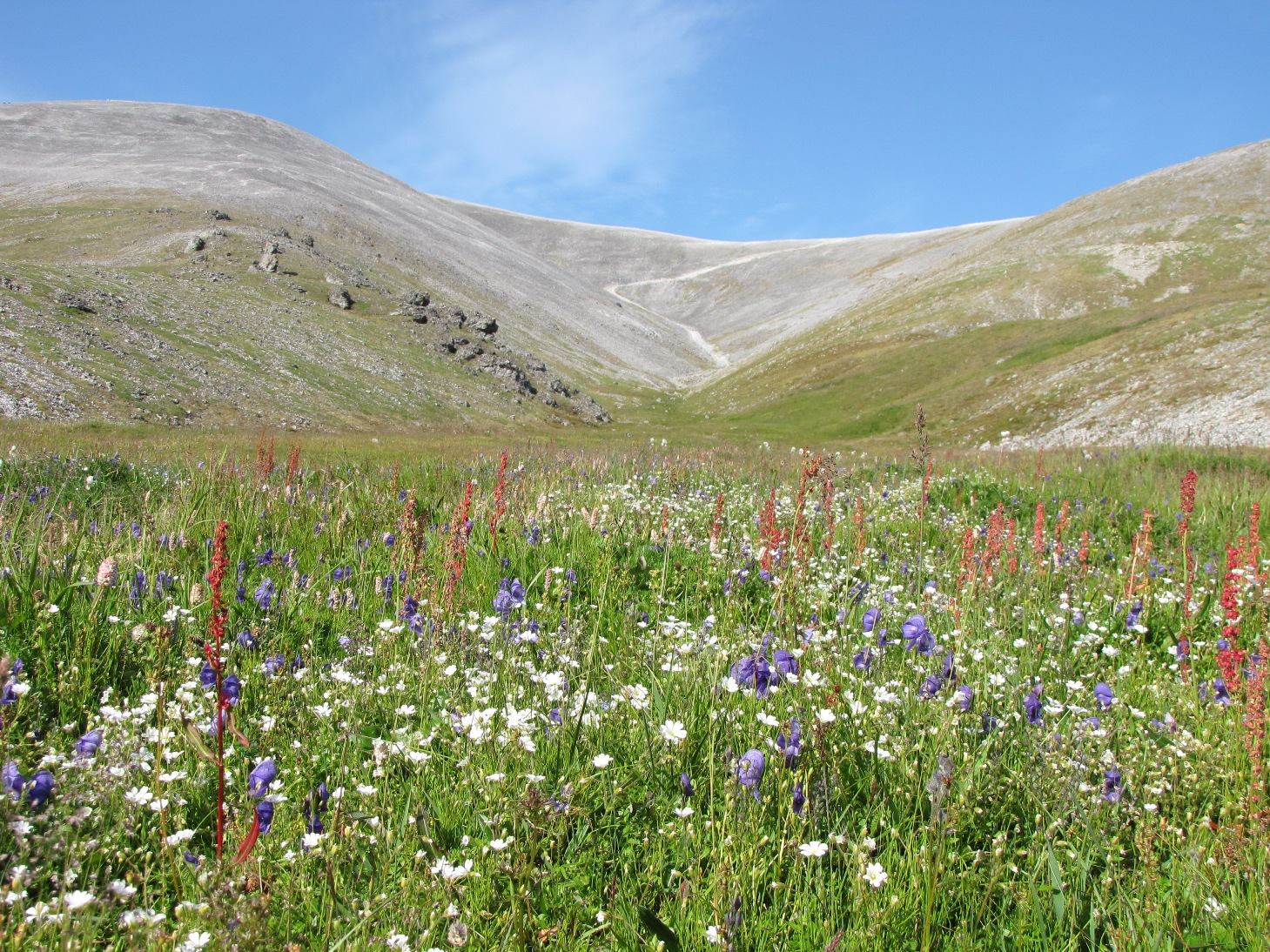 Wildflowers on Cape Lisburne | |
 Wevok, Alaska Location within the state of Alaska | |
| Coordinates: 68°52′19″N 166°5′25″W | |
| Country | United States |
| State | Alaska |
| Borough | North Slope |
| Government | |
| • Borough mayor | Harry K. Brower, Jr. |
| • State senator | Donny Olson (D) |
| • State rep. | Dean Westlake (D) |
| Elevation | 56 ft (17 m) |
| Time zone | UTC-9 (Alaska (AKST)) |
| • Summer (DST) | UTC-8 (AKDT) |
Its name is derived from the Iñupiat name of Cape Lisburne, which is 5 km (3.1 mi) to the west. Its maximum elevation is 17 m (56 ft).[1]
Demographics
| Historical population | |||
|---|---|---|---|
| Census | Pop. | %± | |
| 1880 | 13 | — | |
| U.S. Decennial Census[2] | |||
Wevok appeared once on the 1880 U.S. Census as "Cape Lisburne", an unincorporated Inuit village of 13 residents (all Inuit).[3] The village did not report again on the census.
Climate
| Climate data for Cape Lisburne | |||||||||||||
|---|---|---|---|---|---|---|---|---|---|---|---|---|---|
| Month | Jan | Feb | Mar | Apr | May | Jun | Jul | Aug | Sep | Oct | Nov | Dec | Year |
| Record high °C (°F) | 5 (41) |
7 (45) |
7 (44) |
8 (46) |
12 (54) |
18 (65) |
23 (73) |
23 (74) |
18 (64) |
14 (57) |
6 (42) |
8 (47) |
23 (74) |
| Average high °C (°F) | −15.2 (4.6) |
−20.1 (−4.2) |
−18.2 (−0.7) |
−11.6 (11.2) |
−1.1 (30.1) |
5.8 (42.5) |
9.9 (49.8) |
9.2 (48.5) |
4.5 (40.1) |
−3.3 (26.1) |
−10.7 (12.7) |
−16.3 (2.6) |
−5.6 (21.9) |
| Daily mean °C (°F) | −18.4 (−1.1) |
−22.9 (−9.3) |
−21.1 (−5.9) |
−14.6 (5.8) |
−3.4 (25.8) |
3.3 (38.0) |
7.3 (45.2) |
7.2 (44.9) |
2.9 (37.3) |
−5.0 (23.0) |
−12.9 (8.8) |
−18.3 (−0.9) |
−8.1 (17.5) |
| Average low °C (°F) | −21.6 (−6.8) |
−25.7 (−14.3) |
−23.9 (−11.1) |
−17.6 (0.4) |
−5.8 (21.5) |
0.8 (33.5) |
4.7 (40.5) |
5.2 (41.3) |
1.3 (34.4) |
−6.8 (19.8) |
−15.1 (4.8) |
−21.3 (−6.4) |
−10.5 (13.1) |
| Record low °C (°F) | −41 (−42) |
−43 (−45) |
−39 (−39) |
−32 (−26) |
−24 (−11) |
−7 (20) |
−2 (29) |
−2 (29) |
−9 (15) |
−26 (−14) |
−31 (−23) |
−40 (−40) |
−43 (−45) |
| Average precipitation mm (inches) | 13 (0.51) |
7.1 (0.28) |
6.6 (0.26) |
9.9 (0.39) |
8.9 (0.35) |
16 (0.63) |
50 (1.96) |
70 (2.74) |
51 (2.01) |
28 (1.11) |
20 (0.77) |
8.4 (0.33) |
288 (11.34) |
| Average snowfall cm (inches) | 13 (5.0) |
7.4 (2.9) |
7.4 (2.9) |
9.4 (3.7) |
4.8 (1.9) |
1.5 (0.6) |
1.3 (0.5) |
1.0 (0.4) |
8.6 (3.4) |
23 (9.2) |
19 (7.3) |
8.9 (3.5) |
105 (41.4) |
| Source: Western Regional Climate Center[4] | |||||||||||||
References
- "Wevok, Alaska". Geographic Names Information System. United States Geological Survey.
- "U.S. Decennial Census". Census.gov. Retrieved June 6, 2013.
- http://www2.census.gov/prod2/decennial/documents/1880a_v1-17.pdf [bare URL PDF]
- "CAPE LISBURNE, ALASKA (501312)". Western Regional Climate Center. Retrieved March 16, 2022.
Municipalities and communities of North Slope Borough, Alaska, United States | ||
|---|---|---|
Borough seat: Utqiaġvik | ||
| Cities |
|  |
| CDPs |
| |
| Unincorporated communities |
| |
| Ghost towns |
| |
| ||
Текст в блоке "Читать" взят с сайта "Википедия" и доступен по лицензии Creative Commons Attribution-ShareAlike; в отдельных случаях могут действовать дополнительные условия.
Другой контент может иметь иную лицензию. Перед использованием материалов сайта WikiSort.org внимательно изучите правила лицензирования конкретных элементов наполнения сайта.
Другой контент может иметь иную лицензию. Перед использованием материалов сайта WikiSort.org внимательно изучите правила лицензирования конкретных элементов наполнения сайта.
2019-2026
WikiSort.org - проект по пересортировке и дополнению контента Википедии
WikiSort.org - проект по пересортировке и дополнению контента Википедии