world.wikisort.org - USA
Sånta Rita-Sumai, formerly Santa Rita and encompassing the former municipality of Sumay, is a village located on the southwest coast of the United States territory of Guam with hills overlooking Apra Harbor. According to the 2020 census it has a population of 6,470, which is up slightly from 6,084 in 2010 but down from 11,857 in 1990.[1] Santa Rita is the newest village in Guam, having been established after the Second World War.
Sånta Rita-Sumai
(formerly Sumay) | |
|---|---|
Village | |
 Flag | |
 Location of Santa Rita within the Territory of Guam. | |
| Country | United States |
| Territory | Guam |
| Government | |
| • Mayor | Dale Alvarez (D) |
| Population (2020)[1] | |
| • Total | 6,470 |
| Time zone | UTC+10 (ChST) |
History
| Historical population | |||
|---|---|---|---|
| Census | Pop. | %± | |
| 1960 | 12,126 | — | |
| 1970 | 8,109 | −33.1% | |
| 1980 | 9,183 | 13.2% | |
| 1990 | 11,857 | 29.1% | |
| 2000 | 7,500 | −36.7% | |
| 2010 | 6,084 | −18.9% | |
| 2020 | 6,470 | 6.3% | |
As the rest of the island, Sånta Rita-Sumai was under Spanish rule. Prior to the War, the village of Sumay was on the Orote Peninsula, which forms the southern boundary of Apra Harbor. Once a thriving commercial center, it suffered severe devastation from bombardment by the United States military forces during the Liberation of Guam from the Empire of Japan. The U.S. military assumed control over the ruins of Sumay and built Naval Base Guam on the old village site, while the residents of Sumay were relocated to the hills between their former village and Fena.
They established a new village, naming the settlement after Saint Rita of Cascia. The Fena area, which houses Ordnance Annex and Fena Lake (the main source of fresh water for the island), borders the eastern boundary of Sånta Rita-Sumai.
In August 2021, Gov. Lou Leon Guerrero signed a bill officially changing the name of the village.[2]
Demographics
The U.S. Census Bureau counts it under multiple census-designated places: Santa Rita,[3] and Apra Harbor.[4]
Education
The Department of Education serves the public schools in Sånta Rita-Sumai.
Sånta Rita-Sumai contains Harry S. Truman Elementary School, Southern High School, and PACE (Program of Alternative Certification for Educators), which was once Santa Rita Elementary School. H.S. Truman Elementary serves Santa Rita residents, while Southern High School serves Santa Rita, Agat and villages allocated by DoE districting. PACE serves students in need throughout the DoE program.[5] Oceanview Middle School in Agat serves middle school residents.[6]
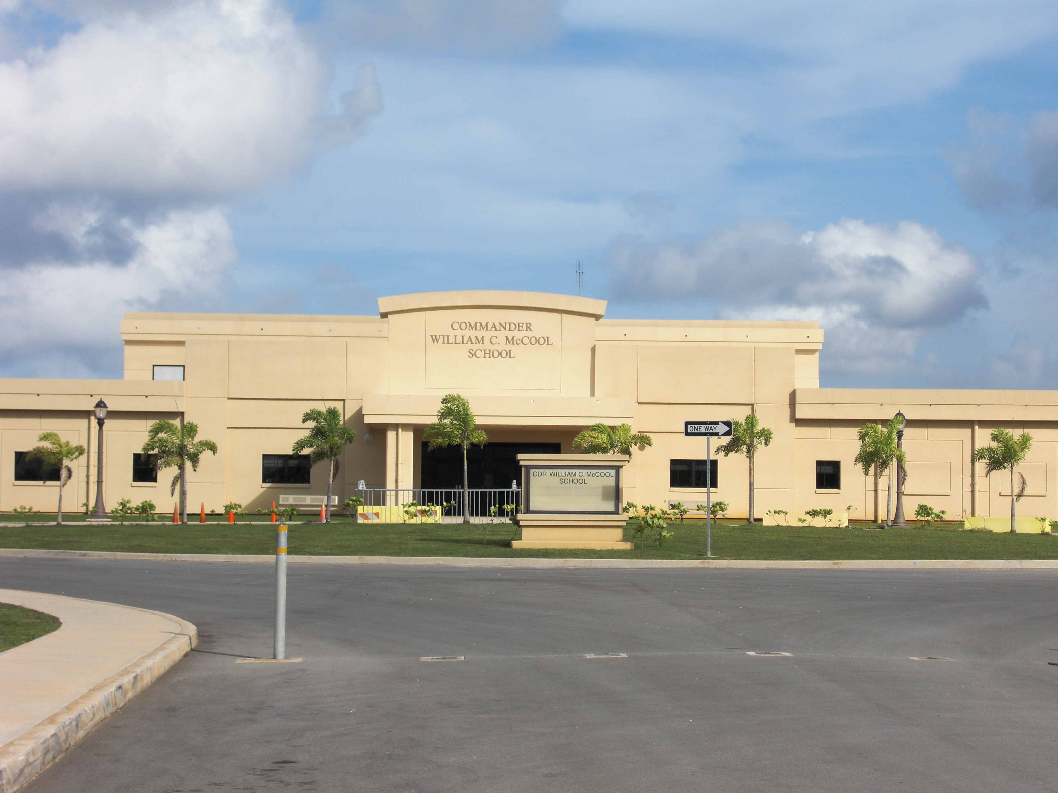
In addition, Commander William C. McCool Elementary/Middle School (Originally Guam South Elementary/Middle School), operated by the Department of Defense Education Activity, is located on Naval Base Guam, nearly the old Sumay village site.[7][8]
Notable residents
- Speaker Antonio Unpingco (1942–2007) - Member of the Guam Legislature
Government
Commissioners (Sumay)
- Joaquin C. Diego (1927–1930)
- Vicente T. Borja (1930–1931)
- Tomas P. Sablan (1931–1935)
- Gregorio S. Borja (1935–1937)
- Vicente D. Lizama (1937–1939)
- Juan P. Sarmiento (1939–1941)
Commissioner (Sånta Rita-Sumai)
- Juan N. Perez (1945–1952)
- Joaquin D. Perez (1952–1969)
- Pedro L.G. Roberto (1969–1973)
| Mayor of Sånta Rita-Sumai | |||
| Name | Party | Term begin | Term end |
|---|---|---|---|
| Juan N. Perez | Democratic | January 1, 1973 | January 7, 1985 |
| Pedro L.G. Roberto | Republican | January 7, 1985 | January 2, 1989 |
| Gregorio M. Borja | Democratic | January 2, 1989 | January 6, 1997 |
| Joseph C. Wesley | Republican | January 6, 1997 | January 5, 2009 |
| Dale E. Alvarez | Democratic | January 5, 2009 | present |
See also
- Villages of Guam
References and external links
- Population of Guam: 2010 and 2020, U.S. Census Bureau.
- Healy, Shane (19 August 2021). "Gov. Leon Guerrero signs bills to change names of five southern villages". Guam PDN. Retrieved 5 September 2021.
- "2010 CENSUS - CENSUS BLOCK MAP: Santa Rita CDP, GU" (PDF). U.S. Census Bureau. Retrieved 2020-10-09. - See "Santa Rita muny"
- "2010 CENSUS - CENSUS BLOCK MAP (INDEX): Apra Harbor CDP, GU" (PDF). U.S. Census Bureau. Retrieved 2020-10-09. - pages 1 and 2 See "Santa Rita muny"
- "Guam's Public High Schools." Guam Public School System. Accessed September 8, 2008.
- "筋トレ豆知識 | 筋トレ豆知識". www.lk4kids.com. Archived from the original on 22 February 2006. Retrieved 12 January 2022.
- "Guam School to Be Renamed in Honor of NASA Astronaut William McCool". 21 August 2003.
- "Archived copy" (PDF). Archived from the original (PDF) on 2008-09-10. Retrieved 2008-09-09.
{{cite web}}: CS1 maint: archived copy as title (link)
- Rogers, Robert F (1995). Destiny's Landfall: A History of Guam: University of Hawaii Press. ISBN 0-8248-1678-1
External links
- Santa Rita Guam at Guam Portal
- PDN Village Maps
- "Municipalities of Guam". Statoids.
Authority control | |
|---|---|
| General |
|
| National libraries | |
На других языках
- [en] Sånta Rita-Sumai, Guam
[es] Santa Rita (Guam)
Santa Rita es un municipio de Guam, dependencia de los Estados Unidos localizada en Oceanía. Es la población más joven del territorio y según el censo del año 2000, posee 7500 habitantes.[1] En 1999 fue sede de los Juegos del Pacífico Sur.[ru] Санта-Рита (Гуам)
Санта-Рита (англ. Santa Rita, чамор. Sånta Rita) — деревня и муниципалитет на юго-западном побережье Гуама (США) на холмах, выходящих к гавани Апра. Поселение было образовано после Второй мировой войны и является самым молодым муниципалитетом Гуама. На востоке находится крупнейший водоём Гуама Фена.Другой контент может иметь иную лицензию. Перед использованием материалов сайта WikiSort.org внимательно изучите правила лицензирования конкретных элементов наполнения сайта.
WikiSort.org - проект по пересортировке и дополнению контента Википедии