world.wikisort.org - USA
Strawberry is a small unincorporated community on the South Fork American River, 3.25 miles (5 km) south-southwest of Pyramid Peak,[2] along U.S. Route 50 in the foothills of the Sierra Nevada. The sign on the highway reads population 50.
Strawberry | |
|---|---|
Unincorporated community | |
 Strawberry Lodge after a winter storm, facing U.S. Route 50 | |
 Strawberry Location in California  Strawberry Strawberry (the United States) | |
| Coordinates: 38°47′49″N 120°08′43″W | |
| Country | United States |
| State | California |
| County | El Dorado County |
| Elevation | 5,738 ft (1,749 m) |
| ZIP code | 95735 (Twin Bridges, CA) |
| Area code(s) | 530 |
| FIPS code | 32-60600 |
| GNIS feature ID | 0861100 |
California Historical Landmark | |
| Reference no. | 707 |
The town became a popular resort in the 1850s, and a station along the Central Overland Pony Express between Yank's Station and Webster's, Sugar Loaf House Station. It was along the Lincoln Highway Sierra Nevada Southern Route by 1916. The site is now registered as California Historical Landmark #707.[3]
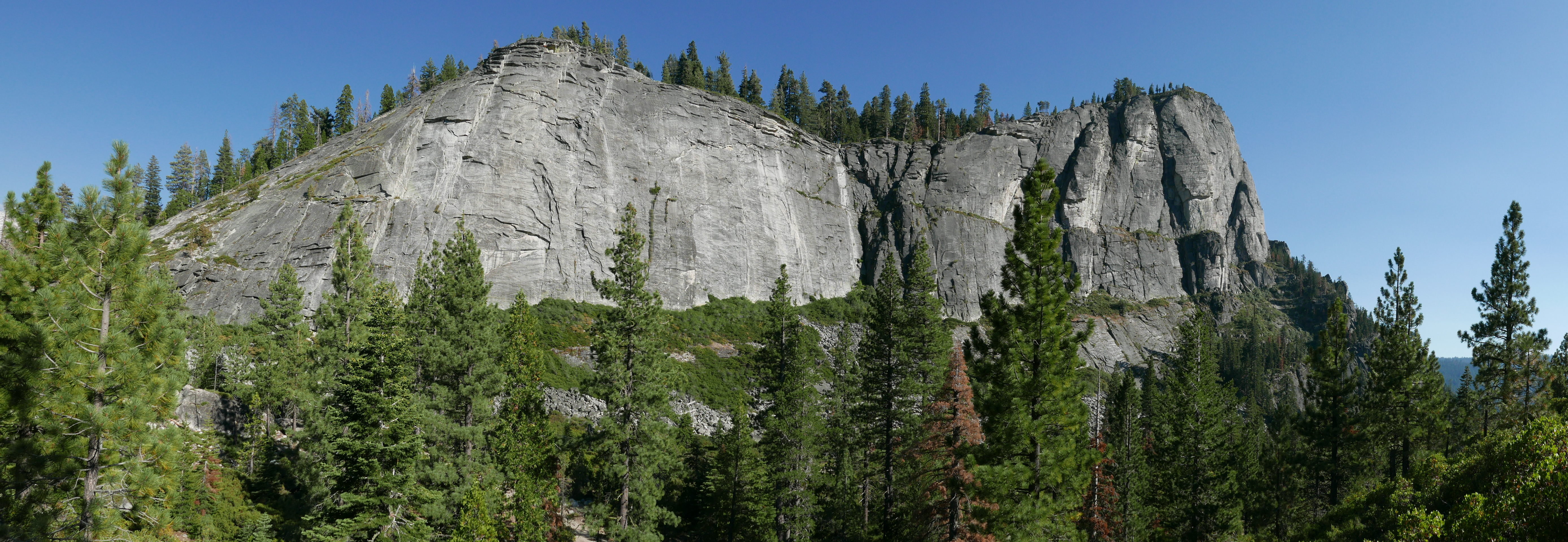
Strawberry is also the home of Lovers Leap climbing area.[4]
References
- U.S. Geological Survey Geographic Names Information System: Strawberry, El Dorado County, California
- Durham, David L. (1998). California's Geographic Names: A Gazetteer of Historic and Modern Names of the State. Clovis, Calif.: Word Dancer Press. p. 562. ISBN 1-884995-14-4.
- "Strawberry Valley House". Office of Historic Preservation, California State Parks. Retrieved 2012-10-07.
- "Rock climbing locations around Lake Tahoe for all skill levels | TahoeDailyTribune.com". Retrieved 2017-08-12.
Municipalities and communities of El Dorado County, California, United States | ||
|---|---|---|
County seat: Placerville | ||
| Cities |  | |
| CDPs |
| |
| Unincorporated communities |
| |
| Former settlements |
| |
| Footnotes | ‡This CDP also has portions in an adjacent county or counties | |
| ||
This El Dorado County, California–related article is a stub. You can help Wikipedia by expanding it. |
Текст в блоке "Читать" взят с сайта "Википедия" и доступен по лицензии Creative Commons Attribution-ShareAlike; в отдельных случаях могут действовать дополнительные условия.
Другой контент может иметь иную лицензию. Перед использованием материалов сайта WikiSort.org внимательно изучите правила лицензирования конкретных элементов наполнения сайта.
Другой контент может иметь иную лицензию. Перед использованием материалов сайта WikiSort.org внимательно изучите правила лицензирования конкретных элементов наполнения сайта.
2019-2025
WikiSort.org - проект по пересортировке и дополнению контента Википедии
WikiSort.org - проект по пересортировке и дополнению контента Википедии