world.wikisort.org - USA
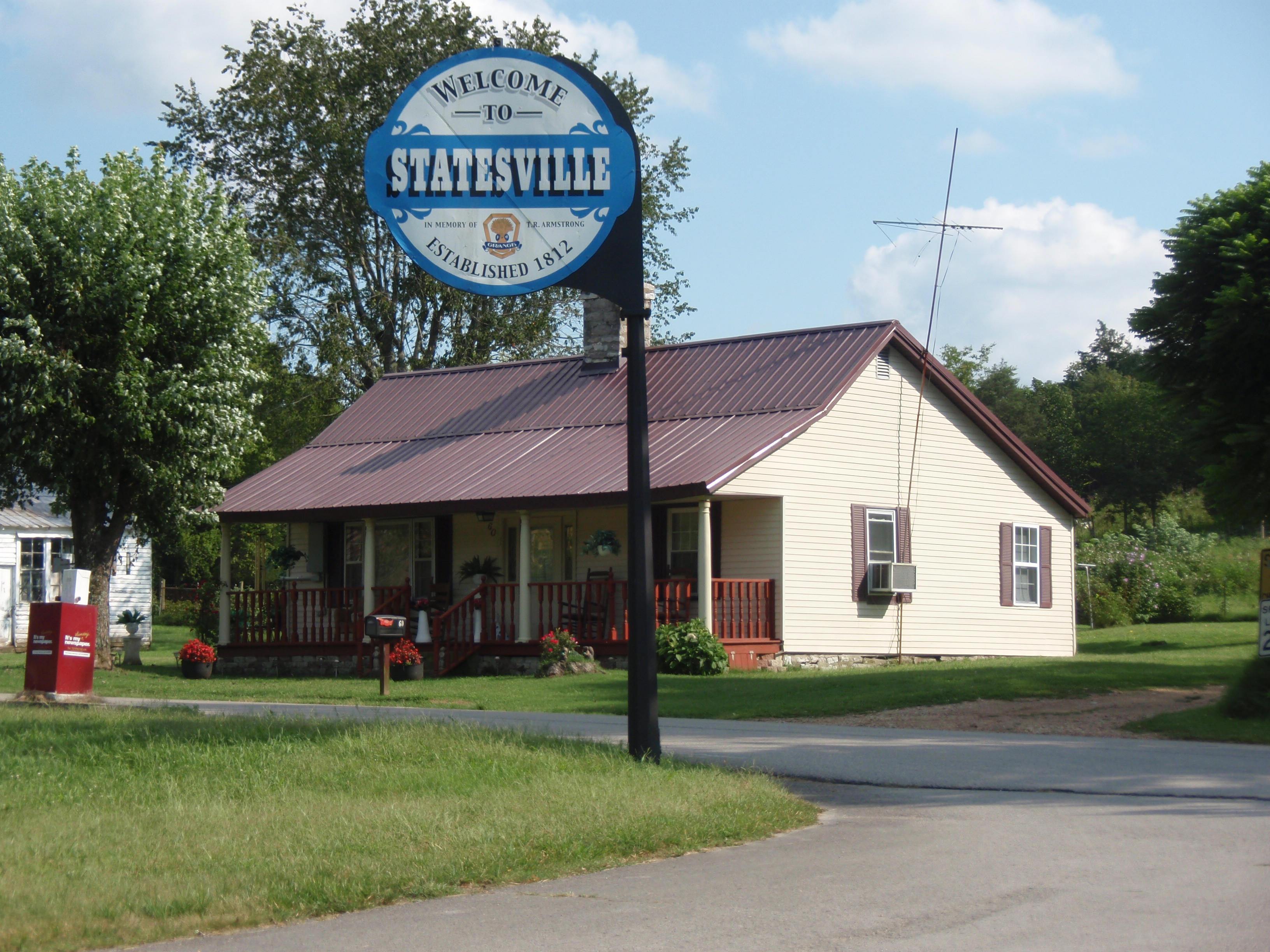
Statesville is an unincorporated community in Wilson County, Tennessee. It is located along Tennessee State Route 267 (Statesville Road) near Watertown.
Statesville, Tennessee | |
|---|---|
Unincorporated community | |
 | |
 | |
| Coordinates: 36°01′10″N 86°07′30″W | |
| Country | United States |
| State | Tennessee |
| County | Wilson |
| Area | |
| • Total | 0.88 sq mi (2.27 km2) |
| • Land | 0.88 sq mi (2.27 km2) |
| • Water | 0.00 sq mi (0.00 km2) |
| Elevation | 722 ft (220 m) |
| Population (2020)[2] | |
| • Total | 82 |
| • Density | 93.39/sq mi (36.05/km2) |
| Time zone | UTC-6 (Central (CST)) |
| • Summer (DST) | UTC-5 (CDT) |
| Area code | 615 |
| GNIS feature ID | 1303808[3] |
Demographics
| Historical population | |||
|---|---|---|---|
| Census | Pop. | %± | |
| 2020 | 82 | — | |
| U.S. Decennial Census[4] | |||
History
The community was first called Smith's Fork and was officially established in 1812,[5] making it the second oldest town in Wilson County. Local resident William Bumpass donated land to be divided into 19 town lots. The community was originally named "Marysville" in honor of Mary Bumpass, William's wife. In 1818 the community applied for a post office. To avoid confusion with Maryville in east Tennessee, the town's name was changed to Statesville, chosen in honor of Statesville, North Carolina, as many residents had come from that location.[6]
The post office was established on March 29, 1819, and was twice discontinued before closing in 1935. The town became prominent in 1834 when one-fourth of the state's cotton mills were located there. During that time there were seven stores, five saloons, a wood shop, three blacksmith shops, and three harness, boot, and shoe shops.[6]
 Statesville United Methodist Church
 Street in Statesville

Education
Statesville is served by Wilson County Schools.[7] Its zoned schools are Watertown Elementary School, Watertown Middle School, and Watertown High School.[8]
Notes
- "ArcGIS REST Services Directory". United States Census Bureau. Retrieved October 15, 2022.
- "Census Population API". United States Census Bureau. Retrieved Oct 15, 2022.
- "US Board on Geographic Names". United States Geological Survey. 2007-10-25. Retrieved 2008-01-31.
- "Census of Population and Housing". Census.gov. Retrieved June 4, 2016.
- History of Tennessee from the Earliest Time to the Present. Goodspeed Publishing Company. 1886. p. 856.
- History of Wilson County, Tennessee - Its Land and its Life. Ed. G. Frank Burns. 238
- "2020 CENSUS - SCHOOL DISTRICT REFERENCE MAP: Wilson County, TN" (PDF). U.S. Census Bureau. Retrieved 2021-07-06.
- "School Zone Maps". Wilson County School District. Retrieved 2021-07-06. - See Watertown Elementary, Watertown Middle, and Watertown High School zones.
Municipalities and communities of Wilson County, Tennessee, United States | ||
|---|---|---|
County seat: Lebanon | ||
| Cities |  | |
| Town | ||
| CDPs | ||
| Other communities |
| |
| Ghost towns |
| |
| ||
Authority control | |
|---|---|
| General |
|
| National libraries | |
This Wilson County, Tennessee geography–related article is a stub. You can help Wikipedia by expanding it. |
Другой контент может иметь иную лицензию. Перед использованием материалов сайта WikiSort.org внимательно изучите правила лицензирования конкретных элементов наполнения сайта.
WikiSort.org - проект по пересортировке и дополнению контента Википедии