world.wikisort.org - USA
Sparrow Bush is a hamlet (and census designated place)[2] in the town of Deerpark, in Orange County, New York, United States. The population as of the 2020 census is 981.[3] The community is located along state routes 42 and 97, 2.3 miles (3.7 km) northwest of Port Jervis. Sparrow Bush has a post office with ZIP code 12780.[4][5] The community is named after Henry L. Sparrow who owned a large piece of woodland near the D&H canal.The locals started to call this piece of land Sparrow's “Bosh” (meaning Sparrow's slope) and Sparrow's “Bosk” (meaning Sparrow's woods). Over time the name of the town gradually evolved into Sparrow bush.[6]
Sparrow Bush, New York | |
|---|---|
Hamlet and CDP | |
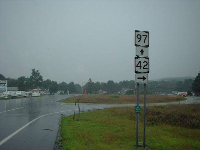 A intersection where NY 42 and NY 97 split into two different roads, located in Sparrow Bush, New York | |
 Sparrow Bush, New York  Sparrow Bush, New York | |
| Coordinates: 41°24′00″N 74°43′24″W | |
| Country | United States |
| State | New York |
| County | Orange |
| Town | Deerpark |
| Named for | Henry L. Sparrow |
| Area | |
| • Total | 2.8 sq mi (7.25 km2) |
| • Land | 2.72 sq mi (7 km2) |
| • Water | 0.07 sq mi (0.18 km2) |
| Elevation | 502 ft (153 m) |
| Population (2020) | |
| • Total | 981 |
| • Density | 350/sq mi (140/km2) |
| Time zone | UTC-5 (Eastern (EST)) |
| • Summer (DST) | UTC-4 (EDT) |
| ZIP code | 12780 |
| Area code | 845 |
| GNIS feature ID | 965949[1] |
It is zoned to Port Jervis School District,[7] which operates Port Jervis High School and 2 Elementary Schools.
Geography
Sparrow Bush is located at 41°24′00″N 74°43′24″W (41.2400, -74.4324)
According to the United States Census Bureau, the CDP has a total area of {{cvt|2.8|sqmi||, of which 2.72 sq mi (7.0 km2) is land and 0.07 sq mi (0.18 km2)(2.5%) is water.[8]

References
- "Sparrow Bush". Geographic Names Information System. United States Geological Survey, United States Department of the Interior.
- "State of New York Census Designated Places - Current/BAS20 - Data as of January 1, 2019". tigerweb.geo.census.gov. Retrieved 2020-02-24.
- "Explore Census Data". data.census.gov. Retrieved 2022-03-14.
- United States Postal Service. "USPS - Look Up a ZIP Code". Retrieved September 15, 2017.
- "Postmaster Finder - Post Offices by ZIP Code". United States Postal Service. Retrieved September 15, 2017.
- "History". townofdeerparkny.gov. Retrieved 2022-03-14.
- "2020 CENSUS - SCHOOL DISTRICT REFERENCE MAP: Orange County, NY" (PDF). U.S. Census Bureau. Retrieved 2021-05-05.
- Bureau, US Census. "Gazetteer Files". Census.gov. Retrieved 2022-04-28.
Municipalities and communities of Orange County, New York, United States | ||
|---|---|---|
County seat: Goshen | ||
| Cities |  | |
| Towns | ||
| Villages | ||
| CDPs | ||
| Other hamlets |
| |
| ||
This article about a location in Orange County, New York is a stub. You can help Wikipedia by expanding it. |
Другой контент может иметь иную лицензию. Перед использованием материалов сайта WikiSort.org внимательно изучите правила лицензирования конкретных элементов наполнения сайта.
WikiSort.org - проект по пересортировке и дополнению контента Википедии